Bend & the Deschutes
About this
Bend sits on the upper Deschutes River in central Oregon, with the Crooked and Metolius rivers to the north and the lower Deschutes canyon downstream toward Maupin.
Destination hub · 24 mi away in a straight line
The Deschutes River is a tailwater in Oregon, listed as Featured sport-fishing water by Oregon Department of Fish and Wildlife.
2 USGS gauges on the water report flow; Oregon Department of Fish and Wildlife lists 3 species, including rainbow trout, brown trout and whitefish. 9 guides and 4 shops nearby are listed here; the nearest destination hub is Bend & the Deschutes.
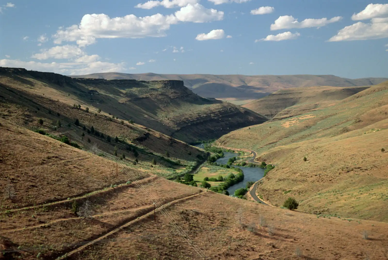
The lower Deschutes River canyon above Maupin, Oregon. Photo: USDA Forest Service, Pacific Northwest Region, public domain, via Wikimedia Commons
Deschutes River is a tailwater in Oregon. Our destination hub Bend & the Deschutes is 24 mi away in a straight line and lists it among its waters.
Pick one of its USGS gauges and hear from us when the flow moves into or out of its usual range for the date, or crosses a flow you set. We check the public USGS reading every 2 hours and email only when it crosses, at most once every 6 hours. Flow alone is not a fishing forecast or a safety call.
Signed in: one step. Otherwise we email a confirmation link first. Every alert has one-click links to stop it.
Start from the agency's public access map. Nothing on this page grants or implies access: check the agency map, posted signs and landowner permission before you fish.
Nothing on this page grants or implies access.
Gauges, shops and guides within 40 miles
Map of Deschutes River: gauges, shops and guides
Map of Deschutes River with 2 USGS gauges.
Restrooms within 2 miles of Deschutes River in a straight line, nearest first, with what anglers found when they went. The map says a restroom is there, not whether it is clean or open today.
No restroom mapped within 2 mi yet — add one you know.
Campgrounds, fishing access sites and boat ramps often have one that isn't on the map yet.
Restroom locations and map details: © OpenStreetMap contributors, Open Database License, read Oct 24, 2026. Ratings, answers and photos are members' own; who shared them is never shown, and every photo is reviewed before it appears. Visits older than 18 months no longer count. Distances are straight-line miles, not driving. Nothing here grants access to private land. Community guidelines.
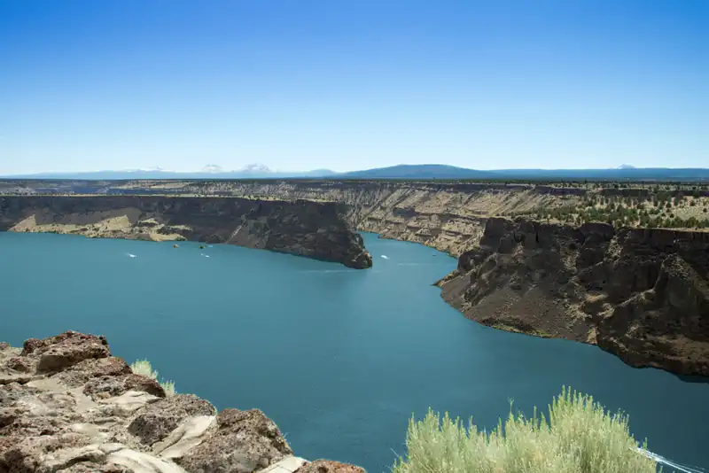 Featured sport-fishing water
Lake Billy Chinook, Oregon. Photo: icetsarina, CC0, via Wikimedia Commons
 Featured sport-fishing water
The Metolius River at sunrise with Mount Jefferson. Photo: Bonnie Moreland, public domain, via Wikimedia Commons
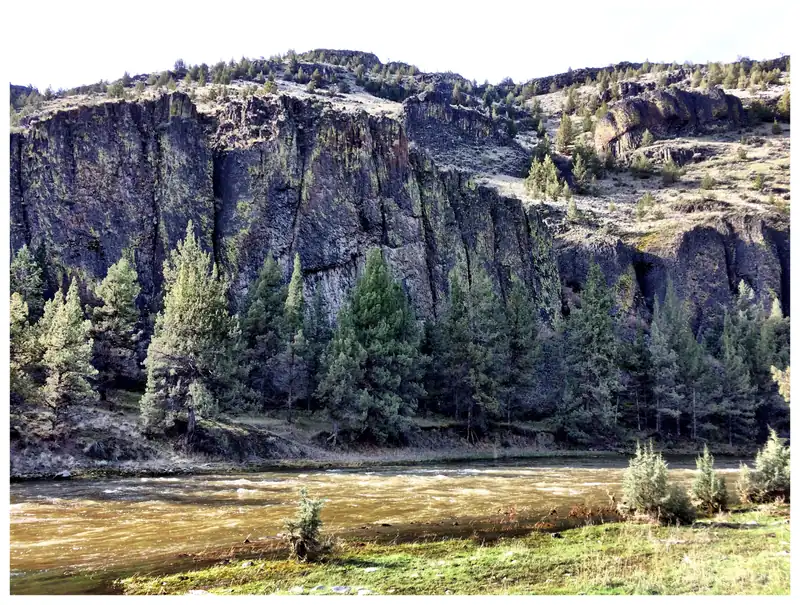 Featured sport-fishing water
The Chimney Rock segment of the Crooked Wild and Scenic River, below Bowman Dam. Photo: Bureau of Land Management Oregon and Washington, public domain, via Wikimedia Commons
 Featured sport-fishing waterRepresentative photo · not Haystack Reservoir
Eagle Lake, Lassen County, California, with dry Horse Lake in the foreground (aerial). Photo: Ken Lund from Reno, Nevada, USA, CC BY-SA 2.0, via Wikimedia Commons Not Haystack Reservoir.
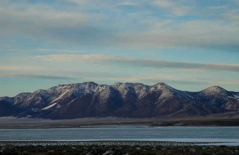 Featured sport-fishing waterRepresentative photo · not Suttle Lake
Crowley Lake and the Long Valley Caldera from US 395. Photo: Clinton Steeds, CC BY 2.0, via Wikimedia Commons Not Suttle Lake.
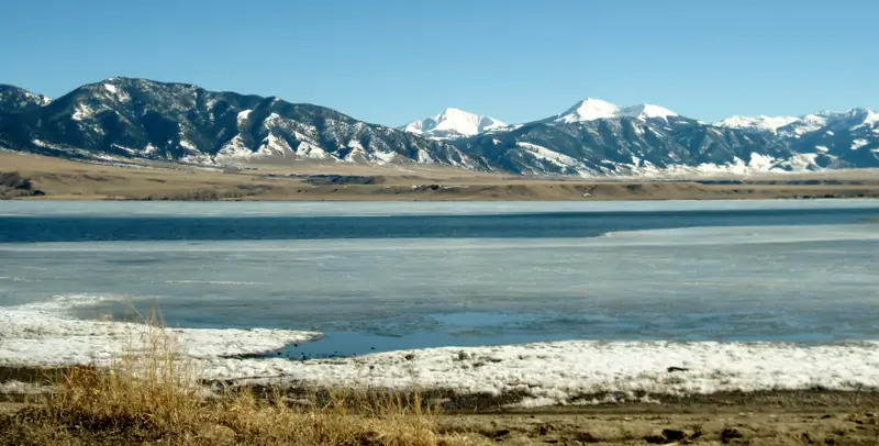 Featured sport-fishing waterRepresentative photo · not Ochoco Reservoir
Ennis Lake, Montana, in March, with the Madison Range beyond. Photo: Gloria Cabada-Leman, CC BY 2.0, via Flickr Not Ochoco Reservoir.
Seasons, limits, special regulations and closures for each reach are on the agency pages below. Read them before you go.
Each comes from the agency's own published list; where the list names a reach it is quoted. A designation applies to the listed reach, not necessarily the whole water. Listed in the finder under salmon & steelhead.
On the ODFW featured waters: Oregon's top steelhead rivers list (Oregon Department of Fish and Wildlife, read 2026-11-05). All waters with this designation
On the ODFW featured waters: Oregon's top steelhead rivers list (Oregon Department of Fish and Wildlife, read 2026-11-05). All waters with this designation
Measured from the NHDPlus High Resolution (flowlines and waterbodies) (U.S. Geological Survey, read 2026-11-04) for this water’s own mapped feature. Rounded figures; they describe the channel, not today’s conditions.
Areas the Protected Areas Database of the United States (PAD-US), public access (U.S. Geological Survey, Gap Analysis Project, read 2026-11-05) lists as owned or held in easement and open to the public, crossed by the mapped channel. Boundaries are mapped, not surveyed. Nothing on this page grants or implies access: check the agency map, posted signs and landowner permission before you fish.
37.4 of 247.7 mi on public land
+1 smaller areas
Nothing on this page grants or implies access.
Listings marked Unclaimed are built from open map records and the business's own website: confirm licensing, rates, dates and hours directly.
9 guides name it on their website
Madras, OR · 3 mi
Float trips · Walk-and-wade · Deschutes & Lower Deschutes
Names this water
Bend, OR · 11 mi
Crooked & Lake Billy Chinook
Names this water
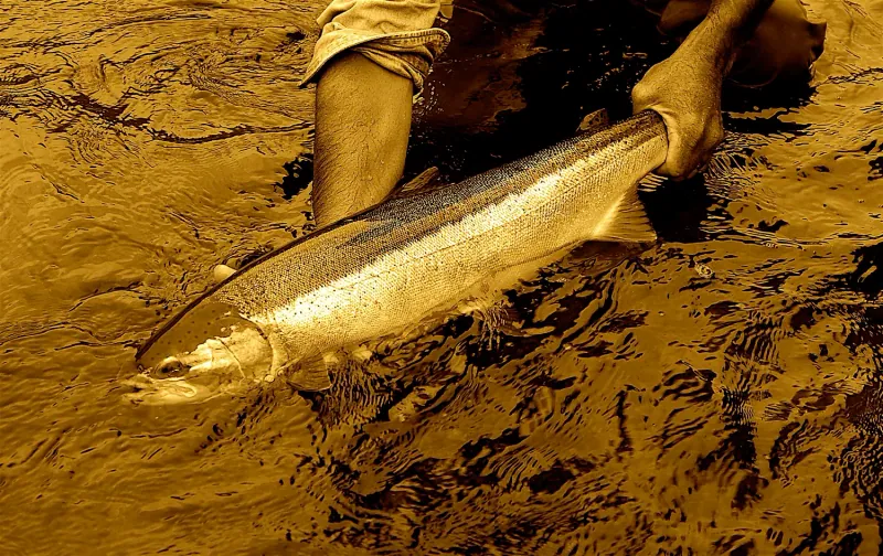
Maupin, OR · 27 mi
Float trips · Spey & two-handed · Deschutes & Sandy
Names this water
Bend, OR · 44 mi
Multi-day trips · Overnight camp trips · Owyhee & Deschutes
Names this water
Bend, OR · 46 mi
Spey & two-handed · Multi-day trips · Deschutes & North Umpqua
Names this water
Bend, OR · 47 mi
Float trips · Overnight camp trips · Deschutes & Crooked
Names this water
Sunriver, OR · 66 mi
Drift boat · Spey & two-handed · Deschutes & Crooked
Names this water
Hood River, OR · 69 mi
Drift boat · Jet boat · Deschutes & Sandy
Names this water
Madras, OR
Fly shop · Guided trips · Casting lessons & classes
The species the agency lists here; presence varies by reach and season.
Listed by the state agency
Species guide
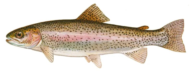
Rainbow trout (Oncorhynchus mykiss), illustration by Duane Raver for the U.S. Fish and Wildlife Service. Photo: Duane Raver, U.S. Fish and Wildlife Service, public domain, via Wikimedia Commons
Species guide
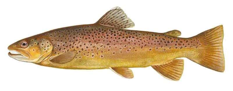
Brown trout (Salmo trutta), U.S. Fish and Wildlife Service illustration. Photo: U.S. Fish and Wildlife Service, public domain, via Wikimedia Commons
1 hatch charted for the region, not measured on this water. From Oregon Department of Fish & Wildlife.
Salmonfly (May)
Bend sits on the upper Deschutes River in central Oregon, with the Crooked and Metolius rivers to the north and the lower Deschutes canyon downstream toward Maupin.
Destination hub · 24 mi away in a straight line
Matched on the fish the agencies list for both waters first, then the same water type, an official designation or flagship listing on both, and a similar mapped size where USGS hydrography covers both.
At most two waters per country. A shared fish is a listing, not a promise: presence varies by reach and season.
Like the Deschutes River? Same fish, overseas.
 Flagship water
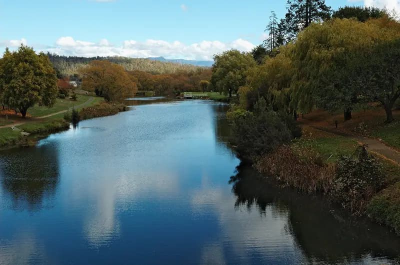
The Meander River in Deloraine, Tasmania. Photo: Gary Houston, CC0, via Wikimedia Commons
 Flagship water
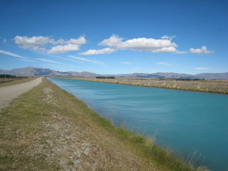
The Tekapo–Pukaki hydro canal, Mackenzie Country, Canterbury. Photo: Avenue, CC BY-SA 3.0, via Wikimedia Commons
 Tailwater
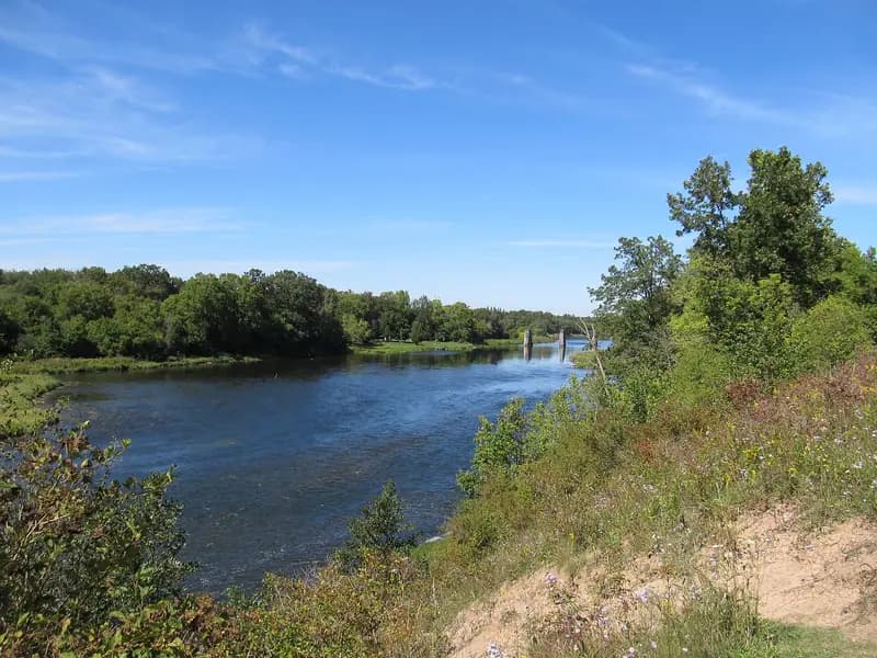
The Grand River just north of Paris, Ontario, looking upstream. Photo: JustSomePics, CC BY-SA 3.0, via Wikimedia Commons
 Tailwater
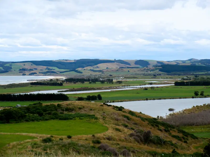
The lower Clutha River / Mata-Au and Inch Clutha from Kaitangata. Photo: Andrewrutherford, CC BY-SA 4.0, via Wikimedia Commons
 TailwaterRepresentative photo · not Río Calcurrupe
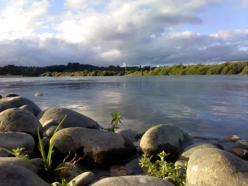
The Río Toltén at Pocoyán. Photo: Maxbalter, CC BY-SA 3.0, via Wikimedia Commons Not Río Calcurrupe.
 TailwaterRepresentative photo · not Brumbys Creek
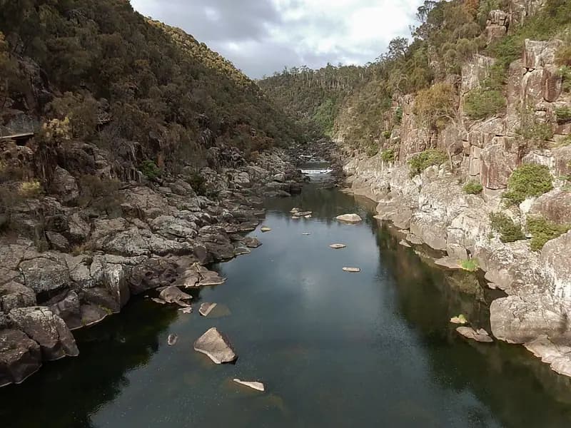
The South Esk River, Tasmania. Photo: Michael Coghlan from Adelaide, Australia, CC BY-SA 2.0, via Wikimedia Commons Not Brumbys Creek.
Southern seasons open while ours close.
 Flagship water
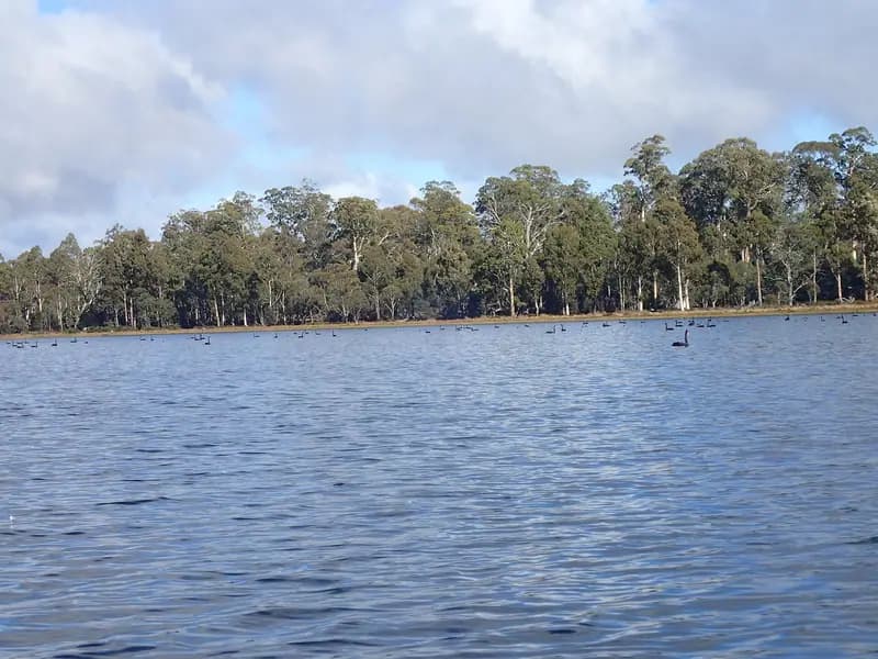
Penstock Lagoon, Central Highlands, Tasmania. Photo: Mike Cline, CC BY-SA 4.0, via Wikimedia Commons
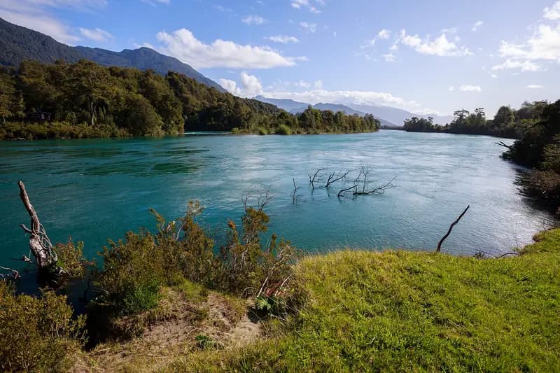 Freestone riverRepresentative photo · not Río Petrohué
The Río Puelo at Las Gualas, Cochamó. Photo: Nicolás from seno de reloncaví, Chile, CC BY-SA 2.0, via Wikimedia Commons Not Río Petrohué.
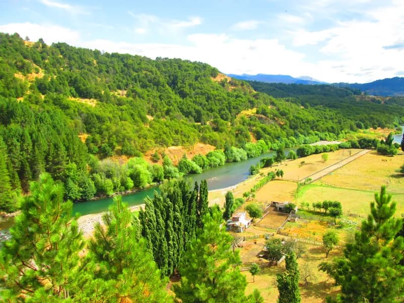 Lake or reservoirRepresentative photo · not Lago Llanquihue
The Río Simpson passing Coyhaique, Aysén. Photo: Manxuc, CC BY-SA 4.0, via Wikimedia Commons Not Lago Llanquihue.
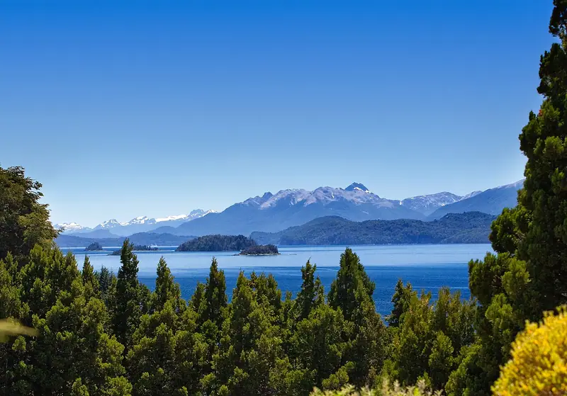 Lake or reservoir
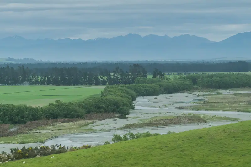 Flagship waterRepresentative photo · not Mataura River
The Oreti River near Lumsden, Southland. Photo: Krzysztof Golik, CC BY-SA 4.0, cropped, via Wikimedia Commons Not Mataura River.
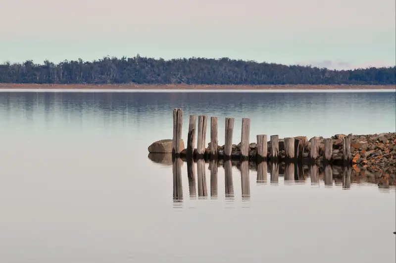 Flagship water
Great Lake, Tasmania. Photo: Peripitus, CC BY-SA 3.0, via Wikimedia Commons
A wade-fishing checklist for big western trout rivers: a 9 ft 5–6 weight outfit, nymph, dry and streamer setups, waders, boots and a wading staff, with estimated prices by tier and where to buy.
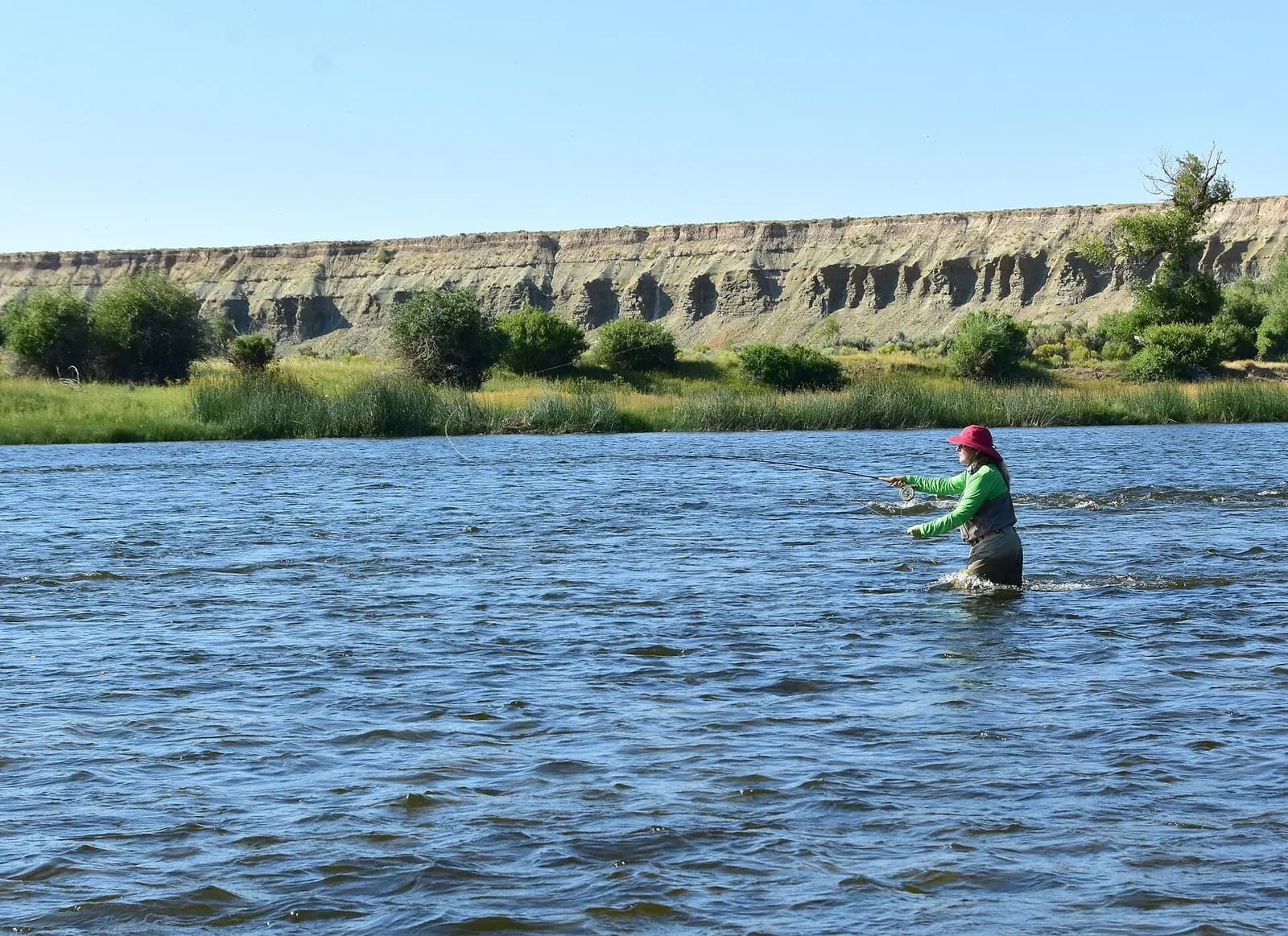
9′ rod, 5–6 weight, floating line · Rainbow and brown trout, whitefish
Open the checklistSeams, shelves and soft water, shown on real rivers.
Public YouTube videos from established channels, chosen by us to support this page. Not sponsored; the creators are not affiliated with Legendary Fly Gear.
Not sponsored All videos on reading water
Indicator rigs, depth and detecting the take.
Public YouTube videos from established channels, chosen by us to support this page. Not sponsored; the creators are not affiliated with Legendary Fly Gear.
Not sponsored All videos on nymphing
Trip stories anglers chose to share publicly and tagged with Deschutes River.
No stories from here yet.
Not a statement of access, fish presence or conditions.
A water page organises discovery. It does not assert public access, legal access, current fish presence, guide availability or fishing conditions.
Flows, gauge statistics and flood stages come from USGS and the National Weather Service when the page is shown. Regulations, stocking, species and season statements link to the agency that publishes them; this page copies only the species names and the quoted sentences. Guide and shop listings come from the Legendary directories. Position: the USGS gauge DESCHUTES RIVER NEAR MADRAS, OR. Water type is our own classification.
Featured sport-fishing waterLake Billy Chinook, Oregon. Photo: icetsarina, CC0, via Wikimedia Commons
Featured sport-fishing waterThe Metolius River at sunrise with Mount Jefferson. Photo: Bonnie Moreland, public domain, via Wikimedia Commons
Featured sport-fishing waterThe Chimney Rock segment of the Crooked Wild and Scenic River, below Bowman Dam. Photo: Bureau of Land Management Oregon and Washington, public domain, via Wikimedia Commons
Featured sport-fishing waterRepresentative photo · not Haystack ReservoirEagle Lake, Lassen County, California, with dry Horse Lake in the foreground (aerial). Photo: Ken Lund from Reno, Nevada, USA, CC BY-SA 2.0, via Wikimedia Commons Not Haystack Reservoir.
Featured sport-fishing waterRepresentative photo · not Suttle LakeCrowley Lake and the Long Valley Caldera from US 395. Photo: Clinton Steeds, CC BY 2.0, via Wikimedia Commons Not Suttle Lake.
Featured sport-fishing waterRepresentative photo · not Ochoco ReservoirEnnis Lake, Montana, in March, with the Madison Range beyond. Photo: Gloria Cabada-Leman, CC BY 2.0, via Flickr Not Ochoco Reservoir.
Madras, Oregon
Fishing lodge · 9.7 mi
Culver, Oregon
Resort · 12 mi