
Photo credit
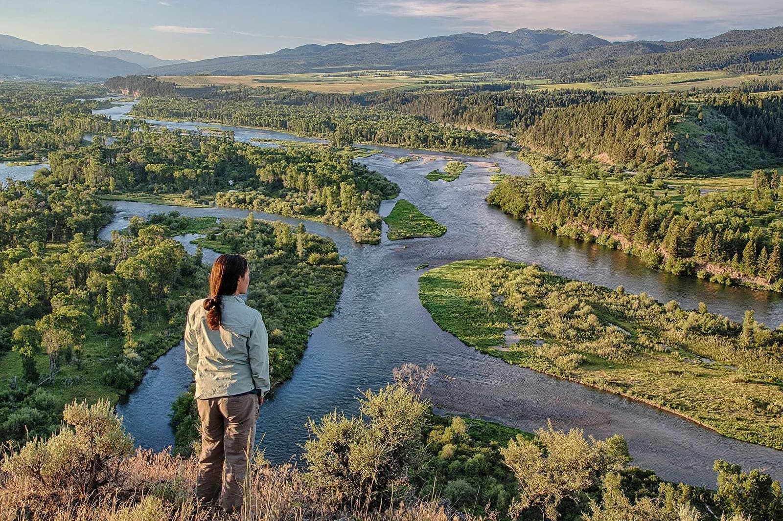
Above the South Fork of the Snake River, Idaho. Photo: Bureau of Land Management, public domain, via Wikimedia Commons
Find public water data nearby.
Look up USGS stream monitoring locations around a town or place.
Waterway finderSwitch tool
- Trip plannerPlan the days, the stay, the travel and a budget in your own numbers.
- Fly finderGet a few patterns to start with.
- Waterway finderFind nearby public monitoring stations.
- Flow rate checkerLive USGS flow, how it compares with the record, NWS flood stage.
- Fly identifierExplore an insect photo or use a guided ID.
- Gear finderCompare sourced products by fishing style.
- Contact usSupport, feedback, corrections, claim help.
- See all tools