
Kasilof River

Type
Freestone river, Alaska (West)
Designation
Steelhead / salmon water · Catch and release
USGS gauges
1 live
Guides
8 nearby
Shops
1 nearby

Today on the Kasilof River

Reading the gauge…

Regulations & access Guides & shops

The Kasilof River is a freestone river in Alaska, listed as Steelhead / salmon water by Alaska Department of Fish and Game, Division of Sport Fish.

More about the Kasilof River

1 USGS gauge on the water reports flow; Alaska Department of Fish and Game, Division of Sport Fish lists 2 species, including king salmon and rainbow/steelhead trout. 10 guides and 1 shop nearby are listed here; the nearest destination hub is Kenai Peninsula: Soldotna & the Kenai.

Updated · Sources: ADF&G Southcentral sport fishing regulations, Kenai Peninsula: water-specific salmon season or bag limit, ADF&G Southcentral sport fishing regulations, Kenai Peninsula: catch-and-release for rainbow/steelhead or cutthroat trout, Arctic char/Dolly Varden, lake trout or Arctic grayling, USGS Water Data

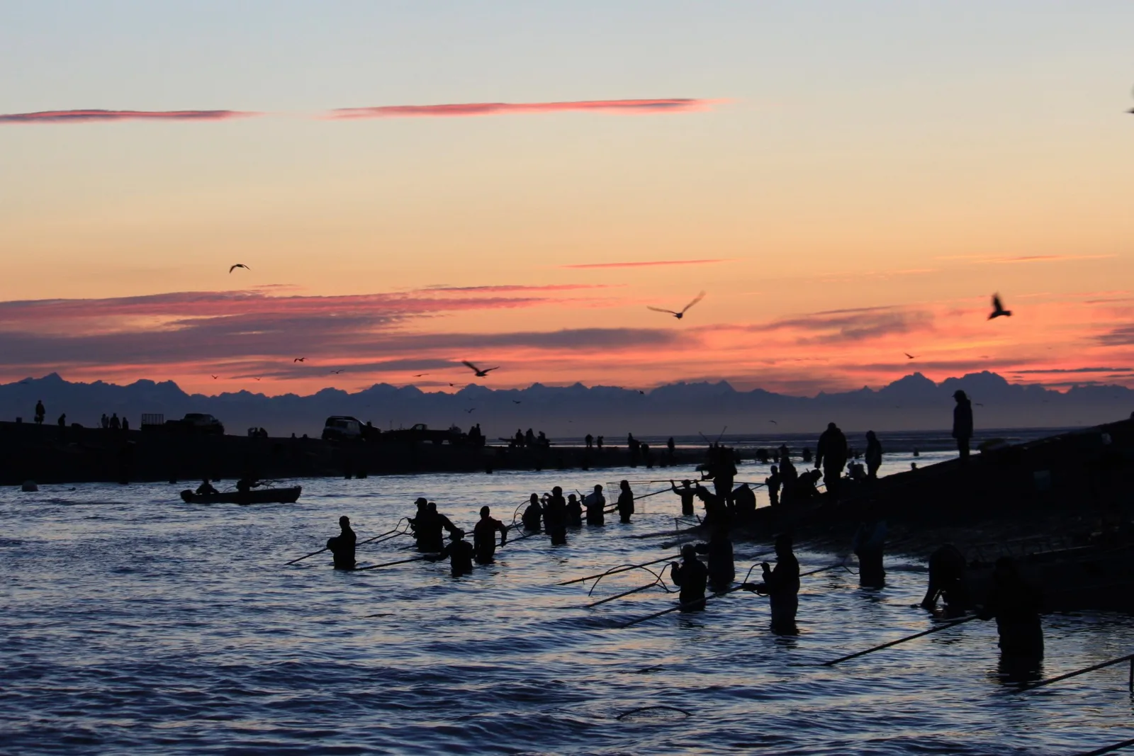
Silhouetted dip-netters standing in the mouth of the Kasilof River under a pink evening sky
Photo credit

Dip-netters at the mouth of the Kasilof River, Alaska, summer 2011 (U.S. Fish and Wildlife Service). Photo: USFWSAlaska, public domain, cropped, via Wikimedia Commons

Where it is

Kasilof River is a freestone river in Alaska. Our destination hub Kenai Peninsula: Soldotna & the Kenai is 11 mi away in a straight line and lists it among its waters.

Flow now at the gauge
Reading the gauges…

Where to fish

About this

Start from the agency's public access map. Nothing on this page grants or implies access: check the agency map, posted signs and landowner permission before you fish.

Nothing on this page grants or implies access.

Kasilof River on the map

About this

Gauges, shops and guides within 40 miles

Map of Kasilof River: gauges, shops and guides

RestroomsAccess map

Map of Kasilof River with 1 USGS gauge, and shops and guides with an exact address within 40 miles.

Restrooms near Kasilof River

Restrooms near Kasilof River

Restrooms within 2 miles of Kasilof River in a straight line, nearest first, with what anglers found when they went. The map says a restroom is there, not whether it is clean or open today.

Map of 4 restrooms near Kasilof River

Skip the map; every place is in the list below

Map of 4 restrooms near Kasilof River, numbered as in the list, with the water’s point marked.

  1. Restroom

    0.1 mi away in a straight line

    Not rated yet — be the first to tell other anglers if it's clean.

    We don't know yet: is it clean? · flush or vault? · free? · open to everyone? · step-free? — tell other anglers: show the questions
    • Is it clean?
    • Flush or vault?
    • Free?
    • Open to everyone?
    • Step-free?

    Mapped on OpenStreetMap · see or fix it on the map

  2. Restroom

    0.2 mi away in a straight line

    Not rated yet — be the first to tell other anglers if it's clean.

    We don't know yet: is it clean? · flush or vault? · free? · open to everyone? · step-free? — tell other anglers: show the questions
    • Is it clean?
    • Flush or vault?
    • Free?
    • Open to everyone?
    • Step-free?

    Mapped on OpenStreetMap · see or fix it on the map

  3. Restroom

    1.0 mi away in a straight line

    Not rated yet — be the first to tell other anglers if it's clean.

    We don't know yet: is it clean? · flush or vault? · free? · open to everyone? · step-free? — tell other anglers: show the questions
    • Is it clean?
    • Flush or vault?
    • Free?
    • Open to everyone?
    • Step-free?

    Mapped on OpenStreetMap · see or fix it on the map

  4. Johnson Lake Campgrpound

    1.6 mi away in a straight line

    At a campground · State of Alaska

    • Vault or pit toilet (mapped)

    Not rated yet — be the first to tell other anglers if it's clean.

    We don't know yet: is it clean? · free? · open to everyone? · step-free? — tell other anglers: show the questions
    • Is it clean?
    • Free?
    • Open to everyone?
    • Step-free?

    Mapped on OpenStreetMap · see or fix it on the map

Restroom locations and map details: © OpenStreetMap contributors, Open Database License, read Oct 24, 2026. Ratings, answers and photos are members' own; who shared them is never shown, and every photo is reviewed before it appears. Visits older than 18 months no longer count. Distances are straight-line miles, not driving. Nothing here grants access to private land. Community guidelines.

More water near Kasilof River

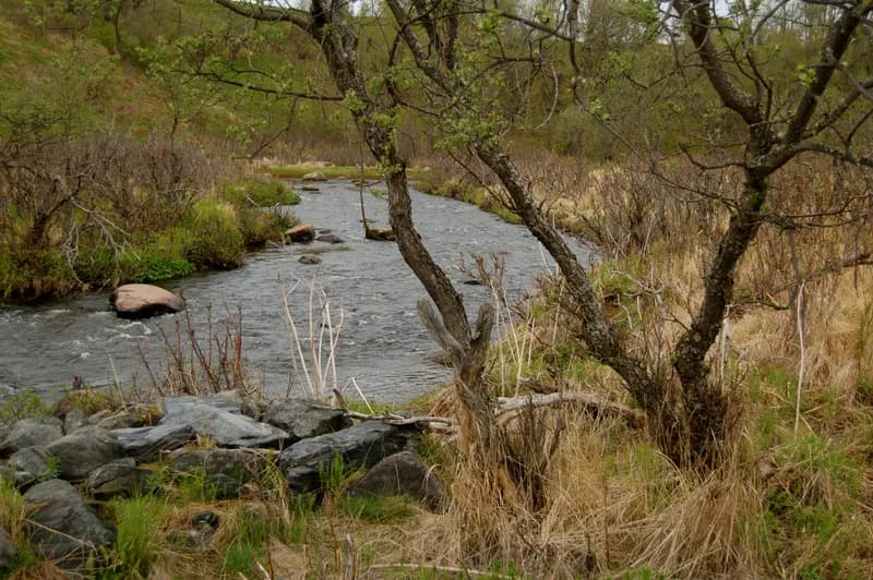
  • The clear Ninilchik River running over rocks past a leaning willow and dry grassSteelhead / salmon water
    Photo credit

    The Ninilchik River at Ninilchik, Alaska, in June 2011. Photo: Brian, CC BY 2.0, via Wikimedia Commons

    Ninilchik River

    Alaska · about 17 mi

    Rainbow trout & steelhead

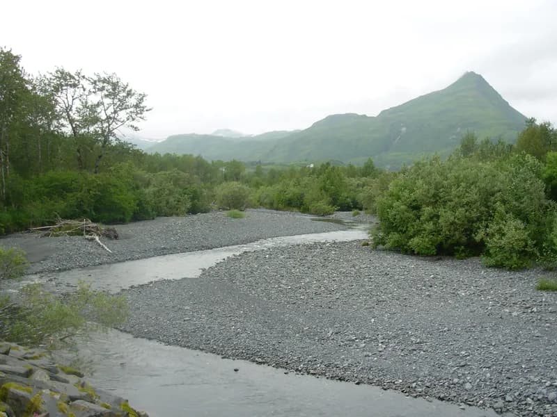
  • The shallow Russian River braiding over a wide gravel bar below a green mountainSteelhead / salmon water
    Photo credit

    The Russian River, Kenai Peninsula, Alaska. Photo: Ken Curtis, CC BY-SA 2.0, via Wikimedia Commons

    Russian River

    Alaska · about 43 mi

    Coho salmon & sockeye salmon

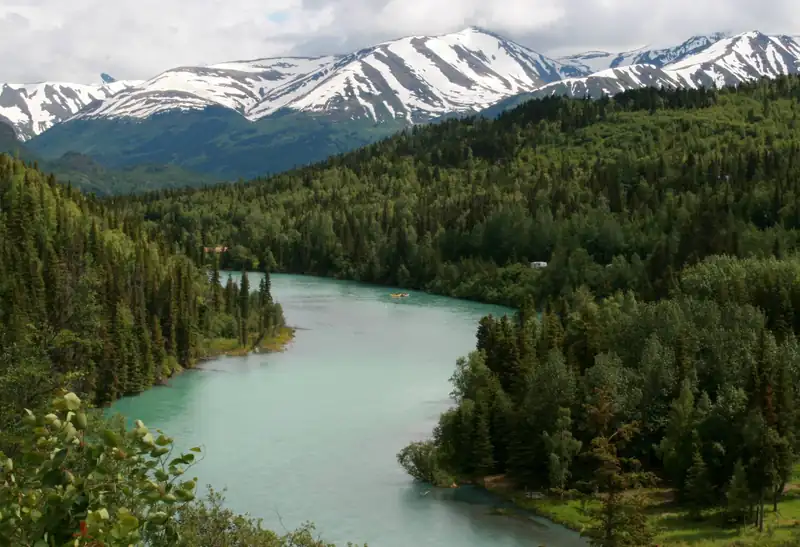
  • The glacial-turquoise Kenai River curving through spruce forest below snowy peaks near Cooper LandingFly-fishing only
    Photo credit

    The Kenai River near Cooper Landing, Alaska. Photo: Frank K., CC BY 2.0, via Wikimedia Commons

    Kenai River

    Alaska · about 51 mi

    Rainbow trout, chinook salmon & coho salmon

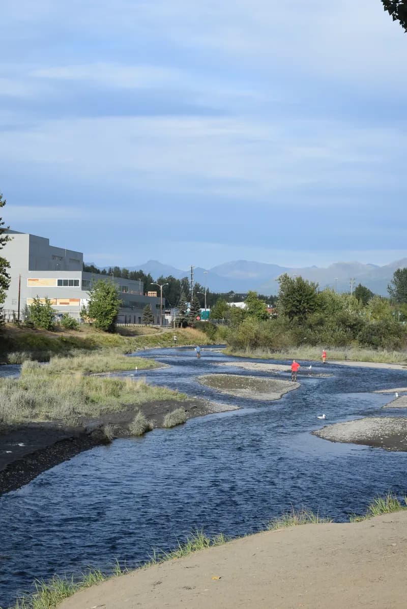
  • Anglers in the shallow braided channels of Ship Creek beside industrial buildings, with the Chugach Mountains beyondCatch and releaseRepresentative photo · not Deep Creek
    Photo credit

    Fishing on Ship Creek near downtown Anchorage, Alaska, looking upstream toward the old power plant. Photo: Haydn Blackey, CC BY-SA 2.0, via Wikimedia Commons Not Deep Creek.

    Deep Creek

    Alaska · about 23 mi

    Rainbow trout & steelhead

  • The calm Eagle River bending between golden autumn grass and spruce below forested slopesFly-fishing onlyRepresentative photo · not Moose River
    Photo credit

    The Eagle River at the Eagle River Nature Center, Chugach State Park, Municipality of Anchorage, Alaska. Photo: Diego Delso, CC BY-SA 4.0, via Wikimedia Commons Not Moose River.

    Moose River

    Alaska · about 33 mi

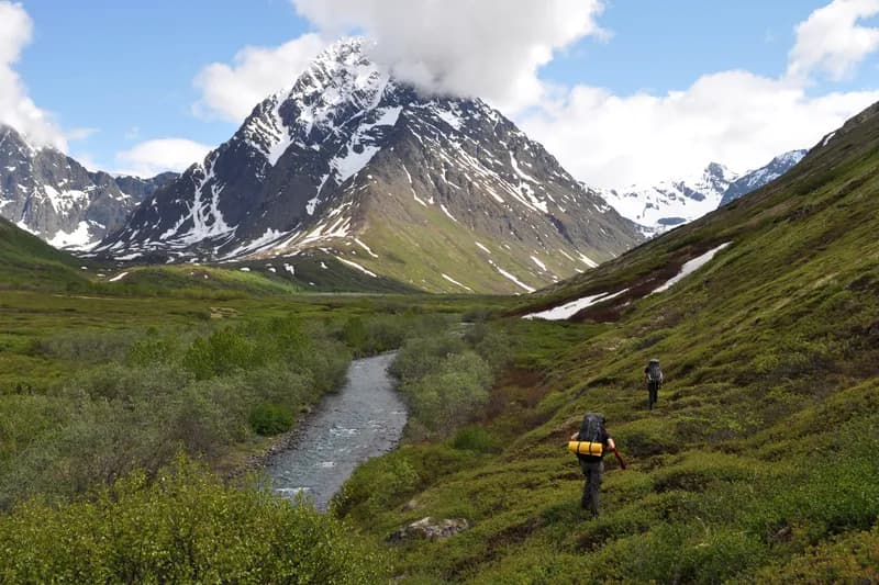
  • Two hikers walking the green upper Peters Creek valley below jagged, snow-streaked Mount RumbleCatch and releaseRepresentative photo · not Stariski Creek
    Photo credit

    Hikers in the upper Peters Creek valley below Mount Rumble, Chugach State Park, Alaska. Photo: Paxson Woelber, CC BY-SA 3.0, via Wikimedia Commons Not Stariski Creek.

    Stariski Creek

    Alaska · about 31 mi

    Rainbow trout & steelhead

Regulations

About this

Seasons, limits, special regulations and closures for each reach are on the agency pages below. Read them before you go.

2 official designations

Each comes from the agency's own published list; where the list names a reach it is quoted. A designation applies to the listed reach, not necessarily the whole water. Listed in the finder under trout, salmon & steelhead.

The water on the map

About this

Measured from the NHDPlus High Resolution (flowlines and waterbodies) (U.S. Geological Survey, read 2026-11-04) for this water’s own mapped feature. Rounded figures; they describe the channel, not today’s conditions.

Length
44.6 mi
Drains
841 sq mi
Drop
112 ft · 2.5 ft/mi
Watershed
Lower Kenai Peninsula

Public land along it

About this

Areas the Protected Areas Database of the United States (PAD-US), public access (U.S. Geological Survey, Gap Analysis Project, read 2026-11-05) lists as owned or held in easement and open to the public, crossed by the mapped channel. Boundaries are mapped, not surveyed. Nothing on this page grants or implies access: check the agency map, posted signs and landowner permission before you fish.

4.5 of 44.1 mi on public land

  • Kenai National Wildlife RefugeU.S. Fish and Wildlife Service · 4.5 mi · restricted

Nothing on this page grants or implies access.

Guides and shops near Kasilof River

About this

Listings marked Unclaimed are built from open map records and the business's own website: confirm licensing, rates, dates and hours directly.

Guides

1 shop nearby

How these are chosen

Guides whose own website names this water come first, nearest first. After them, fly-focused guides within 40 miles whose website does not name it. Distances are straight-line.

Shops: fly shops first. A distance is shown when the shop’s website gives its location (within 60 miles); otherwise the shop is in one of the towns within 25 miles of the water.

Guide and shop listings come from the Legendary directories.

Species and hatches

About this

The species the agency lists here; presence varies by reach and season.

Listed by the state agency

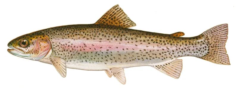
  • Illustration of a rainbow trout in side view: olive back with small black spots and a pink band along the side

    Rainbow trout

    Species guide

    Photo credit

    Rainbow trout (Oncorhynchus mykiss), illustration by Duane Raver for the U.S. Fish and Wildlife Service. Photo: Duane Raver, U.S. Fish and Wildlife Service, public domain, via Wikimedia Commons

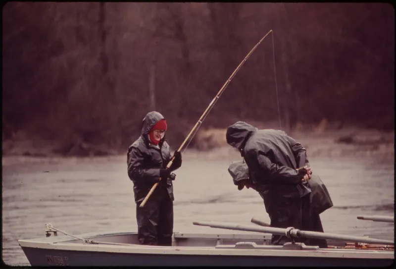
  • Two anglers in rain gear standing in a boat on a grey river, one holding a long rod

    Steelhead

    Species guide

    Photo credit

    Winter steelhead fishing on the Skagit River, Washington (Doug Wilson, U.S. National Archives and Records Administration). Photo: Doug Wilson, public domain, via Wikimedia Commons

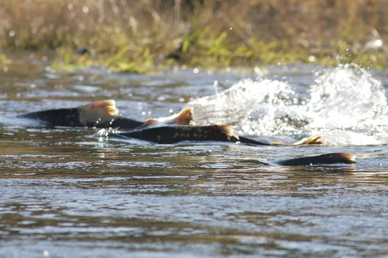
  • Several red-backed Chinook salmon splashing upstream through shallow, fast water

    Chinook salmon

    Species guide

    Photo credit

    Chinook salmon moving upstream in the lower Tuolumne River, California (Dan Cook, U.S. Fish and Wildlife Service). Photo: Dan Cook (USFWS), public domain, via Wikimedia Commons

Kenai Peninsula: Soldotna & the Kenai

About this

Soldotna is the Kenai Peninsula town where the Sterling Highway crosses the lower Kenai River; the Kasilof River reaches Cook Inlet to the south, and upstream the Kenai runs out of Skilak Lake and, above it, past Cooper Landing, where the Russian River joins it.

Destination hub · 11 mi away in a straight line
Fish these abroad

About this

Matched on the fish the agencies list for both waters first, then the same water type, an official designation or flagship listing on both, and a similar mapped size where USGS hydrography covers both.

At most two waters per country. A shared fish is a listing, not a promise: presence varies by reach and season.

Like the Kasilof River? Same fish, overseas.

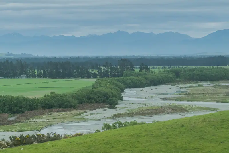
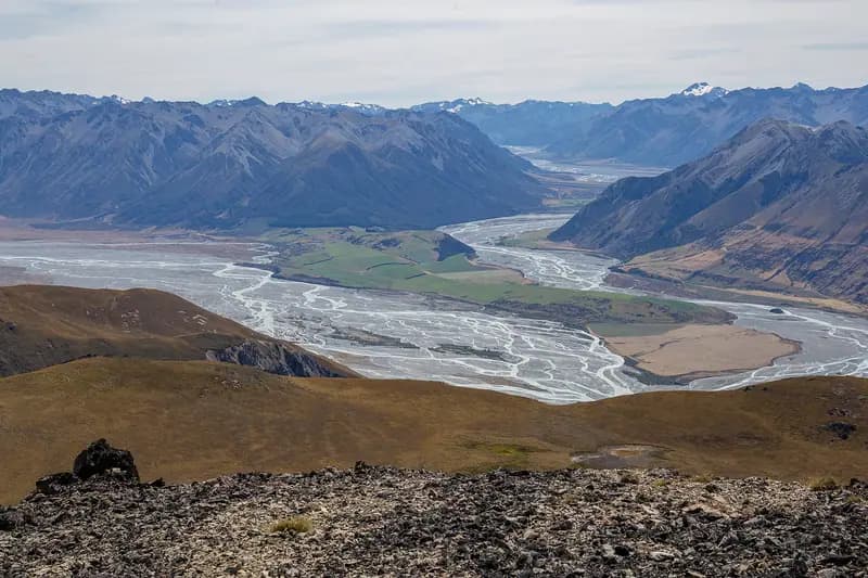
  • The braided Rakaia River spreading across a wide valley floor between mountain rangesFlagship water
    Photo credit

    The Rakaia River where the Wilberforce joins it, Canterbury. Photo: Michal Klajban, CC BY-SA 4.0, via Wikimedia Commons

    Rakaia River

    Canterbury, New Zealand

    Same fish: rainbow trout & chinook salmon · also a freestone river

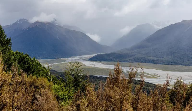
  • The braided Waimakariri River in a wide valley under cloud-capped mountainsFlagship water
    Photo credit

    The Waimakariri River from the Cass-Lagoon Saddle Track, Craigieburn Forest Park. Photo: Michal Klajban, CC BY-SA 4.0, via Wikimedia Commons

    Waimakariri River

    Canterbury, New Zealand

    Same fish: rainbow trout & chinook salmon · also a freestone river

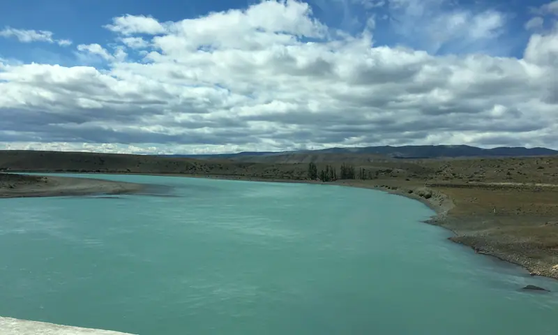
  • The wide milky-turquoise Santa Cruz River between low, dry Patagonian banksFreestone river
    Photo credit

    The Santa Cruz River from National Route 40, downstream of Lago Argentino. Photo: Fredlyfish4, CC BY-SA 4.0, cropped, via Wikimedia Commons

    Río Santa Cruz

    Santa Cruz, Argentina

    Same fish: steelhead & chinook salmon · also a freestone river

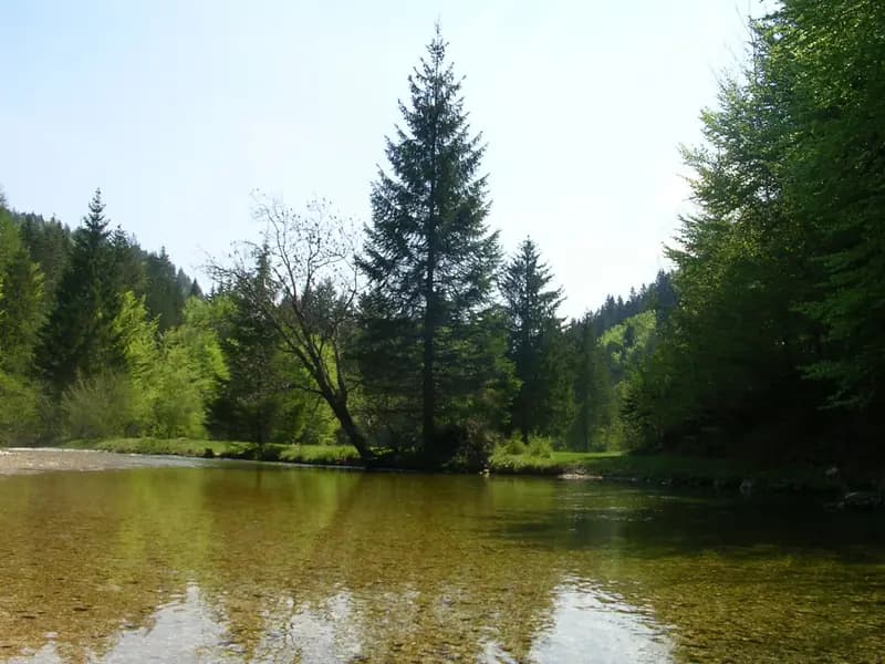
  • The clear Radovna pooling below a spruce on a small island, beech forest aroundFreestone river
    Photo credit

    The Radovna. Photo: Mihael Simonič, CC BY-SA 3.0, via Wikimedia Commons

    Radovna

    Gorenjska, Slovenia

    Same fish: rainbow trout · also a freestone river

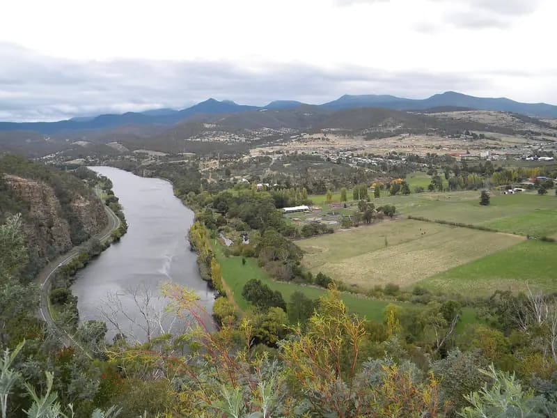
  • The Derwent winding through its valley past farmland, hills behindFreestone river
    Photo credit

    The Derwent River from the Pulpit Rock lookout, Tasmania. Photo: Bill, CC BY-SA 4.0, via Wikimedia Commons

    River Derwent

    Tasmania, Australia

    Same fish: rainbow trout · also a freestone river

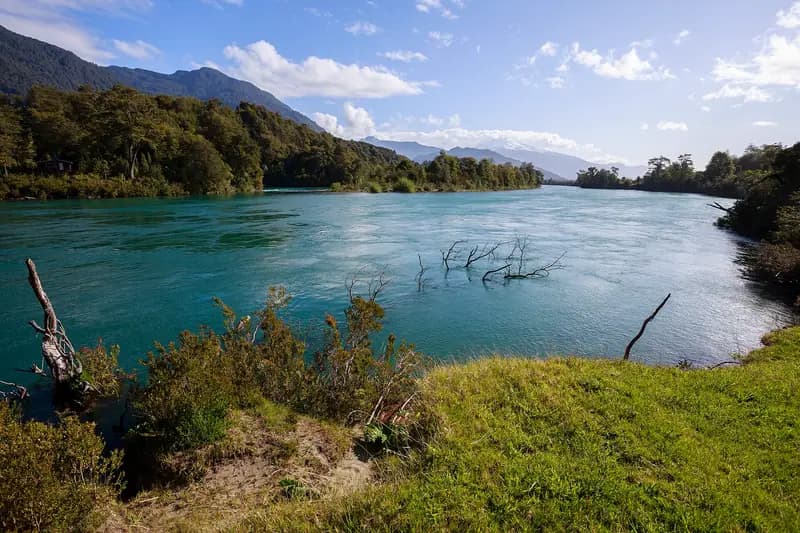
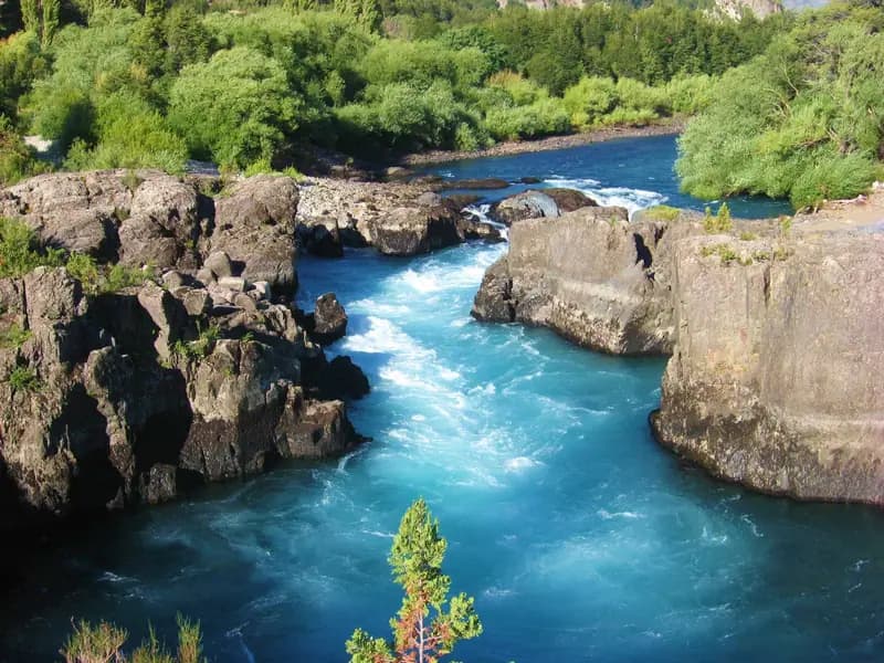
  • The broad blue-green Río Puelo between forested banks, mountains beyondFreestone riverRepresentative photo · not Río Petrohué
    Photo credit

    The Río Puelo at Las Gualas, Cochamó. Photo: Nicolás from seno de reloncaví, Chile, CC BY-SA 2.0, via Wikimedia Commons Not Río Petrohué.

    Río Petrohué

    Los Lagos, Chile

    Same fish: chinook salmon · also a freestone river

Fish it when it's winter here

Southern seasons open while ours close.

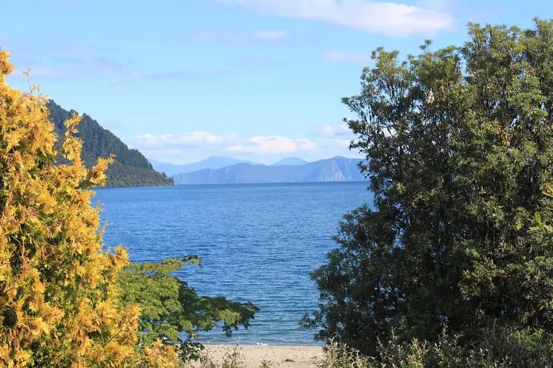
  • Lake Taupō's blue water framed by yellow kōwhai and bush, hills across the lakeFlagship water
    Photo credit

    Lake Taupō. Photo: Ériugena, CC BY-SA 4.0, via Wikimedia Commons

    Lake Taupō

    Waikato, New Zealand

    Season open all year · DOC

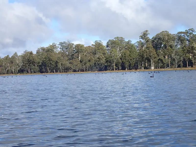
  • Penstock Lagoon's open water below a shoreline of tall eucalyptsFlagship water
    Photo credit

    Penstock Lagoon, Central Highlands, Tasmania. Photo: Mike Cline, CC BY-SA 4.0, via Wikimedia Commons

    Penstock Lagoon

    Tasmania, Australia

    Season open Aug–May · Inland Fisheries Service

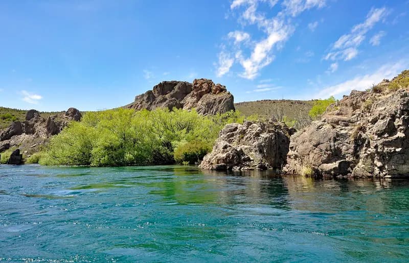
  • The clear turquoise Río Limay flowing past green willows and rock outcropsTailwater
    Photo credit

    The Río Limay, Argentina. Photo: P. Hughes, CC BY 4.0, via Wikimedia Commons

    Río Limay

    Río Negro, Argentina

    Season open Nov–May · Patagonian fishing regulation

  • The electric-blue Río Futaleufú rushing between dark rock walls and bushFreestone riverRepresentative photo · not Río Petrohué
    Photo credit

    The Río Futaleufú, Los Lagos. Photo: Kaaty.7, CC BY-SA 3.0, via Wikimedia Commons Not Río Petrohué.

    Río Petrohué

    Los Lagos, Chile

    Season open Nov–May · SERNAPESCA

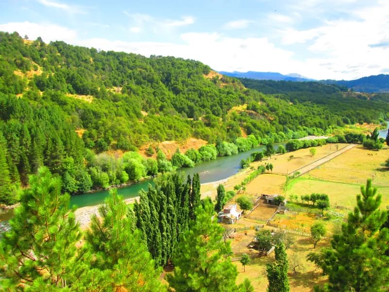
  • The Río Simpson running past the edge of Coyhaique under cliffs and hills in AysénLake or reservoirRepresentative photo · not Lago Llanquihue
    Photo credit

    The Río Simpson passing Coyhaique, Aysén. Photo: Manxuc, CC BY-SA 4.0, via Wikimedia Commons Not Lago Llanquihue.

    Lago Llanquihue

    Los Lagos, Chile

    Season open Nov–May · SERNAPESCA

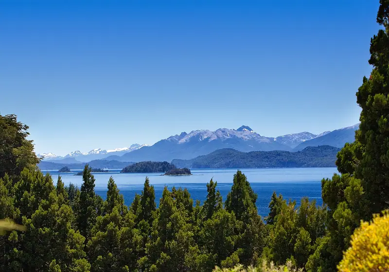
  • Lago Nahuel Huapi's blue water and wooded islands below snow-capped Andes, framed by conifersLake or reservoir
    Photo credit

    Lago Nahuel Huapi from Llao Llao. Photo: David, CC BY 2.0, via Wikimedia Commons

    Lago Nahuel Huapi

    Río Negro, Argentina

    Season open Oct–May · Patagonian fishing regulation

  • The braided Oreti River across green farmland, mountains on the horizonFlagship waterRepresentative photo · not Mataura River
    Photo credit

    The Oreti River near Lumsden, Southland. Photo: Krzysztof Golik, CC BY-SA 4.0, cropped, via Wikimedia Commons Not Mataura River.

    Mataura River

    Southland, New Zealand

    Season open Oct–Apr · Fish & Game NZ

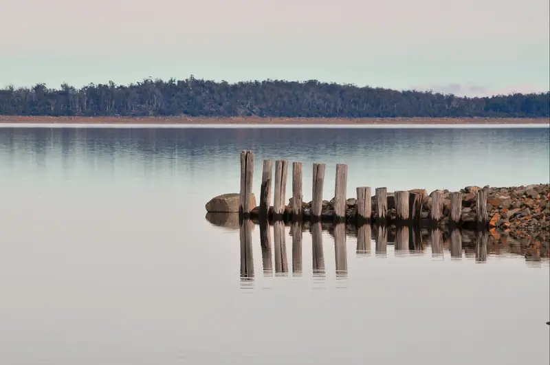
  • Old timber pilings reflected in the still water of Great Lake, a low wooded shore beyondFlagship water
    Photo credit

    Great Lake, Tasmania. Photo: Peripitus, CC BY-SA 3.0, via Wikimedia Commons

    Yingina / Great Lake

    Tasmania, Australia

    Season open all year · Inland Fisheries Service

Gear checklist

About this

A steelhead and salmon fly-fishing checklist: a switch or spey rod (or 9′6″ single-hand) in 7–8 weight, Skagit lines and sink tips, swing flies, studded boots and cold-weather layers, with estimated prices and where to buy.

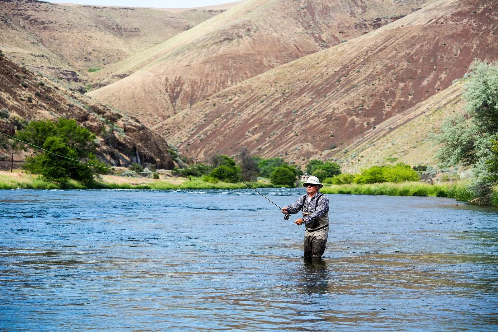
An angler wades the Deschutes River and casts, dry canyon slopes behind

Steelhead & salmon

11′–13′6″ two-hand rod, 7–8 weight, Skagit head + sink tips · Steelhead and Pacific salmon

Open the checklist
Videos for this water (5)

Watch: reading a trout stream

About this

Seams, shelves and soft water, shown on real rivers.

Public YouTube videos from established channels, chosen by us to support this page. Not sponsored; the creators are not affiliated with Legendary Fly Gear.

  • How I Learned to Read Water (Fly Fishing)Embedded from YouTube · Mad River Outfitters · not affiliated with Legendary Fly Gear. Watch on YouTube
  • How To Read The Water with Tom RosenbauerEmbedded from YouTube · The New Fly Fisher · not affiliated with Legendary Fly Gear. Watch on YouTube
  • Reading the Water to Successfully Locate TroutEmbedded from YouTube · Orvis Guide to Fly Fishing · not affiliated with Legendary Fly Gear. Watch on YouTube

Not sponsored All videos on reading water

Watch: nymphing basics

About this

Indicator rigs, depth and detecting the take.

Public YouTube videos from established channels, chosen by us to support this page. Not sponsored; the creators are not affiliated with Legendary Fly Gear.

  • 90° Nymph RigEmbedded from YouTube · Huge Fly Fisherman · not affiliated with Legendary Fly Gear. Watch on YouTube
  • Casting with an Indicator & Better Nymphing TechniquesEmbedded from YouTube · The New Fly Fisher · not affiliated with Legendary Fly Gear. Watch on YouTube

Not sponsored All videos on nymphing

Fish Tales

About this

Trip stories anglers chose to share publicly and tagged with Kasilof River.

No stories from here yet.

Sources for this page

Not a statement of access, fish presence or conditions.

Something wrong?

All 14 sources and dates

A water page organises discovery. It does not assert public access, legal access, current fish presence, guide availability or fishing conditions.

Flows, gauge statistics and flood stages come from USGS and the National Weather Service when the page is shown. Regulations, stocking, species and season statements link to the agency that publishes them; this page copies only the species names and the quoted sentences. Guide and shop listings come from the Legendary directories. Position: the USGS gauge KASILOF R NR KASILOF AK. Water type is our own classification.