
Goose Creek

Type
Freestone river, Wyoming (West)
Designation
Red Ribbon
USGS gauges
None listed
Guides
2 nearby
Shops
None listed

Today on the Goose Creek

No live reading for this water
Why there is no reading

Nothing live is published for this water, so there is no reading or verdict today. The readings section below says what we checked.

Regulations & access Guides & shops

Goose Creek is a freestone river in Wyoming, listed as Red Ribbon by Wyoming Game and Fish Department.

More about the Goose Creek

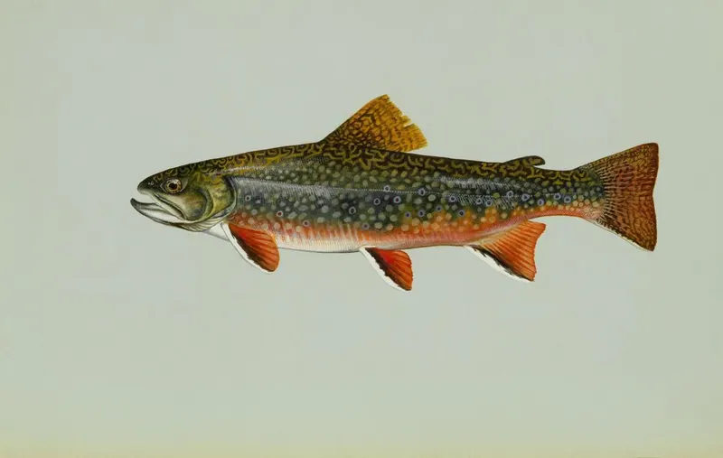
Wyoming Game and Fish Department lists 1 species. 2 guides nearby are listed here.

Updated · Sources: Red Ribbon streams (WGFD stream classification: Red, 300-599 lbs trout/mile), Red Ribbon streams (WGFD stream classification: Red, 300-599 lbs trout/mile)

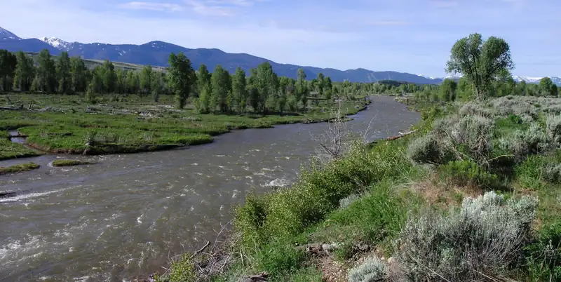
Representative photograph of similar water; not a photograph of this place.
Representative photograph, not this water.
Where it is

Goose Creek is a freestone river in Wyoming. Wyoming has 3 waters named Goose Creek in the USGS Geographic Names Information System; this page is the stream whose mouth is in Laramie County, the one the agency list names.

No real-time gauge

No real-time gauge on this water. We found no active USGS gauge on Goose Creek or on its stream system within about 25 miles, and no dam operator publishes data for it. A missing gauge says nothing about the water itself. Find the gauges nearest Goose Creek

About these readings

Nothing live is published for this water; the note below says what we checked.

Where to fish

About this

Start from the agency's public access map. Nothing on this page grants or implies access: check the agency map, posted signs and landowner permission before you fish.

Nothing on this page grants or implies access.

Restrooms near Goose Creek

Restrooms near Goose Creek

Restrooms within 2 miles of Goose Creek in a straight line, nearest first, with what anglers found when they went. The map says a restroom is there, not whether it is clean or open today.

No restroom mapped within 2 mi yet — add one you know.

Campgrounds, fishing access sites and boat ramps often have one that isn't on the map yet.

Restroom locations and map details: © OpenStreetMap contributors, Open Database License, read Oct 24, 2026. Ratings, answers and photos are members' own; who shared them is never shown, and every photo is reviewed before it appears. Visits older than 18 months no longer count. Distances are straight-line miles, not driving. Nothing here grants access to private land. Community guidelines.

More water near Goose Creek

  • The North Platte River winding in a wide loop through a green valley near Glendo, WyomingRed RibbonRepresentative photo · not Middle Crow Creek
    Photo credit

    The North Platte River at Glendo, Wyoming (below Glendo Reservoir, not the Grey Reef or Miracle Mile reaches). Photo: Tony Webster, CC BY 2.0, via Wikimedia Commons Not Middle Crow Creek.

    Middle Crow Creek

    Wyoming · about 12 mi

    Brown & brook trout

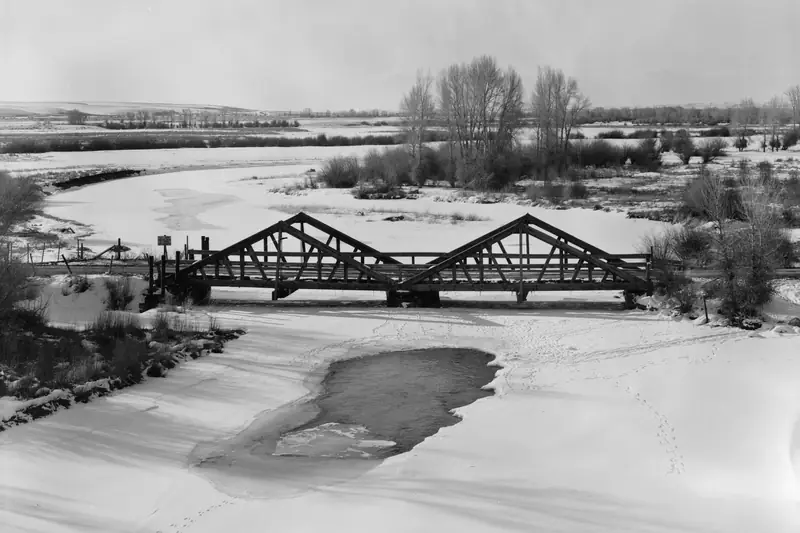
  • The New Fork River running open through snow beneath a two-span timber truss bridge, with bare cottonwoods behindRed RibbonRepresentative photo · not Laramie River
    Photo credit

    The New Fork River at the DDZ Bridge near Boulder, Wyoming, in winter. Photo: Clayton B. Fraser, public domain, cropped, via Wikimedia Commons Not Laramie River.

    Laramie River

    Wyoming · about 33 mi

    Brown trout

  • The Wind River valley above Dubois with red badlands and mountainsRed RibbonRepresentative photo · not Mule Creek
    Photo credit

    The Wind River valley above Dubois, Wyoming. Photo: Chris Light, CC BY-SA 4.0, via Wikimedia Commons Not Mule Creek.

    Mule Creek

    Wyoming · about 48 mi

    Brook trout

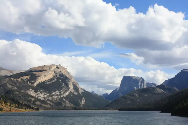
  • Squaretop Mountain and White Rock above the lower Green River Lake in the Bridger WildernessRed RibbonRepresentative photo · not Little Laramie River
    Photo credit

    Lower Green River Lake below Squaretop Mountain, at the head of the Green River. Photo: USDA Forest Service, Intermountain Region, public domain, via Wikimedia Commons Not Little Laramie River.

    Little Laramie River

    Wyoming · about 49 mi

    Brown trout

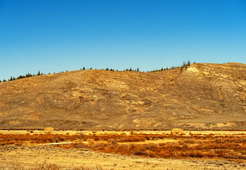
  • Brown autumn grass and a dry hillside in the open upper Hoback River valley near Bondurant, WyomingRed RibbonRepresentative photo · not North Sybille Creek
    Photo credit

    The upper Hoback River valley at Bondurant, Wyoming, in autumn (the river itself is out of frame). Photo: Tony Webster, CC BY-SA 2.0, via Flickr Not North Sybille Creek.

    North Sybille Creek

    Wyoming · about 50 mi

    Brown trout

  • The Gros Ventre River running through sagebrush flats and cottonwoods in Jackson HoleBlue RibbonRepresentative photo · not Sybille Creek
    Photo credit

    The Gros Ventre River in Jackson Hole, Wyoming. Photo: Daniel Mayer, CC BY-SA 3.0, via Wikimedia Commons Not Sybille Creek.

    Sybille Creek

    Wyoming · about 59 mi

    Brown trout

Regulations

About this

Seasons, limits, special regulations and closures for each reach are on the agency pages below. Read them before you go.

Official designation: Red Ribbon

Each comes from the agency's own published list; where the list names a reach it is quoted. A designation applies to the listed reach, not necessarily the whole water. Listed in the finder under trout.

The water on the map

About this

Measured from the NHDPlus High Resolution (flowlines and waterbodies) (U.S. Geological Survey, read 2026-11-05) for this water’s own mapped feature. Rounded figures; they describe the channel, not today’s conditions.

Whole Goose Creek, not only this reach.

Length
20.9 mi (19.7 in WY)
Drains
25.9 sq mi
Drop
1,501 ft · 71.9 ft/mi
Flows into
Lone Tree Creek
Watershed
Lone Tree-Owl

Public land along it

About this

Areas the Protected Areas Database of the United States (PAD-US), public access (U.S. Geological Survey, Gap Analysis Project, read 2026-11-05) lists as owned or held in easement and open to the public, crossed by the mapped channel of the whole Goose Creek. Boundaries are mapped, not surveyed. Nothing on this page grants or implies access: check the agency map, posted signs and landowner permission before you fish.

3.8 of 19.7 mi on public land

  • State Lands 1111127274State Land Board · 1.4 mi
  • State Lands 1111128015State Land Board · 1.4 mi
  • State Lands 1111127365State Land Board · 0.5 mi
  • State Lands 1111127367State Land Board · 0.5 mi

Nothing on this page grants or implies access.

Guides and shops near Goose Creek

About this

Listings marked Unclaimed are built from open map records and the business's own website: confirm licensing, rates, dates and hours directly.

Guides

Shops nearby

No shop nearby yet.

How these are chosen

Guides whose own website names this water come first, nearest first. After them, fly-focused guides within 40 miles whose website does not name it. Distances are straight-line.

Shops: fly shops first. A distance is shown when the shop’s website gives its location (within 60 miles); otherwise the shop is in one of the towns within 25 miles of the water.

Guide and shop listings come from the Legendary directories.

Species and hatches

About this

The species the agency lists here; presence varies by reach and season.

Listed by the state agency

When the bugs come off

Regional hatch months: Northern Rockies
About this chart

5 hatches charted for the region, not measured on this water. From Montana Fish, Wildlife & Parks.

  1. January: no charted hatch
  2. February: no charted hatch
  3. March: no charted hatch
  4. April: no charted hatch
  5. May: 3 charted hatches
  6. June: 2 charted hatches
  7. July: 2 charted hatches
  8. August: 1 charted hatch
  9. September: 1 charted hatch
  10. October: no charted hatch
  11. November: no charted hatch
  12. December: no charted hatch

Mother's Day caddis (Grannom) (May) · Salmonfly (May to June) · Salmonfly (May to July) · Salmonfly (July) · Trico (August to September)

Plan a trip here

About this

None of our destination hubs is within 40 miles in a straight line. The trip planner builds a trip around the water itself: the guides and shops listed within 40 miles of it, its gauges and its nearest towns and airports.

No hub within 40 miles
Fish these abroad

About this

Matched on the fish the agencies list for both waters first, then the same water type, an official designation or flagship listing on both, and a similar mapped size where USGS hydrography covers both.

At most two waters per country. A shared fish is a listing, not a promise: presence varies by reach and season.

Like the Goose Creek? Same fish, overseas.

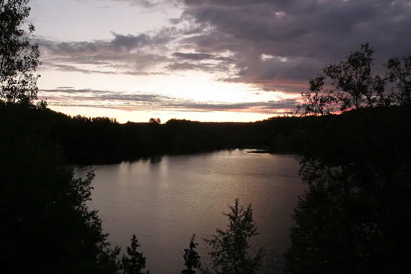
  • Daybreak light over the calm, dark Nipigon River between wooded banksFlagship water
    Photo credit

    Daybreak on the Nipigon River. Photo: Sharon Mollerus, CC BY 2.0, via Wikimedia Commons

    Nipigon River

    Ontario, Canada

    Same fish: brook trout · also a freestone river

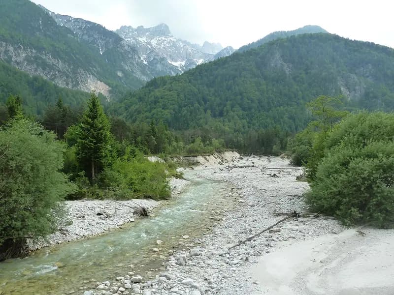
  • The Sava Dolinka braiding over pale gravel between willows and spruce below the Julian AlpsFreestone river
    Photo credit

    The Sava Dolinka below the confluence with Beli potok. Photo: Savinjc, CC BY-SA 4.0, via Wikimedia Commons

    Sava Dolinka

    Gorenjska, Slovenia

    Same fish: brook trout · also a freestone river

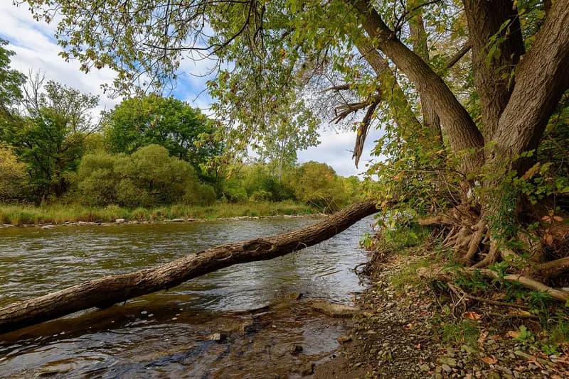
  • The Credit River running over a shallow bed under a leaning tree at StreetsvilleFreestone river
    Photo credit

    The Credit River at Streetsville. Photo: Mustang Joe, CC0, via Wikimedia Commons

    Credit River

    Ontario, Canada

    Same fish: brook trout · also a freestone river

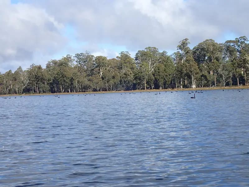
  • Penstock Lagoon's open water below a shoreline of tall eucalyptsLake or reservoirRepresentative photo · not Clarence Lagoon
    Photo credit

    Penstock Lagoon, Central Highlands, Tasmania. Photo: Mike Cline, CC BY-SA 4.0, via Wikimedia Commons Not Clarence Lagoon.

    Clarence Lagoon

    Tasmania, Australia

    Same fish: brook trout

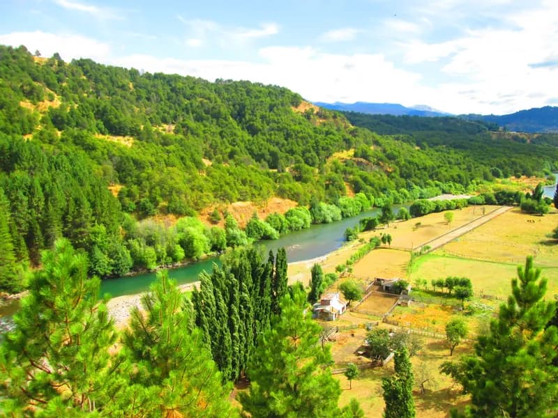
  • The Río Simpson running past the edge of Coyhaique under cliffs and hills in AysénLake or reservoirRepresentative photo · not Laguna Parrillar
    Photo credit

    The Río Simpson passing Coyhaique, Aysén. Photo: Manxuc, CC BY-SA 4.0, via Wikimedia Commons Not Laguna Parrillar.

    Laguna Parrillar

    Magallanes, Chile

    Same fish: brook trout

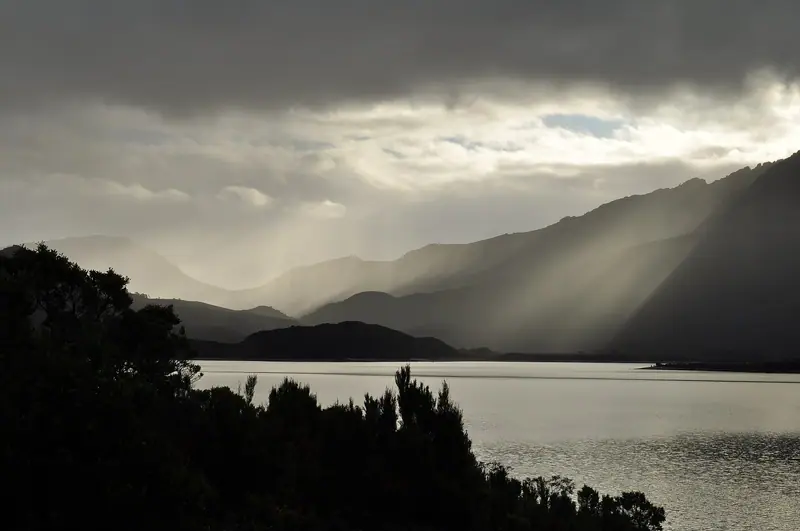
  • Late-afternoon light breaking through cloud over Lake Burbury and the West Coast RangeLake or reservoirRepresentative photo · not Lake Plimsoll
    Photo credit

    Lake Burbury in the late afternoon, from the Lyell Highway. Photo: WikiWookie, CC BY-SA 3.0, via Wikimedia Commons Not Lake Plimsoll.

    Lake Plimsoll

    Tasmania, Australia

    Same fish: brook trout

Fish it when it's winter here

Southern seasons open while ours close.

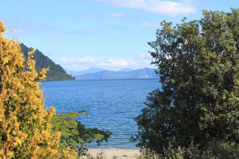
  • Lake Taupō's blue water framed by yellow kōwhai and bush, hills across the lakeFlagship water
    Photo credit

    Lake Taupō. Photo: Ériugena, CC BY-SA 4.0, via Wikimedia Commons

    Lake Taupō

    Waikato, New Zealand

    Season open all year · DOC

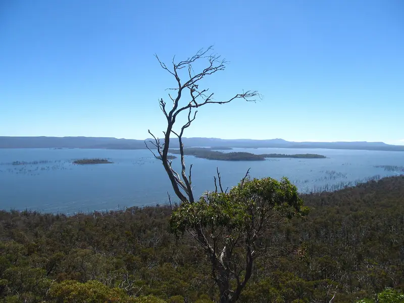
  • Arthurs Lake's blue water and low islands beyond a dead tree and highland scrubFlagship waterRepresentative photo · not Penstock Lagoon
    Photo credit

    Arthurs Lake, Tasmania. Photo: Lcham67, CC0, via Wikimedia Commons Not Penstock Lagoon.

    Penstock Lagoon

    Tasmania, Australia

    Season open Aug–May · Inland Fisheries Service

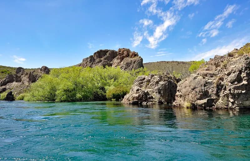
  • The clear turquoise Río Limay flowing past green willows and rock outcropsTailwater
    Photo credit

    The Río Limay, Argentina. Photo: P. Hughes, CC BY 4.0, via Wikimedia Commons

    Río Limay

    Río Negro, Argentina

    Season open Nov–May · Patagonian fishing regulation

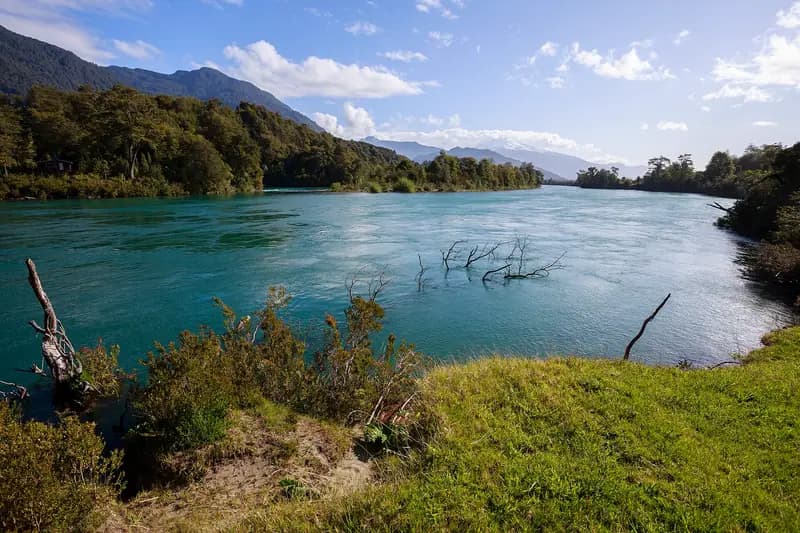
  • The broad blue-green Río Puelo between forested banks, mountains beyondFreestone riverRepresentative photo · not Río Petrohué
    Photo credit

    The Río Puelo at Las Gualas, Cochamó. Photo: Nicolás from seno de reloncaví, Chile, CC BY-SA 2.0, via Wikimedia Commons Not Río Petrohué.

    Río Petrohué

    Los Lagos, Chile

    Season open Nov–May · SERNAPESCA

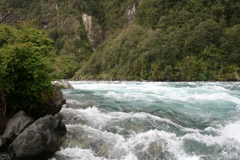
  • The Río Petrohué rushing green between black volcanic rock and forestLake or reservoirRepresentative photo · not Lago Llanquihue
    Photo credit

    The Río Petrohué near Puerto Varas, Los Lagos. Photo: Diego Delso, CC BY-SA 3.0, via Wikimedia Commons Not Lago Llanquihue.

    Lago Llanquihue

    Los Lagos, Chile

    Season open Nov–May · SERNAPESCA

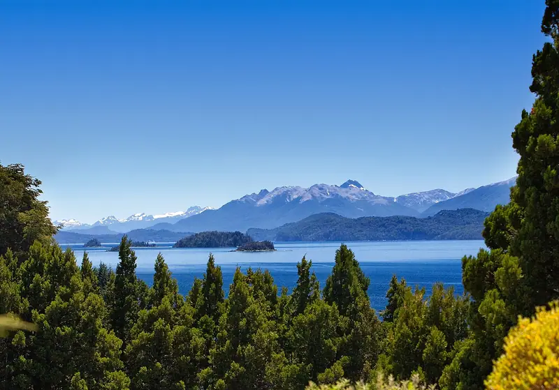
  • Lago Nahuel Huapi's blue water and wooded islands below snow-capped Andes, framed by conifersLake or reservoir
    Photo credit

    Lago Nahuel Huapi from Llao Llao. Photo: David, CC BY 2.0, via Wikimedia Commons

    Lago Nahuel Huapi

    Río Negro, Argentina

    Season open Oct–May · Patagonian fishing regulation

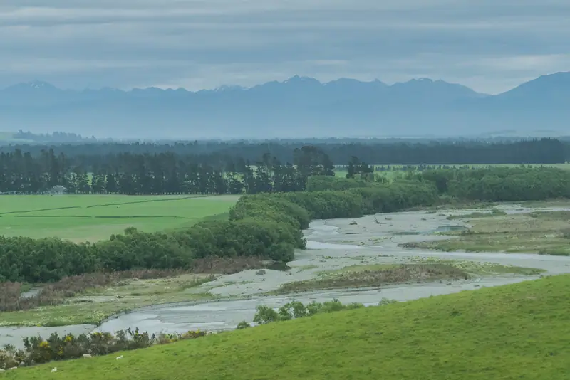
  • The braided Oreti River across green farmland, mountains on the horizonFlagship waterRepresentative photo · not Mataura River
    Photo credit

    The Oreti River near Lumsden, Southland. Photo: Krzysztof Golik, CC BY-SA 4.0, cropped, via Wikimedia Commons Not Mataura River.

    Mataura River

    Southland, New Zealand

    Season open Oct–Apr · Fish & Game NZ

  • Old timber pilings reflected in the still water of Great Lake, a low wooded shore beyondFlagship water
    Photo credit

    Great Lake, Tasmania. Photo: Peripitus, CC BY-SA 3.0, via Wikimedia Commons

    Yingina / Great Lake

    Tasmania, Australia

    Season open all year · Inland Fisheries Service

Gear checklist

About this

A wade-fishing checklist for big western trout rivers: a 9 ft 5–6 weight outfit, nymph, dry and streamer setups, waders, boots and a wading staff, with estimated prices by tier and where to buy.

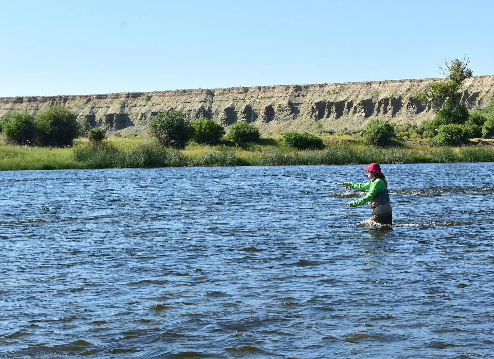
A woman in waders and a sun hat wades a broad river and casts, bluffs on the far bank

Big western rivers (wade fishing)

9′ rod, 5–6 weight, floating line · Rainbow and brown trout, whitefish

Open the checklist
Videos for this water (5)

Watch: reading a trout stream

About this

Seams, shelves and soft water, shown on real rivers.

Public YouTube videos from established channels, chosen by us to support this page. Not sponsored; the creators are not affiliated with Legendary Fly Gear.

  • How I Learned to Read Water (Fly Fishing)Embedded from YouTube · Mad River Outfitters · not affiliated with Legendary Fly Gear. Watch on YouTube
  • How To Read The Water with Tom RosenbauerEmbedded from YouTube · The New Fly Fisher · not affiliated with Legendary Fly Gear. Watch on YouTube
  • Reading the Water to Successfully Locate TroutEmbedded from YouTube · Orvis Guide to Fly Fishing · not affiliated with Legendary Fly Gear. Watch on YouTube

Not sponsored All videos on reading water

Watch: nymphing basics

About this

Indicator rigs, depth and detecting the take.

Public YouTube videos from established channels, chosen by us to support this page. Not sponsored; the creators are not affiliated with Legendary Fly Gear.

  • 90° Nymph RigEmbedded from YouTube · Huge Fly Fisherman · not affiliated with Legendary Fly Gear. Watch on YouTube
  • Casting with an Indicator & Better Nymphing TechniquesEmbedded from YouTube · The New Fly Fisher · not affiliated with Legendary Fly Gear. Watch on YouTube

Not sponsored All videos on nymphing

Fish Tales

About this

Trip stories anglers chose to share publicly and tagged with Goose Creek.

No stories from here yet.

Sources for this page

Not a statement of access, fish presence or conditions.

Something wrong?

All 8 sources and dates

A water page organises discovery. It does not assert public access, legal access, current fish presence, guide availability or fishing conditions.

Flows, gauge statistics and flood stages come from USGS and the National Weather Service when the page is shown. Regulations, stocking, species and season statements link to the agency that publishes them; this page copies only the species names and the quoted sentences. Guide and shop listings come from the Legendary directories. Position: a point on the mapped channel of “Goose Creek”, halfway along its length in Wyoming, from the USGS high-resolution hydrography (NHDPlus HR), read 5 Nov 2026. It marks the water, not a particular access or reach. Water type is our own classification.