
Little Pine Creek

Type
Freestone river, Pennsylvania (East)
Designation
Delayed Harvest · Keystone Select
USGS gauges
None on it; nearest shown
Guides
2 nearby
Shops
None listed

Today on the Little Pine Creek

Reading the gauge…

Regulations & access Guides & shops

Little Pine Creek is a freestone river in Pennsylvania, listed as Delayed Harvest by Pennsylvania Fish and Boat Commission.

More about the Little Pine Creek

The nearest USGS gauge on the same stream system is shown, labelled. 2 guides nearby are listed here.

Updated · Sources: Delayed Harvest Artificial Lures Only, USGS Water Data

Representative photograph of similar water; not a photograph of this place.
Representative photograph, not this water.
Where it is

Little Pine Creek is a freestone river in Pennsylvania. Pennsylvania has 4 waters named Little Pine Creek in the USGS Geographic Names Information System; this page is the stream whose mouth is in Lycoming County, the one the agency list names.

Nearest gauge (not on this water)
Reading the gauges…

Follow Little Pine Creek for flow alerts

Pick one of its USGS gauges and hear from us when the flow moves into or out of its usual range for the date, or crosses a flow you set. We check the public USGS reading every 2 hours and email only when it crosses, at most once every 6 hours. Flow alone is not a fishing forecast or a safety call.

Follow this water

Signed in: one step. Otherwise we email a confirmation link first. Every alert has one-click links to stop it.

Where to fish

About this

Start from the agency's public access map. Nothing on this page grants or implies access: check the agency map, posted signs and landowner permission before you fish.

Nothing on this page grants or implies access.

Little Pine Creek on the map

About this

Gauges, shops and guides within 40 miles

Map of Little Pine Creek: gauges, shops and guides

Map of Little Pine Creek with 1 USGS gauge.

Restrooms near Little Pine Creek

Restrooms near Little Pine Creek

Restrooms within 2 miles of Little Pine Creek in a straight line, nearest first, with what anglers found when they went. The map says a restroom is there, not whether it is clean or open today.

No restroom mapped within 2 mi yet — add one you know.

Campgrounds, fishing access sites and boat ramps often have one that isn't on the map yet.

Restroom locations and map details: © OpenStreetMap contributors, Open Database License, read Oct 24, 2026. Ratings, answers and photos are members' own; who shared them is never shown, and every photo is reviewed before it appears. Visits older than 18 months no longer count. Distances are straight-line miles, not driving. Nothing here grants access to private land. Community guidelines.

More water near Little Pine Creek

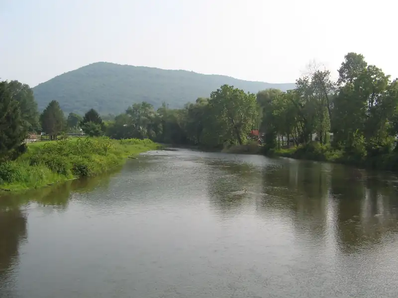
  • Fishing Creek in Clinton County, a broad, calm creek between trees with a hill behindClass A Wild TroutRepresentative photo · not English Run
    Photo credit

    Fishing Creek from PA Route 150, Clinton County, Pennsylvania. Photo: Ruhrfisch, CC BY-SA 3.0, via Wikimedia Commons Not English Run.

    English Run

    Pennsylvania · about 3 mi

    Brown & brook trout

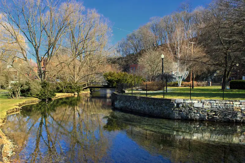
  • Spring Creek flowing through Talleyrand Park in Bellefonte, with willows and a stone wall on the bankDelayed HarvestRepresentative photo · not Pine Creek
    Photo credit

    Spring Creek in Talleyrand Park, Bellefonte, Pennsylvania. Photo: Nicholas A. Tonelli, CC BY 2.0, via Wikimedia Commons Not Pine Creek.

    Pine Creek

    Pennsylvania · about 10 mi

    Brown & brook trout

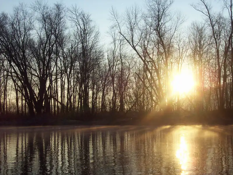
  • Sunrise through bare trees over a misty, still pool on Penns CreekCatch and releaseRepresentative photo · not Slate Run
    Photo credit

    Sunrise on Penns Creek, Union County, Pennsylvania. Photo: WiiWillieWiki, CC BY-SA 3.0, via Wikimedia Commons Not Slate Run.

    Slate Run

    Pennsylvania · about 12 mi

    Brown & brook trout

  • Aerial view of the town of Tyrone in a green valley between forested ridgesTrophy / quality trout waterRepresentative photo · not Cedar Run
    Photo credit

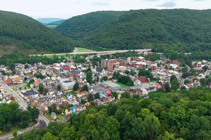
    Tyrone, Pennsylvania, from the air: Bald Eagle Creek meets the Little Juniata River in the town (the creek is not visible at this distance). Photo: Quintin Soloviev, CC BY 4.0, via Wikimedia Commons Not Cedar Run.

    Cedar Run

    Pennsylvania · about 15 mi

    Brown & brook trout

  • Black-and-white view of the Little Juniata River flowing under a steel truss bridge between wooded banksDelayed HarvestRepresentative photo · not Lycoming Creek
    Photo credit

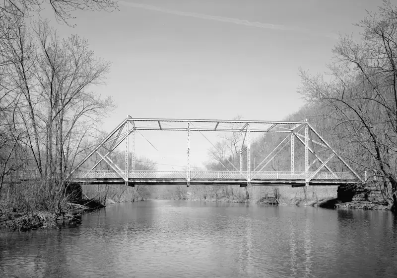
    The Little Juniata River at the 1898 Birmingham Bridge, near Birmingham, Pennsylvania (black-and-white survey photograph). Photo: Jet Lowe, public domain, via Wikimedia Commons Not Lycoming Creek.

    Lycoming Creek

    Pennsylvania · about 16 mi

  • The Allegheny River curving through wooded hills in Venango CountyCatch and releaseRepresentative photo · not Francis Branch
    Photo credit

    The Allegheny River in Venango County, Pennsylvania. Photo: Ken Lund from Reno, Nevada, USA, CC BY-SA 2.0, via Wikimedia Commons Not Francis Branch.

    Francis Branch

    Pennsylvania · about 17 mi

    Brown & brook trout

Regulations

About this

Seasons, limits, special regulations and closures for each reach are on the agency pages below. Read them before you go.

2 official designations

Each comes from the agency's own published list; where the list names a reach it is quoted. A designation applies to the listed reach, not necessarily the whole water. Listed in the finder under trout.

Public land along it

About this

Areas the Protected Areas Database of the United States (PAD-US), public access (U.S. Geological Survey, Gap Analysis Project, read 2026-11-04) lists as owned or held in easement and open to the public, crossed by the mapped channel. Boundaries are mapped, not surveyed. Nothing on this page grants or implies access: check the agency map, posted signs and landowner permission before you fish.

  • Little Pine State ParkState Park and Recreation
  • State Game Land 075State Fish and Wildlife

Nothing on this page grants or implies access.

Guides and shops near Little Pine Creek

About this

Listings marked Unclaimed are built from open map records and the business's own website: confirm licensing, rates, dates and hours directly.

Guides

  • Appalachian Fishing Guides LLC

    Lock Haven, PA · 20 mi

    Float trips · Wade trips · Madison & Penns

    • Unclaimed

    Nearby

  • The Feathered Hook

    Coburn, PA · 38 mi

    Euro nymphing · Beginners & lessons · Penns & Fishing

    • Unclaimed

    Nearby

Shops nearby

No shop nearby yet.

How these are chosen

Guides whose own website names this water come first, nearest first. After them, fly-focused guides within 40 miles whose website does not name it. Distances are straight-line.

Shops: fly shops first. A distance is shown when the shop’s website gives its location (within 60 miles); otherwise the shop is in one of the towns within 25 miles of the water.

Guide and shop listings come from the Legendary directories.

Species and hatches

About this

What 2 nearby guide websites mention: what guides advertise, not a survey or a promise of what you will catch.

Named on 2 nearby guide websites

  • Smallmouth bass2
  • Arctic grayling1
  • Brook trout1
  • Brown trout1
  • Musky1
  • Salmon1
  • Steelhead1
  • Trout1

When the bugs come off

Regional hatch months: Catskills and the Northeast
About this chart

8 hatches charted for the region, not measured on this water. From Pennsylvania Fish & Boat Commission.

  1. January: no charted hatch
  2. February: no charted hatch
  3. March: no charted hatch
  4. April: 3 charted hatches
  5. May: 2 charted hatches
  6. June: 1 charted hatch
  7. July: 1 charted hatch
  8. August: 1 charted hatch
  9. September: 2 charted hatches
  10. October: 1 charted hatch
  11. November: no charted hatch
  12. December: no charted hatch

Blue Quill (April) · Hendrickson (April) · Quill Gordon (April) · Green drake (May) · Mayflies (best hatches) (May) · Mayflies, stoneflies and caddisflies (June to September) · and 2 more on the chart

How we put this together

Named by guides nearby (within 40 miles), counted from the species each guide lists on its own site. No agency page we hold lists species for this water.

Plan a trip here

About this

None of our destination hubs is within 40 miles in a straight line. The trip planner builds a trip around the water itself: the guides and shops listed within 40 miles of it, its gauges and its nearest towns and airports.

No hub within 40 miles
Gear checklist

About this

A practical checklist for fly fishing small mountain trout streams: a short 3–4 weight rod, light line, a few buoyant dries and simple wet-wading gear, with estimated prices and where to buy.

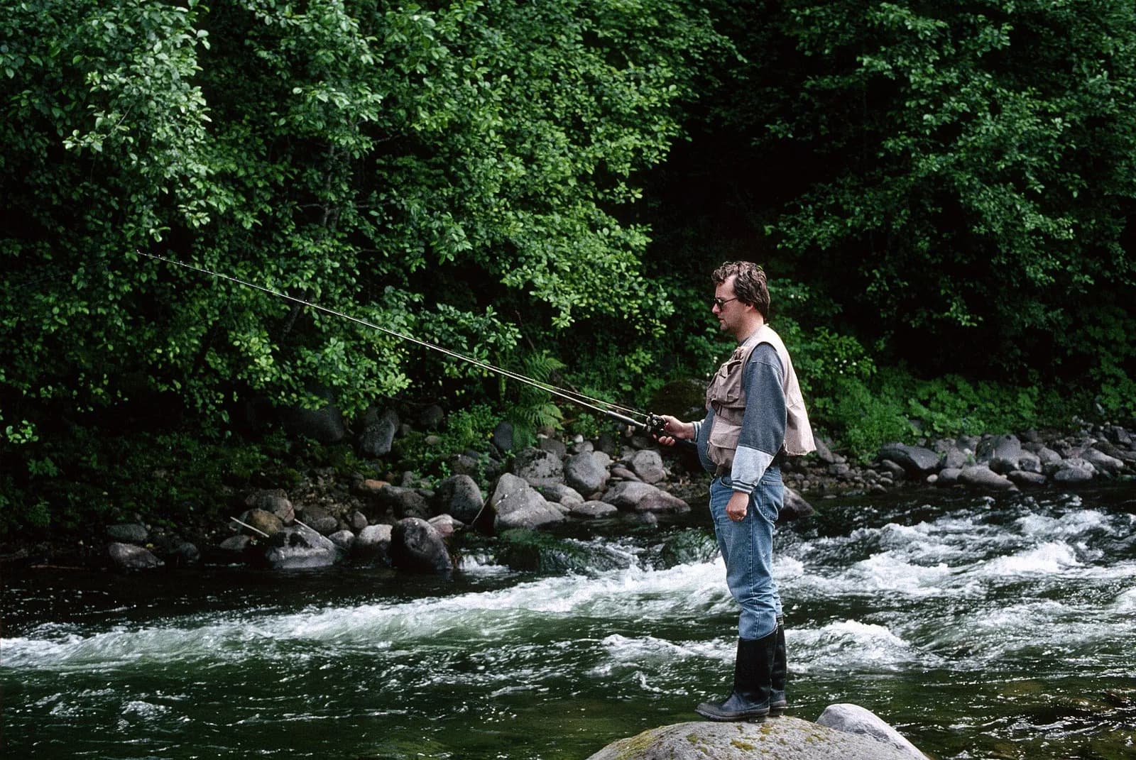
An angler stands on a boulder at the edge of a fast forest stream and fishes the run

Small mountain streams

7′6″–8′6″ rod, 3–4 weight, floating line · Brook, cutthroat, rainbow and brown trout

Open the checklist
Videos for this water (5)

Watch: reading a trout stream

About this

Seams, shelves and soft water, shown on real rivers.

Public YouTube videos from established channels, chosen by us to support this page. Not sponsored; the creators are not affiliated with Legendary Fly Gear.

  • How I Learned to Read Water (Fly Fishing)Embedded from YouTube · Mad River Outfitters · not affiliated with Legendary Fly Gear. Watch on YouTube
  • How To Read The Water with Tom RosenbauerEmbedded from YouTube · The New Fly Fisher · not affiliated with Legendary Fly Gear. Watch on YouTube
  • Reading the Water to Successfully Locate TroutEmbedded from YouTube · Orvis Guide to Fly Fishing · not affiliated with Legendary Fly Gear. Watch on YouTube

Not sponsored All videos on reading water

Watch: nymphing basics

About this

Indicator rigs, depth and detecting the take.

Public YouTube videos from established channels, chosen by us to support this page. Not sponsored; the creators are not affiliated with Legendary Fly Gear.

  • 90° Nymph RigEmbedded from YouTube · Huge Fly Fisherman · not affiliated with Legendary Fly Gear. Watch on YouTube
  • Casting with an Indicator & Better Nymphing TechniquesEmbedded from YouTube · The New Fly Fisher · not affiliated with Legendary Fly Gear. Watch on YouTube

Not sponsored All videos on nymphing

Fish Tales

About this

Trip stories anglers chose to share publicly and tagged with Little Pine Creek.

No stories from here yet.

Sources for this page

Not a statement of access, fish presence or conditions.

Something wrong?

All 12 sources and dates

A water page organises discovery. It does not assert public access, legal access, current fish presence, guide availability or fishing conditions.

Flows, gauge statistics and flood stages come from USGS and the National Weather Service when the page is shown. Regulations, stocking, species and season statements link to the agency that publishes them; this page copies only the species names and the quoted sentences. Guide and shop listings come from the Legendary directories. Position: a point on the mapped channel of “Little Pine Creek”, halfway along its length in Pennsylvania, from the USGS high-resolution hydrography (NHDPlus HR), read 4 Nov 2026. It marks the water, not a particular access or reach. Water type is our own classification.