

Rangeley Lakes
About this
Rangeley sits between Rangeley Lake and Mooselookmeguntic Lake in western Maine, with the Kennebago, Magalloway and Rapid rivers draining the same chain of lakes.
Destination hub · 22 mi away in a straight line, 31 by road
The Dead Diamond River is a freestone river in New Hampshire, listed as Catch and release by New Hampshire Fish and Game Department (official eRegulations edition of the Freshwater Fishing Digest).
The nearest USGS gauge on the same stream system is shown, labelled. 1 guide and 1 shop nearby are listed here; the nearest destination hub is Rangeley Lakes.
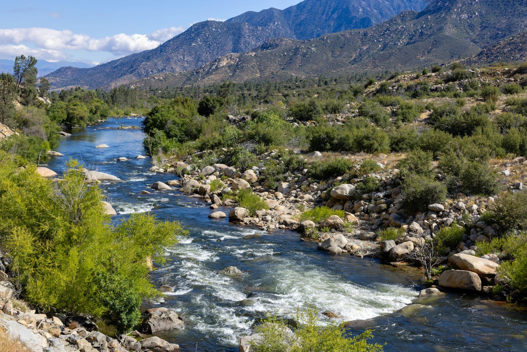
Dead Diamond River is a freestone river in New Hampshire. Our destination hub Rangeley Lakes is 22 mi away in a straight line (31 by road).
Pick one of its USGS gauges and hear from us when the flow moves into or out of its usual range for the date, or crosses a flow you set. We check the public USGS reading every 2 hours and email only when it crosses, at most once every 6 hours. Flow alone is not a fishing forecast or a safety call.
Signed in: one step. Otherwise we email a confirmation link first. Every alert has one-click links to stop it.
Start from the agency's public access map. Nothing on this page grants or implies access: check the agency map, posted signs and landowner permission before you fish.
Nothing on this page grants or implies access.
Gauges, shops and guides within 40 miles
Map of Dead Diamond River: gauges, shops and guides
Map of Dead Diamond River with 1 USGS gauge.
Restrooms within 2 miles of Dead Diamond River in a straight line, nearest first, with what anglers found when they went. The map says a restroom is there, not whether it is clean or open today.
No restroom mapped within 2 mi yet — add one you know.
Campgrounds, fishing access sites and boat ramps often have one that isn't on the map yet.
Restroom locations and map details: © OpenStreetMap contributors, Open Database License, read Oct 24, 2026. Ratings, answers and photos are members' own; who shared them is never shown, and every photo is reviewed before it appears. Visits older than 18 months no longer count. Distances are straight-line miles, not driving. Nothing here grants access to private land. Community guidelines.
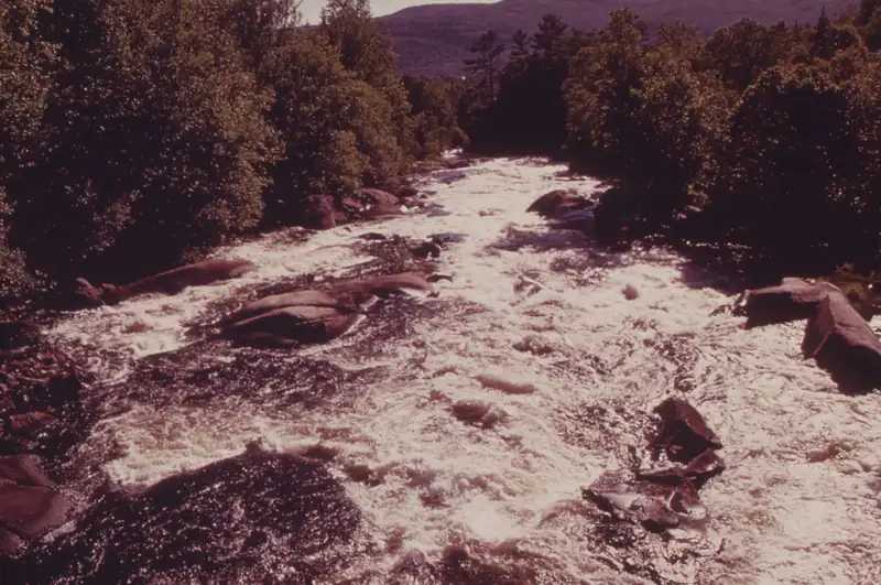 Catch and release
The Magalloway River below Aziscohos Dam, western Maine (June 1973). Photo: Charles Steinhacker / EPA DOCUMERICA, public domain, cropped, via Wikimedia Commons
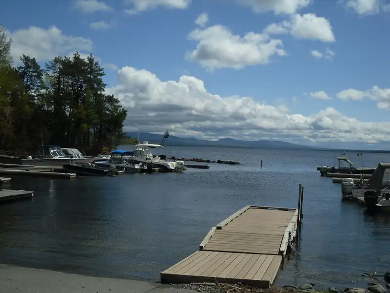 Lake or reservoir
Mooselookmeguntic Lake from Oquossoc, Maine. Photo: Doug Kerr, CC BY-SA 2.0, via Wikimedia Commons
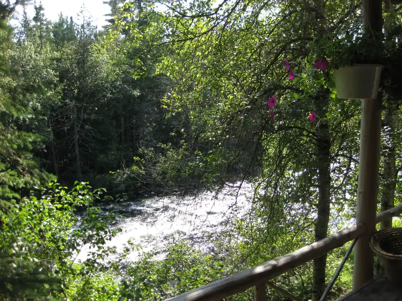 Catch and release
The Rapid River from Forest Lodge, Upton, Maine. Photo: Beverkd, CC BY-SA 3.0, via Wikimedia Commons
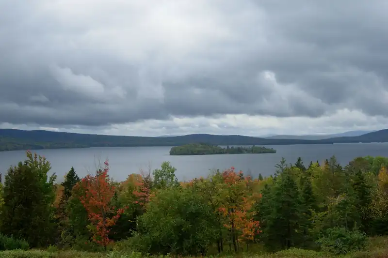 Wild Trout WaterRepresentative photo · not Little Greenough Pond
Rangeley Lake, Maine. Photo: Manuel Velazquez, CC BY 3.0, via Wikimedia Commons Not Little Greenough Pond.
New Hampshire · about 7 mi
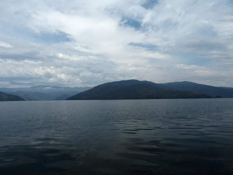 Heritage Trout WaterRepresentative photo · not Beaver Pond
Lake Jocassee from a canoe, South Carolina. Photo: TimothyJ from Atlanta, USA, CC BY 2.0, via Wikimedia Commons Not Beaver Pond.
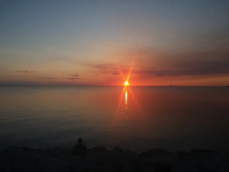 Fly-fishing onlyRepresentative photo · not Little Bear Brook Pond
Sunset at Lake Moultrie, South Carolina. Photo: Kcstanfield, CC BY-SA 4.0, via Wikimedia Commons Not Little Bear Brook Pond.
New Hampshire · about 8 mi
Seasons, limits, special regulations and closures for each reach are on the agency pages below. Read them before you go.
Each comes from the agency's own published list; where the list names a reach it is quoted. A designation applies to the listed reach, not necessarily the whole water. Listed in the finder under trout.
On the Rivers & Streams with Special Rules — catch-and-release sections list (New Hampshire Fish and Game Department (official eRegulations edition of the Freshwater Fishing Digest), read 2026-10-16). All waters with this designation
On the Rivers & Streams with Special Rules — other special rules list (New Hampshire Fish and Game Department (official eRegulations edition of the Freshwater Fishing Digest), read 2026-10-16). All waters with this designation
Measured from the NHDPlus High Resolution (flowlines and waterbodies) (U.S. Geological Survey, read 2026-11-04) for this water’s own mapped feature. Rounded figures; they describe the channel, not today’s conditions.
Listings marked Unclaimed are built from open map records and the business's own website: confirm licensing, rates, dates and hours directly.

Errol, NH · 11 mi
Float trips · Wade trips · Upper Connecticut & Magalloway
Nearby
Rangeley sits between Rangeley Lake and Mooselookmeguntic Lake in western Maine, with the Kennebago, Magalloway and Rapid rivers draining the same chain of lakes.
Destination hub · 22 mi away in a straight line, 31 by road
A practical checklist for fly fishing small mountain trout streams: a short 3–4 weight rod, light line, a few buoyant dries and simple wet-wading gear, with estimated prices and where to buy.
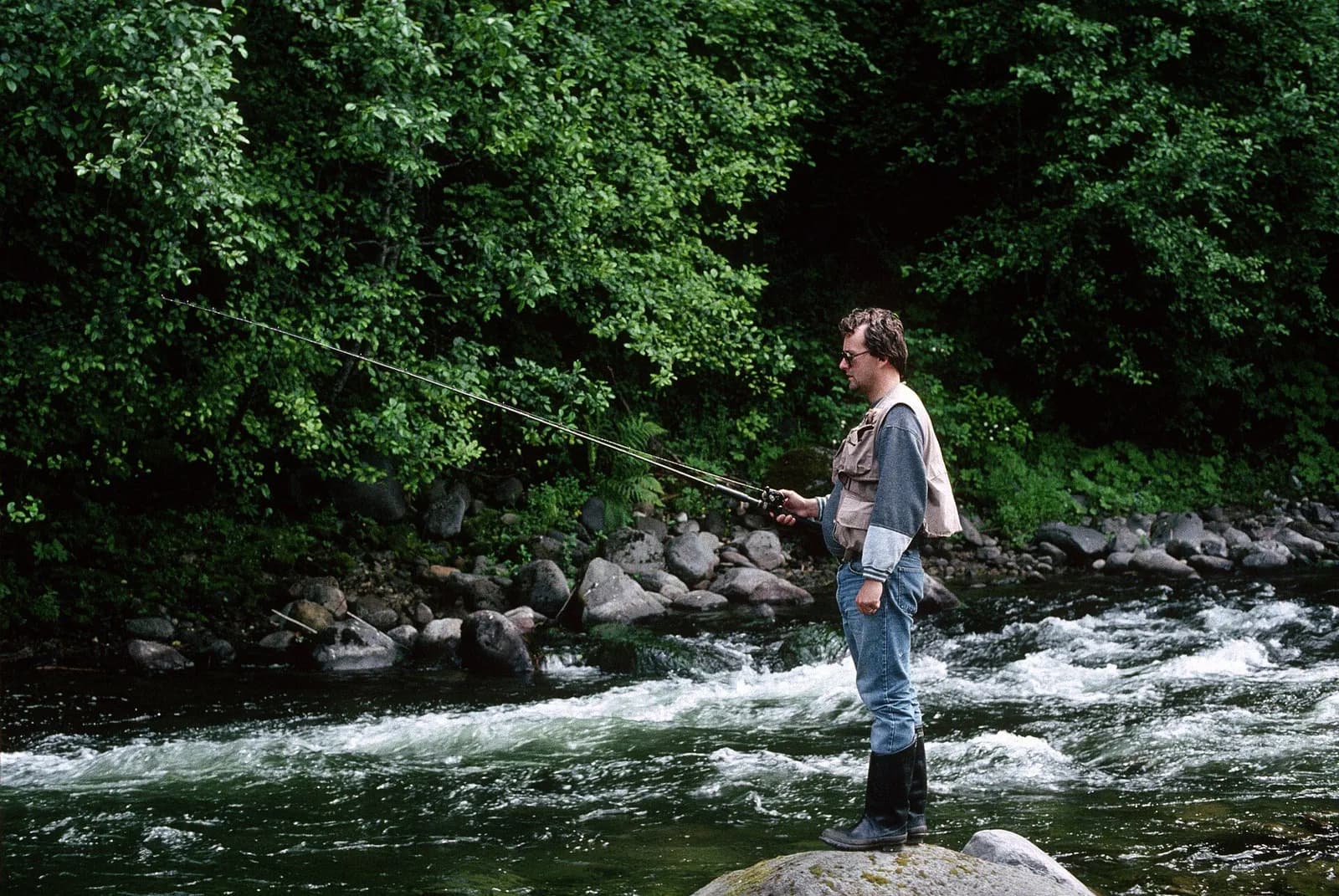
7′6″–8′6″ rod, 3–4 weight, floating line · Brook, cutthroat, rainbow and brown trout
Open the checklistSeams, shelves and soft water, shown on real rivers.
Public YouTube videos from established channels, chosen by us to support this page. Not sponsored; the creators are not affiliated with Legendary Fly Gear.
Not sponsored All videos on reading water
Indicator rigs, depth and detecting the take.
Public YouTube videos from established channels, chosen by us to support this page. Not sponsored; the creators are not affiliated with Legendary Fly Gear.
Not sponsored All videos on nymphing
Trip stories anglers chose to share publicly and tagged with Dead Diamond River.
No stories from here yet.
Not a statement of access, fish presence or conditions.
A water page organises discovery. It does not assert public access, legal access, current fish presence, guide availability or fishing conditions.
Flows, gauge statistics and flood stages come from USGS and the National Weather Service when the page is shown. Regulations, stocking, species and season statements link to the agency that publishes them; this page copies only the species names and the quoted sentences. Guide and shop listings come from the Legendary directories. Position: a point on the mapped channel of “Dead Diamond River”, halfway along its length in New Hampshire, from the USGS high-resolution hydrography (NHDPlus HR), read 4 Nov 2026. It marks the water, not a particular access or reach. Water type is our own classification.
Caution: Low water: go quiet and stealthy
No water temperature here.
At Diamond River near Wentworth Location, NH (USGS 01052500). No gauge on Dead Diamond River. Nearest: Diamond River near Wentworth Location, NH (4.6 mi away), on the river it flows into. Dead Diamond River's own flow is not measured. Provisional USGS data
USGS 01052500 · NWS DIAN3
No gauge on Dead Diamond River. Nearest: Diamond River near Wentworth Location, NH (4.6 mi away), on the river it flows into. Dead Diamond River's own flow is not measured.
What the agencies suggest
Approach the stream carefully and with a low profileIowa Department of Natural Resources
Fishing upstream will usually spook fewer fish than working downstreamIowa Department of Natural Resources
Deep pools and undercut banks provide refuge during sunny days and low waterMinnesota Department of Natural Resources
General guidance from the readings and the published lines named above, not a fishing forecast. Local rules and closures come first.
Reading Nov 5, 5:15 PM EST · provisional USGS data
Much below normal for Nov 5 Rising · 24 h
Discharge, last 7 days: 169 readings from Oct 29, 6:30 PM EDT to Nov 5, 5:15 PM EST; ranging 53.3 to 64.5 ft³/s; latest 64.5 ft³/s.
USGS provisional data may be revised. Source: USGS instantaneous values.
| Time | Discharge (ft³/s) | Gauge height (ft) |
|---|---|---|
| Nov 5, 5:15 PM EST | 64.5 | 2.09 |
| Nov 5, 4:15 PM EST | 64.5 | 2.09 |
| Nov 5, 3:15 PM EST | 64.5 | 2.09 |
| Nov 5, 2:15 PM EST | 64.5 | 2.09 |
| Nov 5, 1:15 PM EST | 64.5 | 2.09 |
| Nov 5, 12:15 PM EST | 64.5 | 2.09 |
| Nov 5, 11:15 AM EST | 64.5 | 2.09 |
| Nov 5, 10:15 AM EST | 64.5 | 2.09 |
| Nov 5, 9:15 AM EST | 64.5 | 2.09 |
| Nov 5, 8:15 AM EST | 64.5 | 2.09 |
| Nov 5, 7:15 AM EST | 64.5 | 2.09 |
| Nov 5, 6:15 AM EST | 63.2 | 2.08 |
| Nov 5, 5:15 AM EST | 63.2 | 2.08 |
| Nov 5, 4:15 AM EST | 63.2 | 2.08 |
| Nov 5, 3:15 AM EST | 61.9 | 2.07 |
| Nov 5, 2:15 AM EST | 61.9 | 2.07 |
| Nov 5, 1:15 AM EST | 60.6 | 2.06 |
| Nov 5, 12:15 AM EST | 60.6 | 2.06 |
| Nov 4, 11:15 PM EST | 59.3 | 2.05 |
| Nov 4, 10:15 PM EST | 59.3 | 2.05 |
| Nov 4, 9:15 PM EST | 59.3 | 2.05 |
| Nov 4, 8:15 PM EST | 58.1 | 2.04 |
| Nov 4, 7:15 PM EST | 58.1 | 2.04 |
| Nov 4, 6:15 PM EST | 58.1 | 2.04 |
| Nov 4, 5:15 PM EST | 56.9 | 2.03 |
| Nov 4, 4:15 PM EST | 56.9 | 2.03 |
| Nov 4, 3:15 PM EST | 56.9 | 2.03 |
| Nov 4, 2:15 PM EST | 56.9 | 2.03 |
| Nov 4, 1:15 PM EST | 55.7 | 2.02 |
| Nov 4, 12:15 PM EST | 55.7 | 2.02 |
| Nov 4, 11:15 AM EST | 55.7 | 2.02 |
| Nov 4, 10:15 AM EST | 55.7 | 2.02 |
| Nov 4, 9:15 AM EST | 55.7 | 2.02 |
| Nov 4, 8:15 AM EST | 54.5 | 2.01 |
| Nov 4, 7:15 AM EST | 54.5 | 2.01 |
| Nov 4, 6:15 AM EST | 54.5 | 2.01 |
| Nov 4, 5:15 AM EST | 54.5 | 2.01 |
| Nov 4, 4:15 AM EST | 54.5 | 2.01 |
| Nov 4, 3:15 AM EST | 54.5 | 2.01 |
| Nov 4, 2:15 AM EST | 54.5 | 2.01 |
| Nov 4, 1:15 AM EST | 54.5 | 2.01 |
| Nov 4, 12:15 AM EST | 54.5 | 2.01 |
| Nov 3, 11:15 PM EST | 53.3 | 2 |
| Nov 3, 10:15 PM EST | 53.3 | 2 |
| Nov 3, 9:15 PM EST | 53.3 | 2 |
| Nov 3, 8:15 PM EST | 53.3 | 2 |
| Nov 3, 7:15 PM EST | 53.3 | 2 |
| Nov 3, 6:15 PM EST | 53.3 | 2 |
| Nov 3, 5:15 PM EST | 53.3 | 2 |
| Nov 3, 4:15 PM EST | 53.3 | 2 |
| Nov 3, 3:15 PM EST | 53.3 | 2 |
| Nov 3, 2:15 PM EST | 53.3 | 2 |
| Nov 3, 1:15 PM EST | 53.3 | 2 |
| Nov 3, 12:15 PM EST | 53.3 | 2 |
| Nov 3, 11:15 AM EST | 53.3 | 2 |
| Nov 3, 10:15 AM EST | 53.3 | 2 |
| Nov 3, 9:15 AM EST | 53.3 | 2 |
| Nov 3, 8:15 AM EST | 54.5 | 2.01 |
| Nov 3, 7:15 AM EST | 54.5 | 2.01 |
| Nov 3, 6:15 AM EST | 54.5 | 2.01 |
| Nov 3, 5:15 AM EST | 54.5 | 2.01 |
| Nov 3, 4:15 AM EST | 54.5 | 2.01 |
| Nov 3, 3:15 AM EST | 54.5 | 2.01 |
| Nov 3, 2:15 AM EST | 54.5 | 2.01 |
| Nov 3, 1:15 AM EST | 54.5 | 2.01 |
| Nov 3, 12:15 AM EST | 54.5 | 2.01 |
| Nov 2, 11:15 PM EST | 54.5 | 2.01 |
| Nov 2, 10:15 PM EST | 54.5 | 2.01 |
| Nov 2, 9:15 PM EST | 54.5 | 2.01 |
| Nov 2, 8:15 PM EST | 55.7 | 2.02 |
| Nov 2, 7:15 PM EST | 55.7 | 2.02 |
| Nov 2, 6:15 PM EST | 55.7 | 2.02 |
| Nov 2, 5:15 PM EST | 55.7 | 2.02 |
| Nov 2, 4:15 PM EST | 55.7 | 2.02 |
| Nov 2, 3:15 PM EST | 55.7 | 2.02 |
| Nov 2, 2:15 PM EST | 55.7 | 2.02 |
| Nov 2, 1:15 PM EST | 55.7 | 2.02 |
| Nov 2, 12:15 PM EST | 55.7 | 2.02 |
| Nov 2, 11:15 AM EST | 56.9 | 2.03 |
| Nov 2, 10:15 AM EST | 56.9 | 2.03 |
| Nov 2, 9:15 AM EST | 56.9 | 2.03 |
| Nov 2, 8:15 AM EST | 56.9 | 2.03 |
| Nov 2, 7:15 AM EST | 56.9 | 2.03 |
| Nov 2, 6:15 AM EST | 56.9 | 2.03 |
| Nov 2, 5:15 AM EST | 56.9 | 2.03 |
| Nov 2, 4:15 AM EST | 56.9 | 2.03 |
| Nov 2, 3:15 AM EST | 58.1 | 2.04 |
| Nov 2, 2:15 AM EST | 58.1 | 2.04 |
| Nov 2, 1:15 AM EST | 58.1 | 2.04 |
| Nov 2, 12:15 AM EST | 58.1 | 2.04 |
| Nov 1, 11:15 PM EST | 58.1 | 2.04 |
| Nov 1, 10:15 PM EST | 58.1 | 2.04 |
| Nov 1, 9:15 PM EST | 59.3 | 2.05 |
| Nov 1, 8:15 PM EST | 59.3 | 2.05 |
| Nov 1, 7:15 PM EST | 59.3 | 2.05 |
| Nov 1, 6:15 PM EST | 59.3 | 2.05 |
| Nov 1, 5:15 PM EST | 60.6 | 2.06 |
| Nov 1, 4:15 PM EST | 60.6 | 2.06 |
| Nov 1, 3:15 PM EST | 60.6 | 2.06 |
| Nov 1, 2:15 PM EST | 60.6 | 2.06 |
| Nov 1, 1:15 PM EST | 61.9 | 2.07 |
| Nov 1, 12:15 PM EST | 61.9 | 2.07 |
| Nov 1, 11:15 AM EST | 61.9 | 2.07 |
| Nov 1, 10:15 AM EST | 61.9 | 2.07 |
| Nov 1, 9:15 AM EST | 61.9 | 2.07 |
| Nov 1, 8:15 AM EST | 63.2 | 2.08 |
| Nov 1, 7:15 AM EST | 63.2 | 2.08 |
| Nov 1, 6:15 AM EST | 63.2 | 2.08 |
| Nov 1, 5:15 AM EST | 63.2 | 2.08 |
| Nov 1, 4:15 AM EST | 63.2 | 2.08 |
| Nov 1, 3:15 AM EST | 63.2 | 2.08 |
| Nov 1, 2:15 AM EST | 63.2 | 2.08 |
| Nov 1, 1:15 AM EST | 63.2 | 2.08 |
| Nov 1, 1:15 AM EDT | 63.2 | 2.08 |
| Nov 1, 12:15 AM EDT | 63.2 | 2.08 |
| Oct 31, 11:15 PM EDT | 63.2 | 2.08 |
| Oct 31, 10:15 PM EDT | 63.2 | 2.08 |
| Oct 31, 9:15 PM EDT | 63.2 | 2.08 |
| Oct 31, 8:15 PM EDT | 63.2 | 2.08 |
| Oct 31, 7:15 PM EDT | 63.2 | 2.08 |
| Oct 31, 6:15 PM EDT | 63.2 | 2.08 |
| Oct 31, 5:15 PM EDT | 63.2 | 2.08 |
| Oct 31, 4:15 PM EDT | 61.9 | 2.07 |
| Oct 31, 3:15 PM EDT | 61.9 | 2.07 |
| Oct 31, 2:15 PM EDT | 61.9 | 2.07 |
| Oct 31, 1:15 PM EDT | 61.9 | 2.07 |
| Oct 31, 12:15 PM EDT | 61.9 | 2.07 |
| Oct 31, 11:15 AM EDT | 61.9 | 2.07 |
| Oct 31, 10:15 AM EDT | 60.6 | 2.06 |
| Oct 31, 9:15 AM EDT | 60.6 | 2.06 |
| Oct 31, 8:15 AM EDT | 60.6 | 2.06 |
| Oct 31, 7:15 AM EDT | 59.3 | 2.05 |
| Oct 31, 6:15 AM EDT | 59.3 | 2.05 |
| Oct 31, 5:15 AM EDT | 59.3 | 2.05 |
| Oct 31, 4:15 AM EDT | 59.3 | 2.05 |
| Oct 31, 3:15 AM EDT | 59.3 | 2.05 |
| Oct 31, 2:15 AM EDT | 59.3 | 2.05 |
| Oct 31, 1:15 AM EDT | 59.3 | 2.05 |
| Oct 31, 12:15 AM EDT | 58.1 | 2.04 |
| Oct 30, 11:15 PM EDT | 58.1 | 2.04 |
| Oct 30, 10:15 PM EDT | 58.1 | 2.04 |
| Oct 30, 9:15 PM EDT | 58.1 | 2.04 |
| Oct 30, 8:15 PM EDT | 58.1 | 2.04 |
| Oct 30, 7:15 PM EDT | 58.1 | 2.04 |
| Oct 30, 6:15 PM EDT | 56.9 | 2.03 |
| Oct 30, 5:15 PM EDT | 56.9 | 2.03 |
| Oct 30, 4:15 PM EDT | 58.1 | 2.04 |
| Oct 30, 3:15 PM EDT | 56.9 | 2.03 |
| Oct 30, 2:15 PM EDT | 56.9 | 2.03 |
| Oct 30, 1:15 PM EDT | 56.9 | 2.03 |
| Oct 30, 12:15 PM EDT | 56.9 | 2.03 |
| Oct 30, 11:15 AM EDT | 56.9 | 2.03 |
| Oct 30, 10:15 AM EDT | 56.9 | 2.03 |
| Oct 30, 9:15 AM EDT | 56.9 | 2.03 |
| Oct 30, 8:15 AM EDT | 56.9 | 2.03 |
| Oct 30, 7:15 AM EDT | 56.9 | 2.03 |
| Oct 30, 6:15 AM EDT | 56.9 | 2.03 |
| Oct 30, 5:15 AM EDT | 56.9 | 2.03 |
| Oct 30, 4:15 AM EDT | 56.9 | 2.03 |
| Oct 30, 3:15 AM EDT | 55.7 | 2.02 |
| Oct 30, 2:15 AM EDT | 55.7 | 2.02 |
| Oct 30, 1:15 AM EDT | 55.7 | 2.02 |
| Oct 30, 12:15 AM EDT | 55.7 | 2.02 |
| Oct 29, 11:15 PM EDT | 55.7 | 2.02 |
| Oct 29, 10:15 PM EDT | 55.7 | 2.02 |
| Oct 29, 9:15 PM EDT | 55.7 | 2.02 |
| Oct 29, 8:15 PM EDT | 55.7 | 2.02 |
| Oct 29, 7:15 PM EDT | 55.7 | 2.02 |
| Oct 29, 6:30 PM EDT | 55.7 | 2.02 |
Normal for Nov 5: 174–489 ft³/s (middle half of 85 years of record). Now: 64.5 ft³/s, much below normal.
Much below normal for this date. 64.5 ft³/s is below the 10th percentile of daily mean flow for Nov 5 at this gauge over 85 years of record (1942–2026): 10th 108, 25th 174, median 267, 75th 489, 90th 728 ft³/s.
Daily means on record for Nov 5: lowest 54 ft³/s, highest 1,350 ft³/s.
Classes as USGS labels them (hyswap: flow categories (WDFN_stats schema) (U.S. Geological Survey) ); percentiles from the USGS daily statistics (U.S. Geological Survey) (approved daily means; the reading is provisional and instantaneous).
Rising over 24 hours: discharge up 13.4%, from 56.9 to 64.5 ft³/s. Rising or falling means a change of more than 10% in discharge (or 0.2 ft of gauge height) over 24 hours; our rule of thumb, not a USGS class.
NWS observed 2.09 ft stage, 63 ft³/s at Nov 5, 5:15 PM EST (NWS gauge DIAN3; its stage datum can differ from the USGS gauge height).
NWS has not set flood categories for this gauge.
Open the NWS gauge page · What the categories mean (National Weather Service)
No current water-temperature reading at this gauge, so no temperature guidance is given. Take a stream thermometer. New Hampshire Fish and Game Department publishes no water-temperature line for trout anglers that we found. The lines below are the National Park Service's, federal guidance, not a New Hampshire rule: 68°F.
This gauge is on our page for Dead Diamond River, but no agency page we read lists its species.
Rising water. Rising over the last 24 hours (discharge up 13.4%). Keep your way back to the bank in sight and watch the level while you fish. “Rising” is our rule of thumb: more than 10% in discharge or 0.2 ft of gauge height in 24 hours, not a USGS or NWS class.
Turn Around Don't Drown. “A mere 6 inches of fast-moving flood water can knock over an adult.” No flow number makes a crossing safe; if in doubt, stay out.
Turn Around Don't Drown (National Weather Service)Guidance from the readings above and the published thresholds named with each line; not a fishing forecast, a safety guarantee or a statement about access. Local rules and closures come first.
Checked Nov 5, 6:20 PM EST; readings refresh at most every 15 minutes and statistics daily. Provisional USGS data can be revised. Conditions change: re-check before you go. This is general guidance, not a fishing forecast, a safety guarantee or a statement about access.
Catch and releaseThe Magalloway River below Aziscohos Dam, western Maine (June 1973). Photo: Charles Steinhacker / EPA DOCUMERICA, public domain, cropped, via Wikimedia Commons
Lake or reservoirMooselookmeguntic Lake from Oquossoc, Maine. Photo: Doug Kerr, CC BY-SA 2.0, via Wikimedia Commons
Catch and releaseThe Rapid River from Forest Lodge, Upton, Maine. Photo: Beverkd, CC BY-SA 3.0, via Wikimedia Commons
Wild Trout WaterRepresentative photo · not Little Greenough PondRangeley Lake, Maine. Photo: Manuel Velazquez, CC BY 3.0, via Wikimedia Commons Not Little Greenough Pond.
New Hampshire · about 7 mi
Heritage Trout WaterRepresentative photo · not Beaver PondLake Jocassee from a canoe, South Carolina. Photo: TimothyJ from Atlanta, USA, CC BY 2.0, via Wikimedia Commons Not Beaver Pond.
Fly-fishing onlyRepresentative photo · not Little Bear Brook PondSunset at Lake Moultrie, South Carolina. Photo: Kcstanfield, CC BY-SA 4.0, via Wikimedia Commons Not Little Bear Brook Pond.
New Hampshire · about 8 mi
Oxford County, Maine
Fish camp · 12 mi
Rangeley, Maine
Campground · 13 mi
Oxford County, Maine
Fish camp · 14 mi