
Bull Shoals Lake

Type
Lake or reservoir, Arkansas (South)
Designation
Agency-named bass water
USGS gauges
None listed
Guides
4 name it
Shops
1 nearby

Today on Bull Shoals Lake

Lake level: see the readings below
Why there is no reading

The lake level from the published gauge or the dam operator is in the readings below, with its time and datum.

Regulations & access Guides & shops

Bull Shoals Lake is a lake or reservoir in Arkansas, listed as Agency-named bass water by Missouri Department of Conservation.

More about Bull Shoals Lake

Missouri Department of Conservation lists 6 species, including largemouth bass, spotted bass and walleye. 9 guides and 1 shop nearby are listed here; the nearest destination hub is White River & the Ozarks.

Updated · Sources: Black Bass Special Area Regulations, Bull Shoals Lake Prospect Report | Missouri Department of Conservation

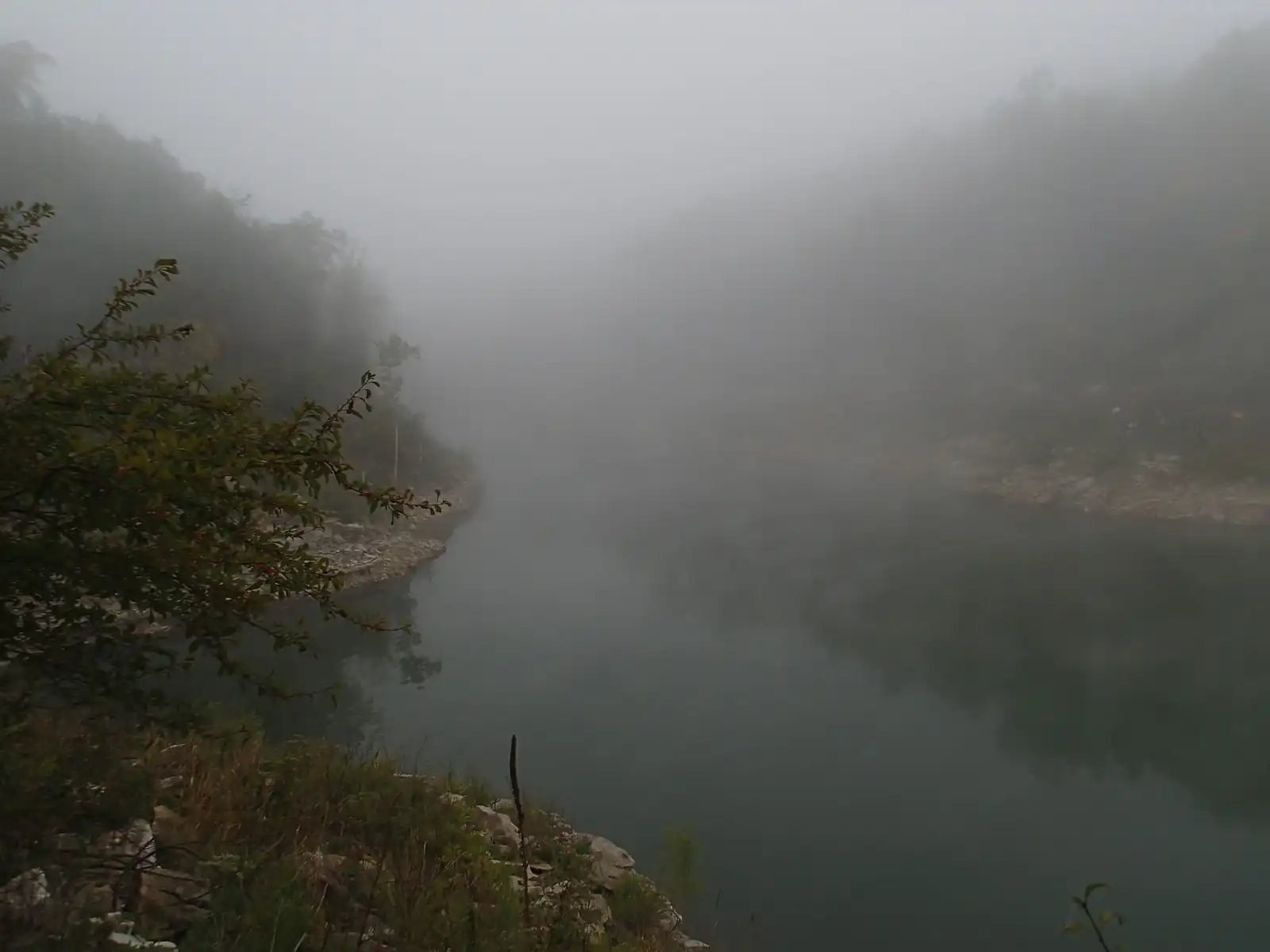
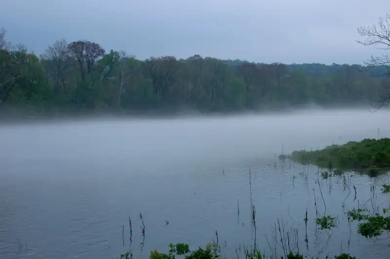
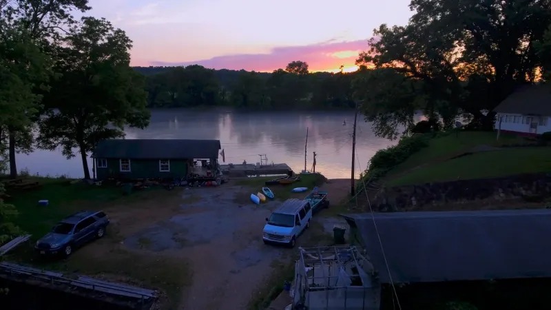
Mist over Bull Shoals Lake at dawn, with forested Ozark hills along the shore
Photo credit

Bull Shoals Lake on a misty morning, Taney County, Missouri. Photo: Semipaw, CC BY 3.0, via Wikimedia Commons

Where it is

Bull Shoals Lake is a lake or reservoir in Arkansas. Our destination hub White River & the Ozarks is 32 mi away in a straight line and lists it among its waters.

Lake level now
Reading the lake level…

Sources Bull Shoals Lake: hourly data (Little Rock District)

About these readings

The lake's water level from the published USGS lake gauge or the dam operator, with its time and datum. A reference level (full or normal pool) appears only where the same source publishes one.

Where to fish

About this

Start from the agency's public access map. Nothing on this page grants or implies access: check the agency map, posted signs and landowner permission before you fish.

Nothing on this page grants or implies access.

Bull Shoals Lake on the map

About this

Shops and guides within 40 miles

Map of Bull Shoals Lake: gauges, shops and guides

RestroomsAccess map

Map of Bull Shoals Lake, and shops and guides with an exact address within 40 miles.

Restrooms near Bull Shoals Lake

Restrooms near Bull Shoals Lake

Restrooms within 2 miles of Bull Shoals Lake in a straight line, nearest first, with what anglers found when they went. The map says a restroom is there, not whether it is clean or open today.

No restroom mapped within 2 mi yet — add one you know.

Campgrounds, fishing access sites and boat ramps often have one that isn't on the map yet.

Restroom locations and map details: © OpenStreetMap contributors, Open Database License, read Oct 24, 2026. Ratings, answers and photos are members' own; who shared them is never shown, and every photo is reviewed before it appears. Visits older than 18 months no longer count. Distances are straight-line miles, not driving. Nothing here grants access to private land. Community guidelines.

More water near Bull Shoals Lake

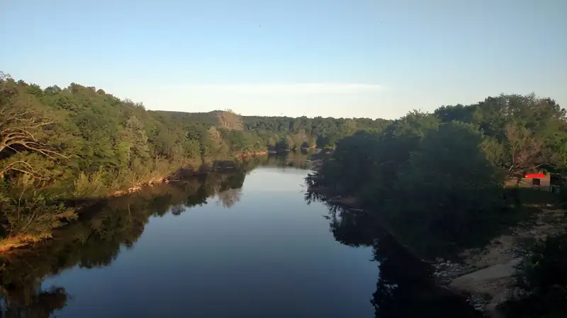
  • Crooked Creek at Yellville, a calm pool between wooded banks in evening lightAgency-named bass water
    Photo credit

    Crooked Creek at Highway 14 in Yellville, Arkansas. Photo: Brandonrush, CC BY-SA 4.0, via Wikimedia Commons

    Crooked Creek

    Arkansas · about 23 mi

    Smallmouth bass, largemouth bass & panfish

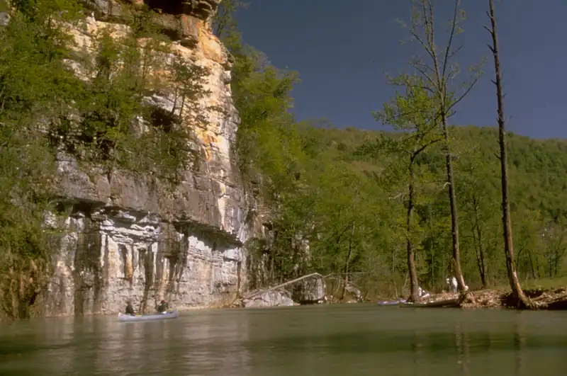
  • The Buffalo River flowing below tall limestone bluffs in the OzarksAgency-named bass water
    Photo credit

    Buffalo National River, Arkansas. Photo: National Park Service, public domain, cropped, via Wikimedia Commons

    Buffalo National River

    Arkansas · about 37 mi

    Smallmouth bass, largemouth bass & panfish

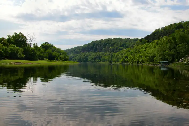
  • The White River near Flippin, calm water reflecting green wooded hillsTailwater trout fishery
    Photo credit

    The White River near Flippin, Arkansas. Photo: James Powers (Jpowersok), CC BY 2.5, via Wikimedia Commons

    White River

    Arkansas · about 42 mi

    Rainbow & brown trout

  • The Norfork tailwater flowing clear and green below Norfork Dam between wooded banksTailwater trout fishery
    Photo credit

    The North Fork River tailwater downstream of Norfork Dam, Arkansas. Photo: Brandonrush, CC0, via Wikimedia Commons

    North Fork River (Norfork Tailwater)

    Arkansas · about 44 mi

    Rainbow & brown trout

  • Fog lifting off Lake Taneycomo in the early morning, with wooded hills on the far shoreAgency-named bass waterRepresentative photo · not Norfork Lake
    Photo credit

    Fog on Lake Taneycomo, Missouri. Photo: Luke Wisley, CC BY 2.0, via Wikimedia Commons Not Norfork Lake.

    Norfork Lake

    Missouri · about 38 mi

  • The Eleven Point River in the Missouri OzarksBlue RibbonRepresentative photo · not North Fork River
    Photo credit

    The Eleven Point River, Missouri. Photo: Charlie Llewellin from Austin, USA, CC BY-SA 2.0, via Wikimedia Commons Not North Fork River.

    North Fork River

    Missouri · about 41 mi

Regulations

About this

Seasons, limits, special regulations and closures for each reach are on the agency pages below. Read them before you go.

Official designation: Agency-named bass water

Each comes from the agency's own published list; where the list names a reach it is quoted. A designation applies to the listed reach, not necessarily the whole water. Listed in the finder under bass.

The water on the map

About this

Measured from the NHDPlus High Resolution (flowlines and waterbodies) (U.S. Geological Survey, read 2026-11-04) for this water’s own mapped feature. Rounded figures; they describe the channel, not today’s conditions.

Surface area
44,980 acres
Watershed
Bull Shoals Lake

Public land along it

About this

Areas the Protected Areas Database of the United States (PAD-US), public access (U.S. Geological Survey, Gap Analysis Project, read 2026-11-05) lists as owned or held in easement and open to the public, crossed by the mapped shoreline. Boundaries are mapped, not surveyed. Nothing on this page grants or implies access: check the agency map, posted signs and landowner permission before you fish.

409.1 of 711.4 mi of shoreline on public land

  • Bull Shoals Recreation AreaArmy Corps of Engineers · 399.6 mi
  • Drury-Mincy Conservation AreaUnknown · 9.6 mi · restricted

Nothing on this page grants or implies access.

Guides and shops near Bull Shoals Lake

About this

Listings marked Unclaimed are built from open map records and the business's own website: confirm licensing, rates, dates and hours directly.

4 guides name it on their website

Guides

  • Del Colvin Fishing

    Bull Shoals, AR · 22 mi

    Lake & stillwater · Bull Shoals Lake & White

    • Unclaimed

    Names this water

  • Just Fred Walleye Guide Service

    Lakeview, AR · 26 mi

    Bull Shoals Lake

    • Unclaimed

    Names this water

  • CJ's White River Outfitter

    Cotter, AR · 29 mi

    Drift boat · Beginners & lessons · Snake & White

    • Unclaimed

    Names this water

  • STR Outfitters

    Mountain Home, AR · 40 mi

    Bull Shoals Lake

    • Unclaimed

    Names this water

  • Wishes & Fishes

    Bull Shoals, AR · 23 mi

    Beginners & lessons · White & Norfork Tailwater

    • Unclaimed

    Nearby

  • Riffletrip Outfitters

    Flippin, AR · 26 mi

    Float trips · Drift boat · White & Norfork Tailwater

    • Unclaimed

    Nearby

  • White River Family Fishing

    Flippin, AR · 27 mi

    Overnight camp trips · White River

    • Unclaimed

    Nearby

  • Hurst Fishing Service

    Cotter, AR · 28 mi

    Float trips · Beginners & lessons · White River

    • Unclaimed

    Nearby

1 shop nearby

How these are chosen

Guides whose own website names this water come first, nearest first. After them, fly-focused guides within 40 miles whose website does not name it. Distances are straight-line.

Shops: fly shops first. A distance is shown when the shop’s website gives its location (within 60 miles); otherwise the shop is in one of the towns within 25 miles of the water.

Guide and shop listings come from the Legendary directories.

Species and hatches

About this

The species the agency lists here; presence varies by reach and season.

Listed by the state agency

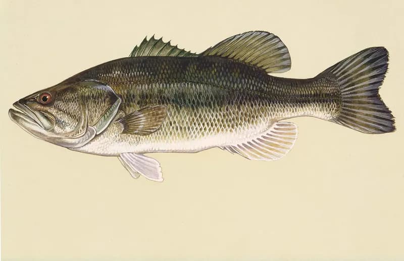
  • Illustration of a largemouth bass: green body with a dark horizontal stripe and a jaw reaching past the eye

    Largemouth bass

    Species guide

    Photo credit

    Largemouth bass (Micropterus salmoides), illustration by Duane Raver for the U.S. Fish and Wildlife Service. Photo: Duane Raver, U.S. Fish and Wildlife Service, public domain, via Wikimedia Commons

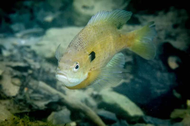
  • An underwater photograph of a sunfish hovering over a rocky bottom, deep-bodied with a dark ear flap

    Panfish

    Species guide

    Photo credit

    A bluegill sunfish (Lepomis macrochirus), photographed by Ryan Hagerty for the U.S. Fish and Wildlife Service. Photo: Ryan Hagerty/USFWS, public domain, via Wikimedia Commons

  • spotted bass
  • walleye
  • white bass
  • white crappie

White River & the Ozarks

About this

Cotter and Mountain Home sit on the White River below Bull Shoals Dam in the Arkansas Ozarks, with the North Fork tailwater below Norfork Dam and the Buffalo National River to the south-west.

Destination hub · 32 mi away in a straight line
Gear checklist

About this

A stillwater fly-fishing checklist for lakes and ponds: a 9–10 ft 5–6 weight rod, floating and intermediate lines, chironomids and leeches, and float-tube options, with estimated prices and where to buy.

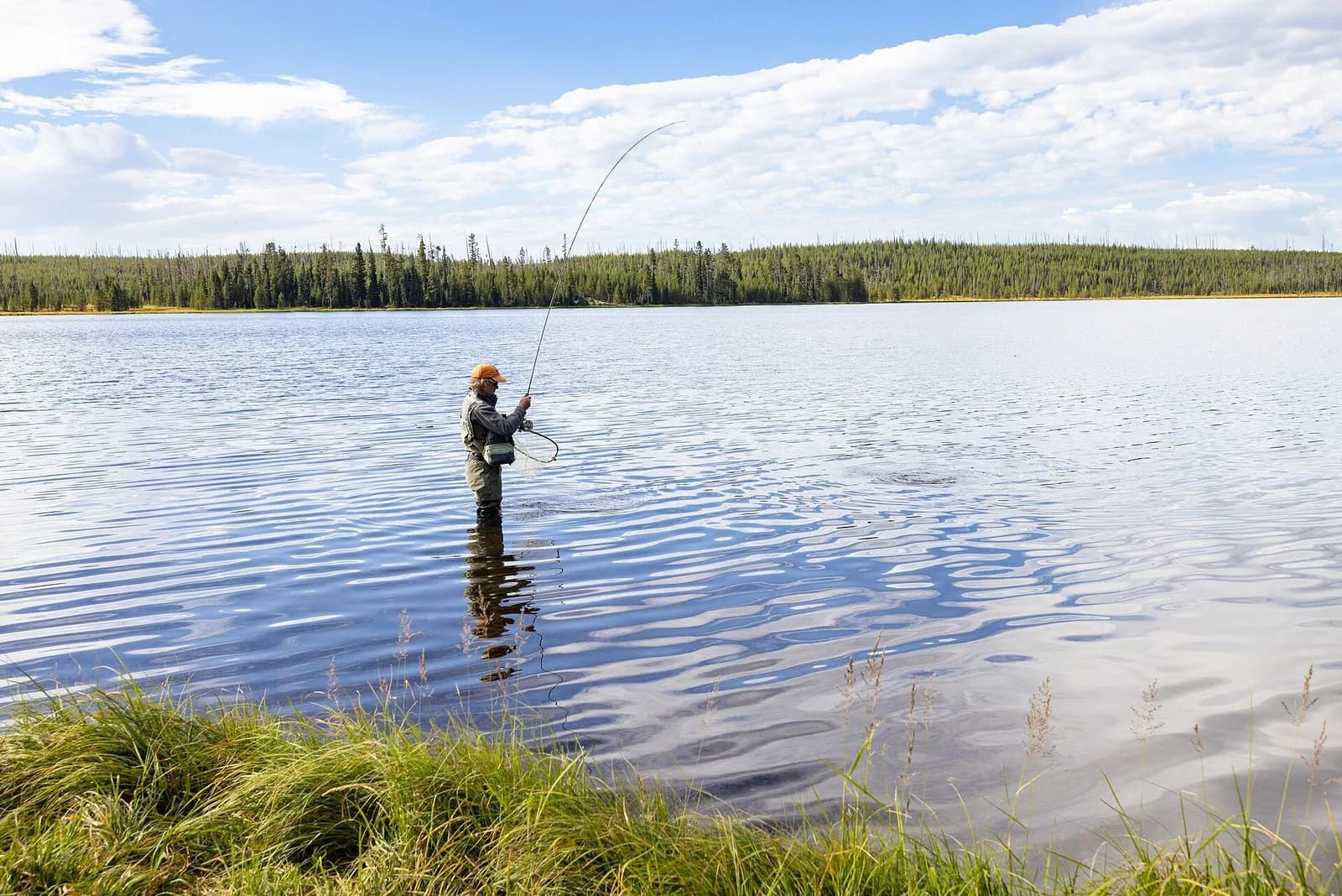
An angler stands knee-deep in a calm lake with the rod bent, playing a trout

Lakes & stillwater

9′–10′ rod, 5–6 weight, floating + intermediate lines · Rainbow, brook and brown trout in lakes

Open the checklist
Videos for this water (3)

Watch: stillwater trout basics

About this

Chironomids, leeches and where fish hold in a lake.

Public YouTube videos from established channels, chosen by us to support this page. Not sponsored; the creators are not affiliated with Legendary Fly Gear.

  • Catch More Trout in Lakes Using Indicators – Stillwater Fly Fishing TipsEmbedded from YouTube · Fly Fish Food · not affiliated with Legendary Fly Gear. Watch on YouTube
  • Stillwater Fly Fishing Is Simpler Than You Think! | Introduction to Stillwater Fly FishingEmbedded from YouTube · Fly Fish Food · not affiliated with Legendary Fly Gear. Watch on YouTube
  • Why is this Chironomid Fly Pattern So Versatile? | Two-Toner BC Chironomid | Fly Tying TutorialEmbedded from YouTube · Fly Fish Food · not affiliated with Legendary Fly Gear. Watch on YouTube

Not sponsored All videos on stillwater

Fish Tales

About this

Trip stories anglers chose to share publicly and tagged with Bull Shoals Lake.

No stories from here yet.

Sources for this page

Not a statement of access, fish presence or conditions.

Something wrong?

All 11 sources and dates

A water page organises discovery. It does not assert public access, legal access, current fish presence, guide availability or fishing conditions.

Flows, gauge statistics and flood stages come from USGS and the National Weather Service when the page is shown. Regulations, stocking, species and season statements link to the agency that publishes them; this page copies only the species names and the quoted sentences. Guide and shop listings come from the Legendary directories. Position: the point for “Bull Shoals Lake” (reservoir) in the USGS Geographic Names Information System. Water type is our own classification.