All 79 West 23 East 16 Midwest 3 South 12 Outside the US 25
West: 23 destinations Montana
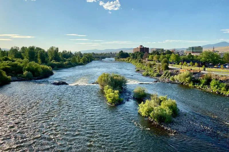
Clark Fork River · Bitterroot River · Blackfoot River · Rock Creek
Waters 4
Guides 1615 fly
Shops 12 Within 60 mi
Photo credit and radius Listings within 60 miles of Missoula, straight-line.
Photo: w_lemay , CC BY-SA 2.0 , cropped, via Wikimedia Commons
Montana
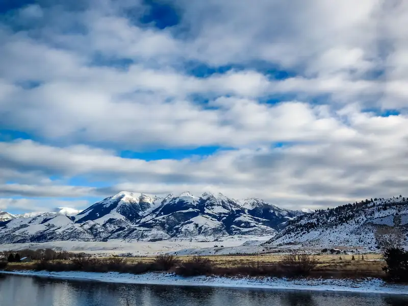
Madison River · Gallatin River · Yellowstone River · Jefferson River · +2
Waters 6
Guides 2521 fly
Shops 14 Montana
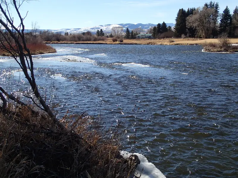
Madison River · Ennis Lake · Ruby River · Beaverhead River · +2
Waters 6
Guides 2420 fly
Shops 8 Within 60 mi
Photo credit and radius Listings within 60 miles of Ennis, straight-line.
Photo: Mike Cline , CC BY-SA 4.0 , via Wikimedia Commons
Idaho
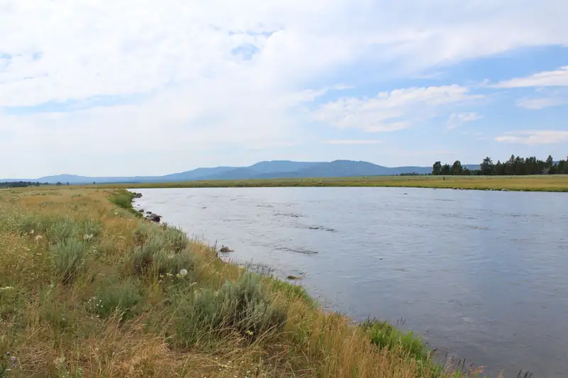
Henry's Fork · Henry's Lake · Teton River · Fall River · +2
Waters 6
Guides 1715 fly
Shops 11 Within 75 mi
Photo credit and radius Listings within 75 miles of Island Park, straight-line.
Photo: Z3lvs , CC0, via Wikimedia Commons
Wyoming
Snake River · Gros Ventre River · Hoback River · Flat Creek · +3
Waters 7
Guides 1212 fly
Shops 11 Within 60 mi
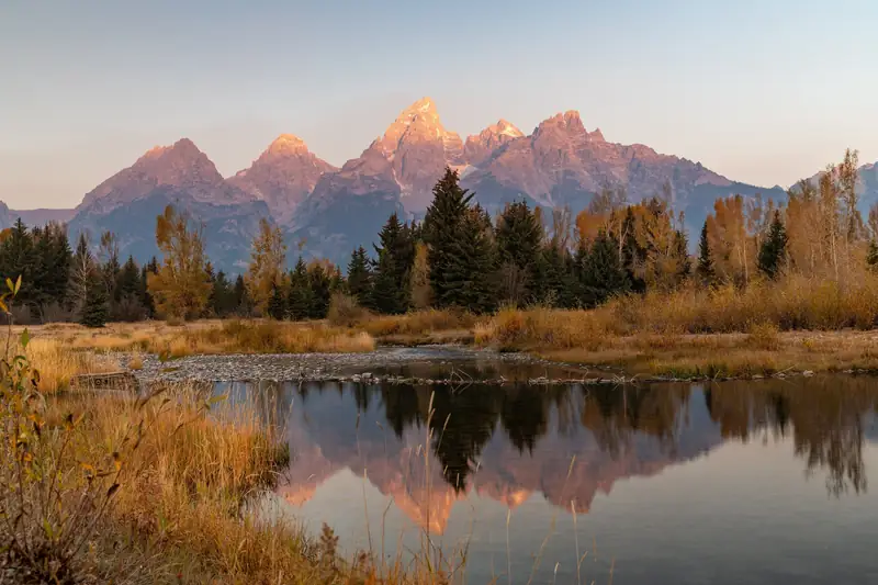
Photo credit and radius Listings within 60 miles of Jackson, straight-line.
Photo: Eric Kilby , CC BY-SA 2.0 , via Wikimedia Commons
Colorado
Big Thompson River · Fall River · Cache la Poudre River · St. Vrain Creek · +1
Waters 5
Guides 1611 fly
Shops 17 Within 60 mi
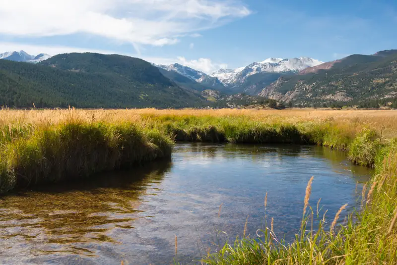
Photo credit and radius Listings within 60 miles of Estes Park, straight-line.
Photo: Frank Schulenburg , CC BY-SA 4.0 , via Wikimedia Commons
Oregon
Deschutes River · Lower Deschutes · Crooked River · Metolius River · +2
Waters 6
Guides 96 fly
Shops 15 Within 60 mi
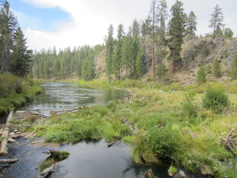
Photo credit and radius Listings within 60 miles of Bend, straight-line.
Photo: Another Believer , CC BY-SA 4.0 , via Wikimedia Commons
California
Sacramento River · Lower Sacramento · Upper Sacramento · Trinity River · +4
Waters 8
Guides 1710 fly
Shops 6 Within 60 mi
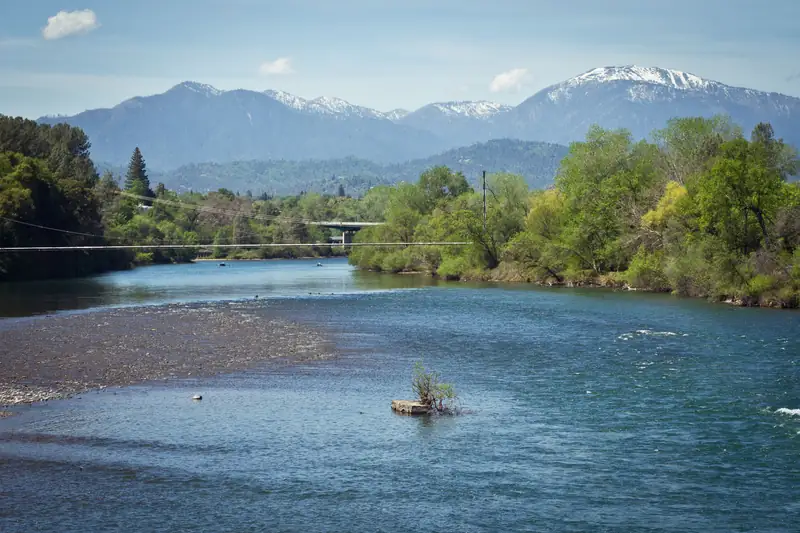
Photo credit and radius Listings within 60 miles of Redding, straight-line.
Photo: Tony Webster , CC BY-SA 3.0 , via Wikimedia Commons
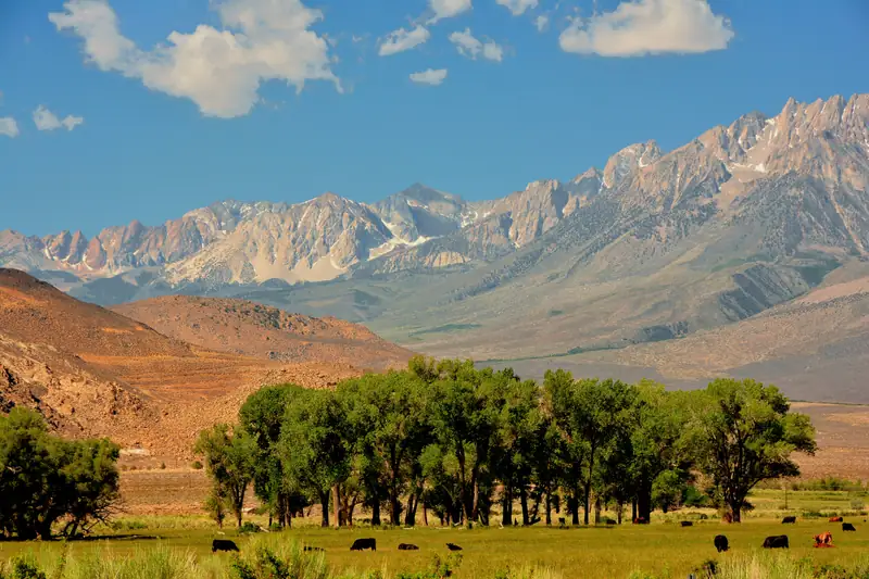
California
Owens River · Hot Creek · Crowley Lake · East Walker River · +2
Waters 6
Guides 86 fly
Shops 4 Within 75 mi
Photo credit and radius Listings within 75 miles of Bishop, straight-line.
Photo: Mike McBey , CC BY 2.0 , via Wikimedia Commons
Colorado
Animas River · San Juan River · Piedra River · Los Pinos River · +1
Waters 5
Guides 119 fly
Shops 5 Within 60 mi
Photo credit and radius Listings within 60 miles of Durango, straight-line.
Photo: Ahodges7 , CC BY-SA 3.0 , via Wikimedia Commons
Washington
Hoh River · Sol Duc River · Bogachiel River · Calawah River · +2
Waters 6
Guides 113 fly
Shops 3 Alaska
Kenai River · Russian River · Kasilof River · Moose River · +2
Waters 6
Guides 6116 fly
Shops 3 Alaska
Willow Creek · Deshka River · Little Susitna River · Kashwitna River · +3
Waters 7
Guides 137 fly
Shops 2 Within 60 mi
Photo credit and radius Listings within 60 miles of Willow, straight-line.
Photo: Kolmkolm , CC BY-SA 4.0 , via Wikimedia Commons
Alaska
Ketchikan Creek · Ward Creek · Fish Creek · Naha River · +1
Waters 5
Guides 301 fly
Shops 0 Within 60 mi
Photo credit and radius Listings within 60 miles of Ketchikan, straight-line.
Photo: Joe Mabel , CC BY-SA 4.0 , via Wikimedia Commons
Alaska
Indian River · Salmon Lake · Redoubt Lake · Baranof Lake
Waters 4
Guides 162 fly
Shops 0 Within 60 mi
Photo credit and radius Listings within 60 miles of Sitka, straight-line.
Photo: National Park Service , public domain, via Wikimedia Commons
Alaska
Montana Creek · Cowee Creek · Windfall Lake · Mendenhall Lake · +2
Waters 6
Guides 100 fly
Shops 2 Alaska
Ship Creek · Campbell Creek · Eagle River · South Fork Eagle River · +4
Waters 8
Guides 3012 fly
Shops 7 Within 60 mi
Photo credit and radius Listings within 60 miles of Anchorage, straight-line.
Photo: Diego Delso , CC BY-SA 4.0 , via Wikimedia Commons
Alaska
Pillar Creek · Monashka Creek · Sacramento River
Waters 3
Guides 90 fly
Shops 0 Colorado
South Platte River · Spinney Mountain Reservoir · Middle Fork South Platte River
Waters 3
Guides 1512 fly
Shops 22 Within 60 mi
Photo credit and radius Listings within 60 miles of Deckers, straight-line.
Photo: Hogs555 , CC BY-SA 3.0 , via Wikimedia Commons
Colorado
Roaring Fork River · Fryingpan River · Eagle River
Waters 3
Guides 1413 fly
Shops 12 Within 60 mi
Photo credit and radius Listings within 60 miles of Basalt, straight-line.
Photo: Jeffrey Beall , CC BY 4.0 , via Wikimedia Commons
New Mexico
San Juan River · Navajo Lake · Piedra River · Los Pinos River
Waters 4
Guides 119 fly
Shops 4 Within 60 mi
Photo credit and radius Listings within 60 miles of Navajo Dam, straight-line.
Photo: Phil Slattery , CC BY-SA 4.0 , via Wikimedia Commons
Oregon
Rogue River · Applegate River · South Fork Umpqua River
Waters 3
Guides 293 fly
Shops 4 Montana
Missouri River · Holter Reservoir · Dearborn River
Waters 3
Guides 55 fly
Shops 12 Within 60 mi
Photo credit and radius Listings within 60 miles of Craig, straight-line.
Photo: Lankyrider , CC BY-SA 4.0 , cropped, via Wikimedia Commons
What these pages are, and are not Pick a town, see the waters around it, the guides and shops we list within a set distance of the town (shown on each card, measured in a straight line), the license and rules pages, how to get there and what else to see. Then plan the trip and budget it without a single invented price.
Each hub is built from the guide and shop directories we already publish, the gear checklists and curated videos on this site, and links to official sources: state fish and wildlife agencies, the National Park Service, the Forest Service, wildlife refuges, state parks, national and provincial agencies abroad and official tourism offices. Guide and shop counts are listings within the stated straight-line radius of the town, not endorsements; the totals at the top count each listing once, even where two hubs' radii overlap. Seasons and species, where shown, are what nearby guides state on their own websites. Nothing on these pages reports conditions, promises fish, quotes a guide’s rate or grants access to any water; check the linked agency pages and confirm with the people you book with.