
Point Judith Harbor of Refuge

Type
Surf and shore, Rhode Island (East)
Designation
Agency-named saltwater fishing water
USGS gauges
None listed
Guides
2 nearby
Shops
1 nearby

Today on Point Judith Harbor of Refuge

Tides: see the readings below
Why there is no reading

Tidal water has no streamflow gauge. Tide predictions, water level and water temperature from the nearest NOAA stations are in the readings below.

Regulations & access Guides & shops

Point Judith Harbor of Refuge is a surf and shore in Rhode Island, listed as Agency-named saltwater fishing water by RIDEM Division of Marine Fisheries (2026 Saltwater Fishing guide, official eRegulations edition).

More about Point Judith Harbor of Refuge

2 guides and 1 shop nearby are listed here.

Updated · Sources: Saltwater waters with their own recreational rules (summer flounder shore areas; winter flounder closed waters)

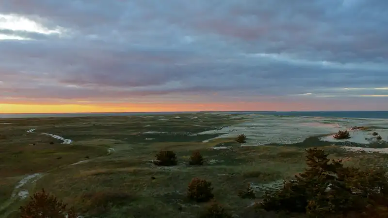
Representative photograph of similar water; not a photograph of this place.
Representative photograph, not this water.
Where it is

Point Judith Harbor of Refuge is a surf and shore in Rhode Island.

Tides, level and temperature
Reading NOAA tide stations…

Sources Tides & Currents

About these readings

Tidal and coastal waters have no USGS streamflow gauge. Tide predictions and observed water level and temperature come from the nearest NOAA stations, named with their distance; we do not estimate them.

Where to fish

About this

Start from the agency's public access map. Nothing on this page grants or implies access: check the agency map, posted signs and landowner permission before you fish.

Nothing on this page grants or implies access.

Point Judith Harbor of Refuge on the map

About this

Shops and guides within 40 miles

Map of Point Judith Harbor of Refuge: gauges, shops and guides

Map of Point Judith Harbor of Refuge, and shops and guides with an exact address within 40 miles.

Restrooms near Point Judith Harbor of Refuge

Restrooms near Point Judith Harbor of Refuge

Restrooms within 2 miles of Point Judith Harbor of Refuge in a straight line, nearest first, with what anglers found when they went. The map says a restroom is there, not whether it is clean or open today.

Map of 4 restrooms near Point Judith Harbor of Refuge

Skip the map; every place is in the list below

Map of 4 restrooms near Point Judith Harbor of Refuge, numbered as in the list, with the water’s point marked.

  1. Restroom

    1.0 mi away in a straight line
    • Flush toilet (mapped)
    • Public (mapped)
    • Free (mapped)

    Not rated yet — be the first to tell other anglers if it's clean.

    We don't know yet: is it clean? · step-free? — tell other anglers: show the questions
    • Is it clean?
    • Step-free?

    Mapped on OpenStreetMap · see or fix it on the map

  2. Restroom

    1.2 mi away in a straight line

    Not rated yet — be the first to tell other anglers if it's clean.

    We don't know yet: is it clean? · flush or vault? · free? · open to everyone? · step-free? — tell other anglers: show the questions
    • Is it clean?
    • Flush or vault?
    • Free?
    • Open to everyone?
    • Step-free?

    Mapped on OpenStreetMap · see or fix it on the map

  3. Restroom

    1.3 mi away in a straight line

    Not rated yet — be the first to tell other anglers if it's clean.

    We don't know yet: is it clean? · flush or vault? · free? · open to everyone? · step-free? — tell other anglers: show the questions
    • Is it clean?
    • Flush or vault?
    • Free?
    • Open to everyone?
    • Step-free?

    Mapped on OpenStreetMap · see or fix it on the map

  4. Restroom

    1.3 mi away in a straight line

    Not rated yet — be the first to tell other anglers if it's clean.

    We don't know yet: is it clean? · flush or vault? · free? · open to everyone? · step-free? — tell other anglers: show the questions
    • Is it clean?
    • Flush or vault?
    • Free?
    • Open to everyone?
    • Step-free?

    Mapped on OpenStreetMap · see or fix it on the map

Restroom locations and map details: © OpenStreetMap contributors, Open Database License, read Oct 24, 2026. Ratings, answers and photos are members' own; who shared them is never shown, and every photo is reviewed before it appears. Visits older than 18 months no longer count. Distances are straight-line miles, not driving. Nothing here grants access to private land. Community guidelines.

More water near Point Judith Harbor of Refuge

  • A tug pushing an oil barge through the Cape Cod Canal beneath the Bourne BridgeAgency-named saltwater fishing waterRepresentative photo · not Point Judith Pond
    Photo credit

    A barge in the Cape Cod Canal. Photo: Pvalerio, CC BY 3.0, via Wikimedia Commons Not Point Judith Pond.

    Point Judith Pond

    Rhode Island · about 2 mi

  • Sailboats at anchor in Lewis Bay off Hyannis under a cloudy skyAgency-named saltwater fishing waterRepresentative photo · not Potter Pond
    Photo credit

    Lewis Bay, Hyannis, opening onto Nantucket Sound. Photo: EgorovaSvetlana, CC BY-SA 4.0, via Wikimedia Commons Not Potter Pond.

    Potter Pond

    Rhode Island · about 2 mi

  • Sunset over Cape Cod Bay from the dunes at Brewster, with beach grass and sand fencingAgency-named saltwater fishing waterRepresentative photo · not Ninigret Pond
    Photo credit

    Sunset over the Brewster flats on Cape Cod Bay. Photo: PapaDunes, CC BY-SA 2.0, via Wikimedia Commons Not Ninigret Pond.

    Ninigret Pond

    Rhode Island · about 8 mi

  • The Eightmile River flowing through woods at LymeCatch and releaseRepresentative photo · not Beaver River
    Photo credit

    The Eightmile River at Lyme, Connecticut. Photo: John Phelan, CC BY 4.0, via Wikimedia Commons Not Beaver River.

    Beaver River

    Rhode Island · about 11 mi

    Brook trout

  • The Salmon River flowing through hardwood forest above the Comstock BridgeDesignated trout waterRepresentative photo · not Pawcatuck River
    Photo credit

    The Salmon River above the Comstock Bridge, Connecticut. Photo: H. Morrow Long, CC BY-SA 3.0, via Wikimedia Commons Not Pawcatuck River.

    Pawcatuck River

    Rhode Island · about 11 mi

  • Salt marsh, dunes and shallow water of South Monomoy at sunset, seen from the lighthouseAgency-named saltwater fishing waterRepresentative photo · not Block Island
    Photo credit

    South Monomoy Island from the top of Monomoy Lighthouse, Monomoy National Wildlife Refuge. Photo: U.S. Fish and Wildlife Service, Northeast Region, public domain, via Wikimedia Commons Not Block Island.

    Block Island

    Rhode Island · about 13 mi

    Striped bass

Regulations

About this

Seasons, limits, special regulations and closures for each reach are on the agency pages below. Read them before you go.

Official designation: Agency-named saltwater fishing water

Each comes from the agency's own published list; where the list names a reach it is quoted. A designation applies to the listed reach, not necessarily the whole water. Listed in the finder under saltwater.

Guides and shops near Point Judith Harbor of Refuge

About this

Listings marked Unclaimed are built from open map records and the business's own website: confirm licensing, rates, dates and hours directly.

Guides

  • Pamela May Charters

    Narragansett, RI · 1 mi

    Saltwater & ocean charters

    • Unclaimed

    Nearby

  • Patterson Guide Service

    Portsmouth, RI · 19 mi

    Saltwater & ocean charters · Beginners & lessons

    • Unclaimed

    Nearby

1 shop nearby

How these are chosen

Guides whose own website names this water come first, nearest first. After them, fly-focused guides within 40 miles whose website does not name it. Distances are straight-line.

Shops: fly shops first. A distance is shown when the shop’s website gives its location (within 60 miles); otherwise the shop is in one of the towns within 25 miles of the water.

Guide and shop listings come from the Legendary directories.

Species and hatches

About this

What 2 nearby guide websites mention: what guides advertise, not a survey or a promise of what you will catch.

Named on 2 nearby guide websites

  • Striped bass2
  • Tuna2
How we put this together

Named by guides nearby (within 40 miles), counted from the species each guide lists on its own site. No agency page we hold lists species for this water.

Plan a trip here

About this

None of our destination hubs is within 40 miles in a straight line. The trip planner builds a trip around the water itself: the guides and shops listed within 40 miles of it, its gauges and its nearest towns and airports.

No hub within 40 miles
Gear checklist

About this

A saltwater flats fly-fishing checklist: a 9 ft 8 weight rod, sealed-drag reel, tropical line, fluorocarbon leaders and shrimp/crab flies, plus sun protection and flats booties, with estimated prices and where to buy.

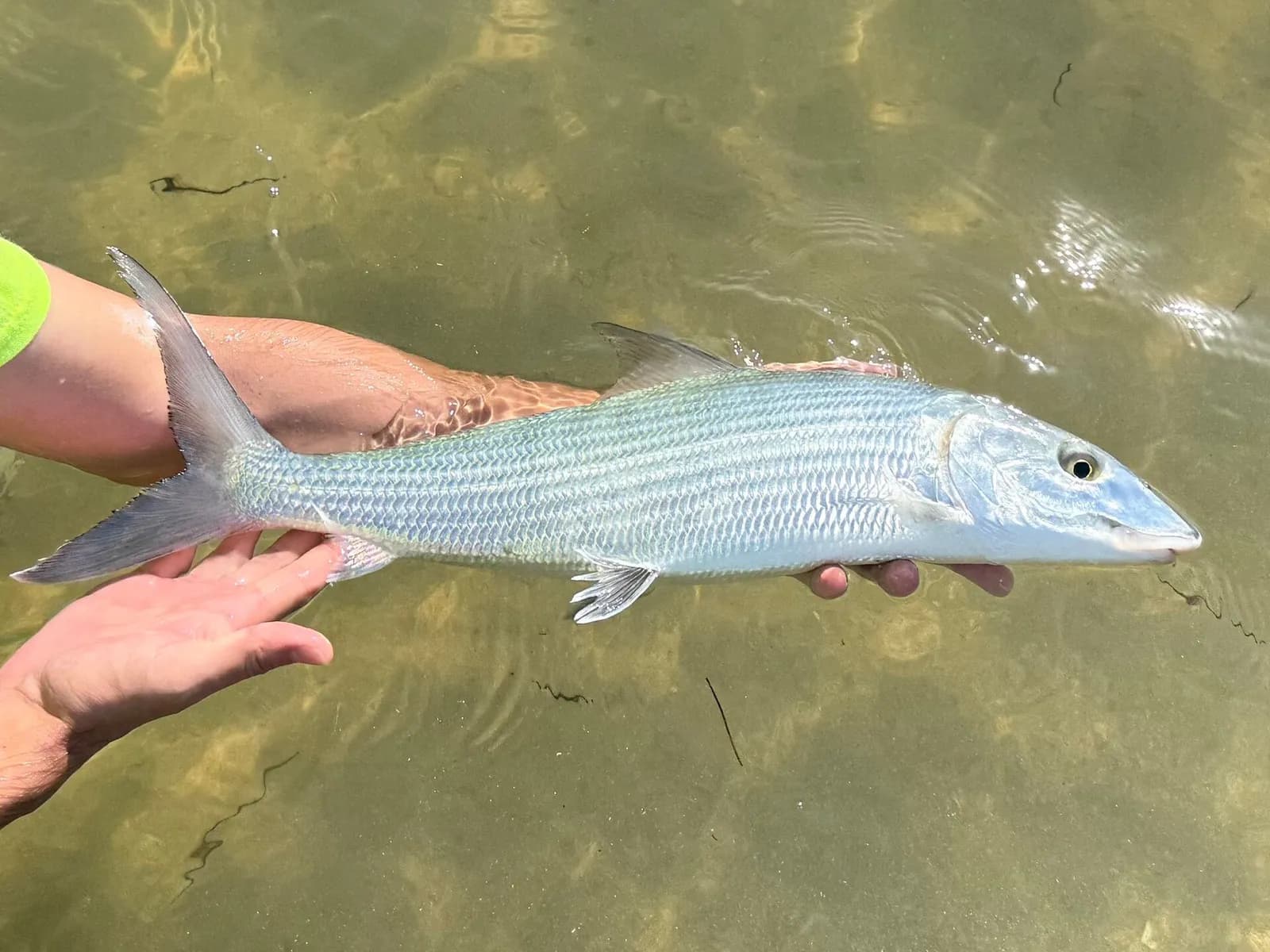
Hands hold a bonefish just above the shallow water of a sand flat before releasing it

Saltwater flats

9′ rod, 8 weight, sealed-drag reel, tropical floating line · Bonefish, redfish, permit and other flats species

Open the checklist
Videos for this water (2)

Watch: flats fishing basics

About this

Sight casting, the strip set and sun on the water.

Public YouTube videos from established channels, chosen by us to support this page. Not sponsored; the creators are not affiliated with Legendary Fly Gear.

  • FLY FISHING FOR REDFISH BASICS 101 INTRODUCTION FOR BEGINNERSEmbedded from YouTube · Huge Fly Fisherman · not affiliated with Legendary Fly Gear. Watch on YouTube
  • How To Set Up For A Bonefish TripEmbedded from YouTube · The New Fly Fisher · not affiliated with Legendary Fly Gear. Watch on YouTube

Not sponsored All videos on saltwater flats

Fish Tales

About this

Trip stories anglers chose to share publicly and tagged with Point Judith Harbor of Refuge.

No stories from here yet.

Sources for this page

Not a statement of access, fish presence or conditions.

Something wrong?

All 7 sources and dates

A water page organises discovery. It does not assert public access, legal access, current fish presence, guide availability or fishing conditions.

Flows, gauge statistics and flood stages come from USGS and the National Weather Service when the page is shown; tides from NOAA CO-OPS. Regulations, stocking, species and season statements link to the agency that publishes them; this page copies only the species names and the quoted sentences. Guide and shop listings come from the Legendary directories. Position: the point for “Point Judith Harbor of Refuge” (bay) in the USGS Geographic Names Information System. Water type is our own classification.