
Big trout rivers (wade fishing)
9′ rod, 5–6 weight, floating line · Rainbow and brown trout, whitefish
Open the checklistMohaka River downstream of the confluence with the Mangatainoka River to State Highway 5, excluding tributaries All year FS 2 Note 3 downstream of State Highway 5 Bridge All year FS 2
Set for this water by name. Reaches have different dates: the months shown are open on every reach.
Exceptions on the page:
All waters or portions of waters not specifically listed below 1 Oct - 30 Jun FS 1
Sports Fishing Regs 2026/27 Hawke's Bay
Fish & Game NZ · checked 2026-11-04. Dates change each season: confirm them there.
No provider we read publishes a machine-readable feed on this water. We show no number rather than a guessed one.
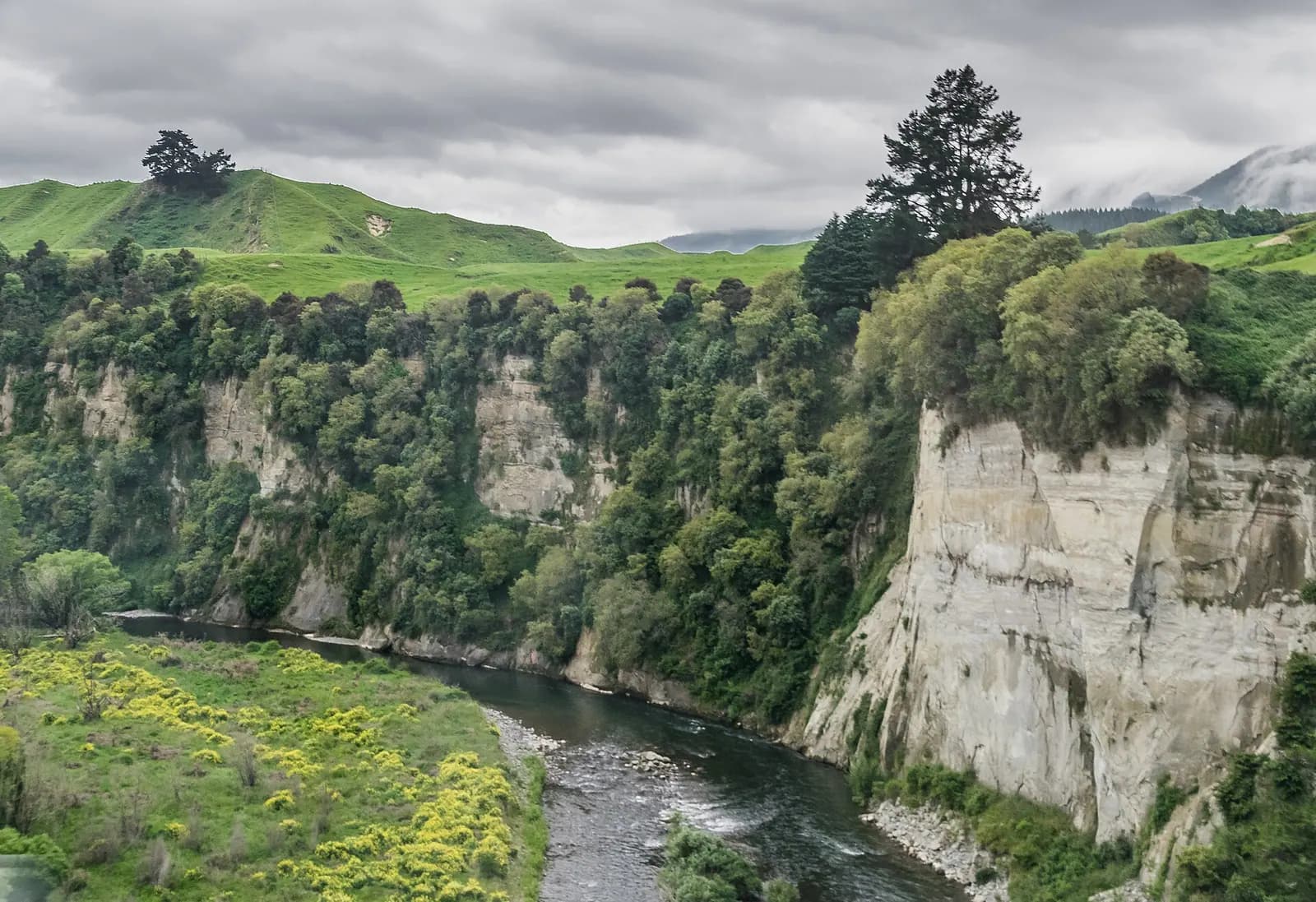
The upper Mohaka River from the State Highway 5 bridge near Te Haroto, Hawke's Bay. Photo: Krzysztof Golik, CC BY-SA 4.0, via Wikimedia Commons
The Mohaka River is a freestone river in the Hawke's Bay region of New Zealand. Fish & Game Hawke's Bay lists it as one of its fisheries. It runs from the Kaweka and Kaimanawa headwaters to the sea near Mohaka township, and is open all year below the Mangatainoka confluence.
Nothing on this page grants or implies access: check the agency map, posted signs and landowner permission before you fish. Most waters here need a rod licence or permit and often a beat booking or club ticket; the listing pages under Regulations say which.
Nothing on this page grants or implies access.
Restrooms within 2 miles of Mohaka River in a straight line, nearest first, with what anglers found when they went. The map says a restroom is there, not whether it is clean or open today.
Map of the restroom near Mohaka River
Skip the map; every place is in the list belowMap of 1 restroom near Mohaka River, numbered as in the list, with the water’s point marked.
At a campground · Department of Conservation
Not rated yet — be the first to tell other anglers if it's clean.
Mapped on OpenStreetMap · see or fix it on the map
Restroom locations and map details: © OpenStreetMap contributors, Open Database License, read Oct 24, 2026. Ratings, answers and photos are members' own; who shared them is never shown, and every photo is reviewed before it appears. Visits older than 18 months no longer count. Distances are straight-line miles, not driving. Nothing here grants access to private land. Community guidelines.
Each line is an official list that names this water. Those pages are the authority on seasons, licences, limits and closures for each beat or reach; read them before you go.
Named among the country's best by Fish & Game New Zealand.
Listings are unclaimed: confirm licensing, rates, dates and hours directly.
No guide within 60 km yet.
No shop nearby yet.
The species the agency lists here; presence varies by reach and season.
Listed by the agency
Matched on the fish the agencies list for both waters first, then the same water type, an official designation or flagship listing on both, and a similar mapped size where USGS hydrography covers both.
At most two waters per country. A shared fish is a listing, not a promise: presence varies by reach and season.
Like the Mohaka River? Same fish, US waters.
 Gold Medal Water
The Roaring Fork River in Basalt, Colorado. Photo: Jeffrey Beall, CC BY 4.0, via Wikimedia Commons
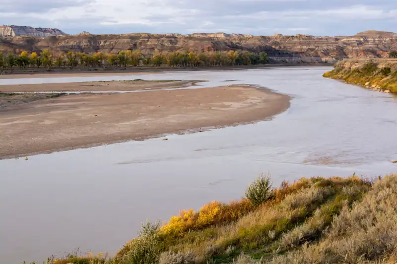 Among the state's most-fished waters (agency angler survey)
The lower Yellowstone River at the Badlands Fishing Access Site near Terry, eastern Montana (far downstream of the Paradise Valley trout water). Photo: Bureau of Land Management Montana-Dakotas, public domain, via Wikimedia Commons
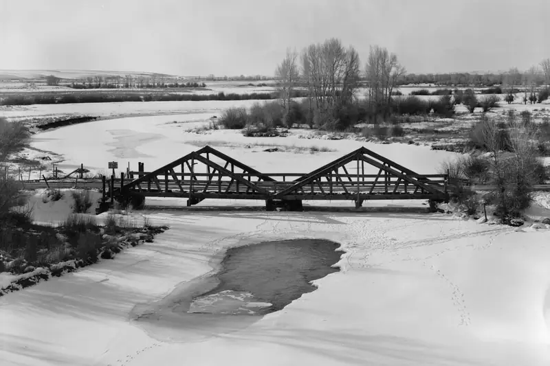 Blue Ribbon
The New Fork River at the DDZ Bridge near Boulder, Wyoming, in winter. Photo: Clayton B. Fraser, public domain, cropped, via Wikimedia Commons
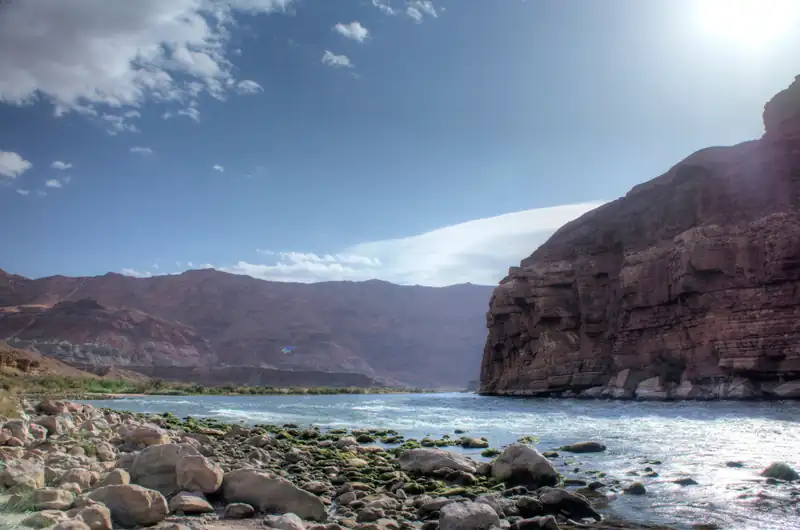 Blue RibbonRepresentative photo · not Canyon Creek
The Colorado River at Lees Ferry, Arizona. Photo: Denny Armstrong, CC BY 2.0, via Wikimedia Commons Not Canyon Creek.
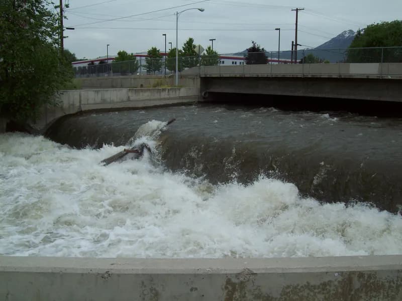 Blue RibbonRepresentative photo · not Weber River
The Provo River from the Provo River Parkway, Utah. Photo: An Errant Knight, CC BY-SA 4.0, via Wikimedia Commons Not Weber River.
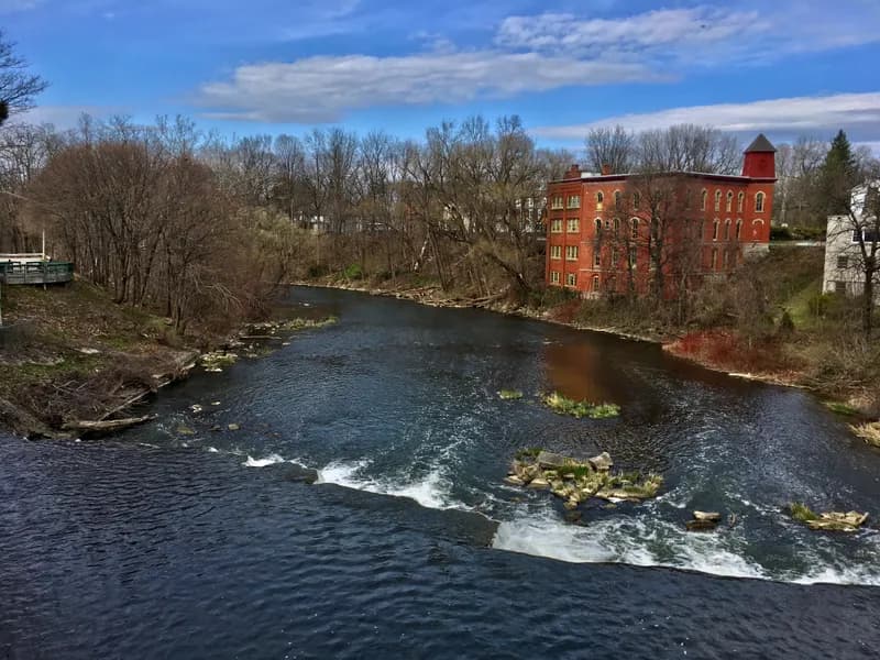 Steelhead / salmon waterRepresentative photo · not Genesee River
Oatka Creek at Le Roy, New York, looking north from the Main Street bridge. Photo: Andre Carrotflower, CC BY-SA 4.0, via Wikimedia Commons Not Genesee River.
A wade-fishing checklist for big trout rivers: a 9 ft 5–6 weight outfit, nymph, dry and streamer setups, waders, boots and a wading staff, with estimated prices by tier and where to buy.
9′ rod, 5–6 weight, floating line · Rainbow and brown trout, whitefish
Open the checklistSeams, shelves and soft water, shown on real rivers.
Public YouTube videos from established channels, chosen by us to support this page. Not sponsored; the creators are not affiliated with Legendary Fly Gear.
Not sponsored All videos on reading water
Indicator rigs, depth and detecting the take.
Public YouTube videos from established channels, chosen by us to support this page. Not sponsored; the creators are not affiliated with Legendary Fly Gear.
Not sponsored All videos on nymphing
Trip stories anglers chose to share publicly and tagged with Mohaka River.
No stories from here yet.
Not a statement of access, fish presence or conditions.
A water page organises discovery. It does not assert public access, legal access, current fish presence, guide availability or fishing conditions.
Live readings come from the named provider when the page is shown, under the licence shown on each card. Designations, species and the flagship note link to the agency or body that publishes them; this page copies only the list wording and the species names. Guide and shop listings come from the Legendary directories. Position: the OpenStreetMap feature “Mōhaka River, Hawke's Bay, New Zealand” (© OpenStreetMap contributors, ODbL), found with Nominatim; a point on or near the named feature, approximate. Water type is our own classification.
Napier, Hawke's Bay, New Zealand
Fish camp · 11 mi