
Fish Partner
- Fly-fishing guide
- Names this water
- Saltwater & ocean charters
- Beginners & lessons
- Unclaimed
Fluguveiðitímabil (20. apríl – 31. maí) Aðeins má veiða á flugu með flugustöng og öllum urriða skal sleppt. … Almennt stangveiðitímabil (1. júní – 15. september) Frá 1. júní til og með 15. september er heimilt að veiða með flugu, maðki eða spún.
Our translation: Fly-fishing season (20 April – 31 May): only fly fishing with a fly rod is allowed and all brown trout must be released. … General rod season (1 June – 15 September): from 1 June to 15 September inclusive, fishing with fly, worm or spoon is allowed.
Set for Þingvellir National Park angling area on the northern shore of Þingvallavatn (Leirutá on Lambhagi to Langatangi south of Arnarfell), not the land of Kárastaðir. The national park part of the lake opens 20 April with fly only and catch-and-release for trout until 31 May, then fly, worm or spoon until 15 September.
Exceptions on the page:
Veiðibann gildir í Ólafsdrætti frá 1. júlí til og með 31. ágúst vegna hrygningar bleikju.Öll veiði í Öxará og svæðinu sunnan óss hennar er bönnuð, þar með talið við vestanverðan Lambhaga.Stangveiði - Þjóðgarðurinn á Þingvöllum
Þjóðgarðurinn á Þingvöllum (Þingvellir National Park) · checked 2026-11-05. Dates change each season: confirm them there.
No provider we read publishes a machine-readable feed on this water. We show no number rather than a guessed one.
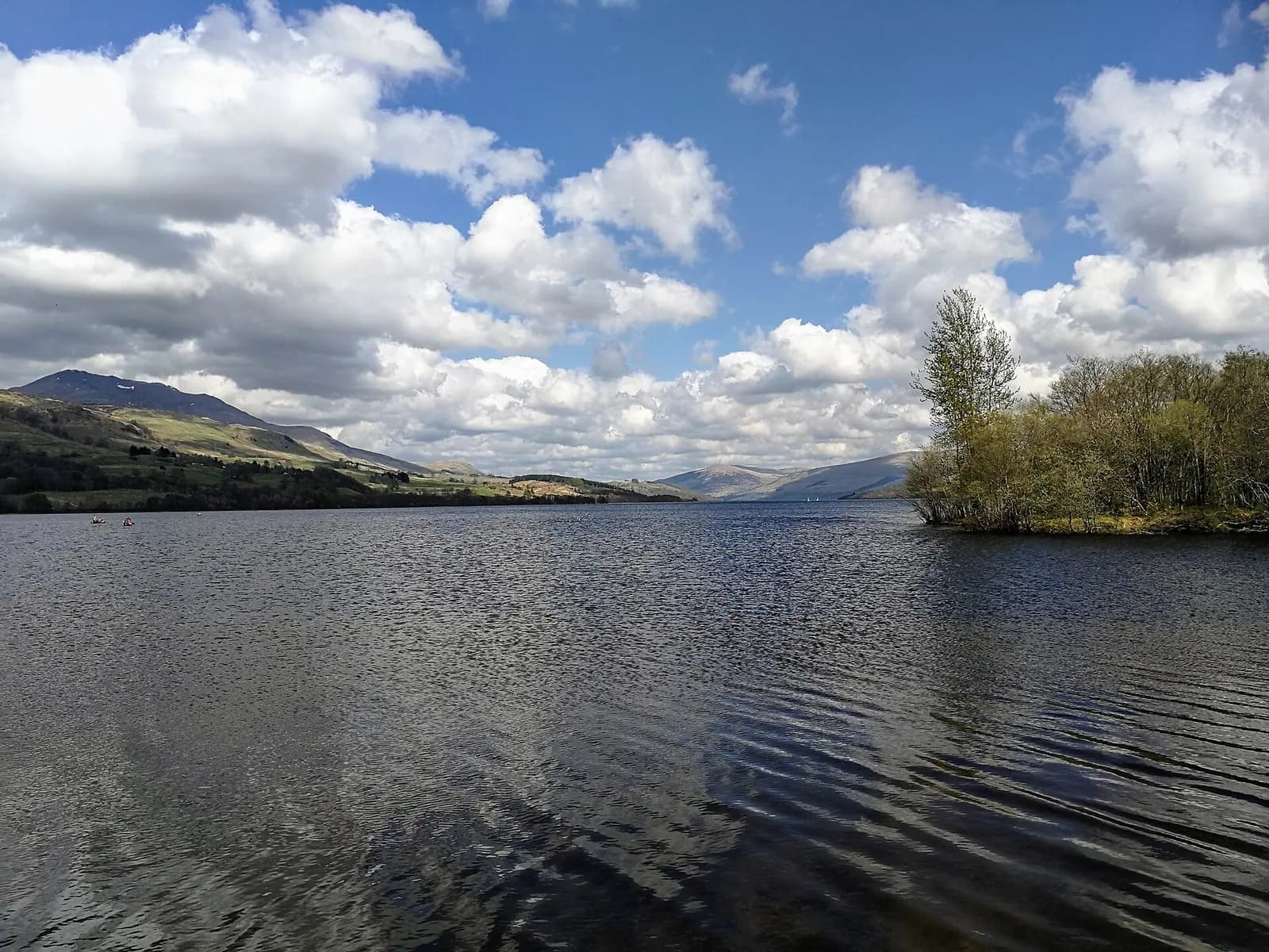
Þingvallavatn is a lake in the Southern Region of Iceland. Þingvellir National Park manages angling on the lake's northern shore. Iceland's Marine and Freshwater Research Institute (Hafrannsóknastofnun) studied it in its report “HV 2025-42”. The national park angling area is the northern shore, from Leirutá on Lambhagi to Langatangi south of Arnarfell; other shores are fished under other permits. Also called Thingvellir lake.
Nothing on this page grants or implies access: check the agency map, posted signs and landowner permission before you fish. Most waters here need a rod licence or permit and often a beat booking or club ticket; the listing pages under Regulations say which.
Nothing on this page grants or implies access.
Restrooms within 2 miles of Þingvallavatn in a straight line, nearest first, with what anglers found when they went. The map says a restroom is there, not whether it is clean or open today.
No restroom mapped within 2 mi yet — add one you know.
Campgrounds, fishing access sites and boat ramps often have one that isn't on the map yet.
Restroom locations and map details: © OpenStreetMap contributors, Open Database License, read Oct 24, 2026. Ratings, answers and photos are members' own; who shared them is never shown, and every photo is reviewed before it appears. Visits older than 18 months no longer count. Distances are straight-line miles, not driving. Nothing here grants access to private land. Community guidelines.
Each line is an official list that names this water. Those pages are the authority on seasons, licences, limits and closures for each beat or reach; read them before you go.
Listings are unclaimed: confirm licensing, rates, dates and hours directly.
1 guide name it on their website
No shop nearby yet.
The species the agency lists here; presence varies by reach and season.
Í Þingvallavatni eru fjögur afbrigði af bleikju (kuðungableikja, sílableikja, murta og dvergbleikja) og urriða stofn
Our translation: Þingvallavatn has four morphs of Arctic char (large benthic, piscivorous, small pelagic "murta" and small benthic) and a brown trout stock
Listed as: bleikju, urriða.
Listed by the agency
Matched on the fish the agencies list for both waters first, then the same water type, an official designation or flagship listing on both, and a similar mapped size where USGS hydrography covers both.
At most two waters per country. A shared fish is a listing, not a promise: presence varies by reach and season.
Like the Þingvallavatn? Same fish, US waters.
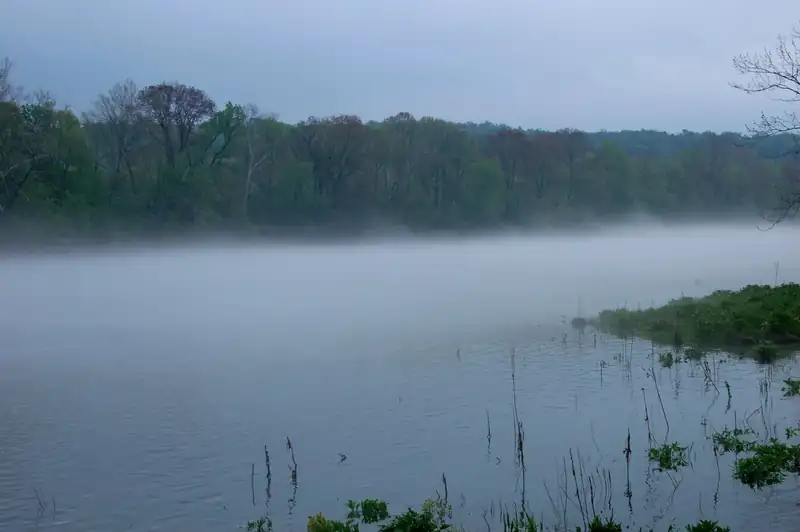 Tailwater trout fishery
Fog on Lake Taneycomo, Missouri. Photo: Luke Wisley, CC BY 2.0, via Wikimedia Commons
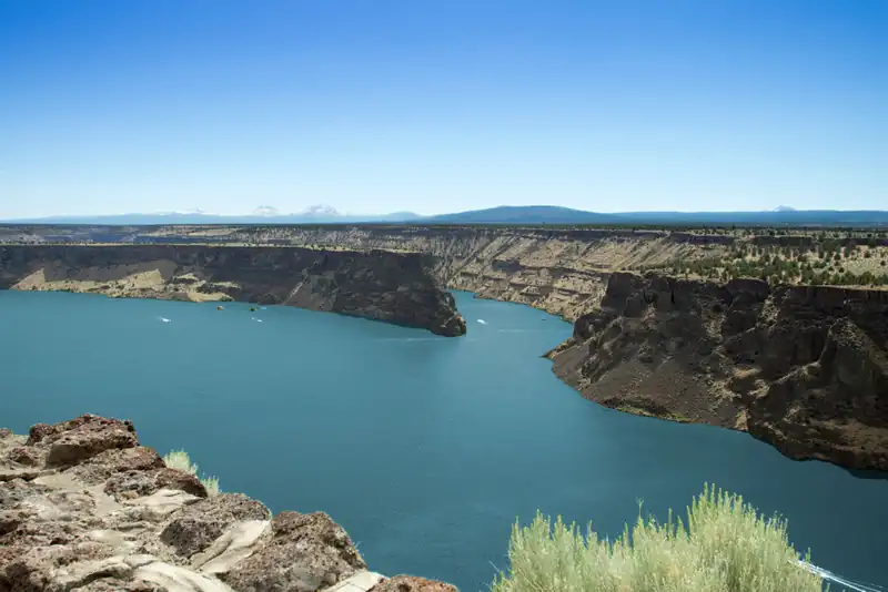 Featured sport-fishing water
Lake Billy Chinook, Oregon. Photo: icetsarina, CC0, via Wikimedia Commons
 Featured sport-fishing waterRepresentative photo · not Lake Pend Oreille
Henrys Lake from Henrys Lake State Park, Idaho. Photo: James Postema, CC BY 4.0, via Wikimedia Commons Not Lake Pend Oreille.
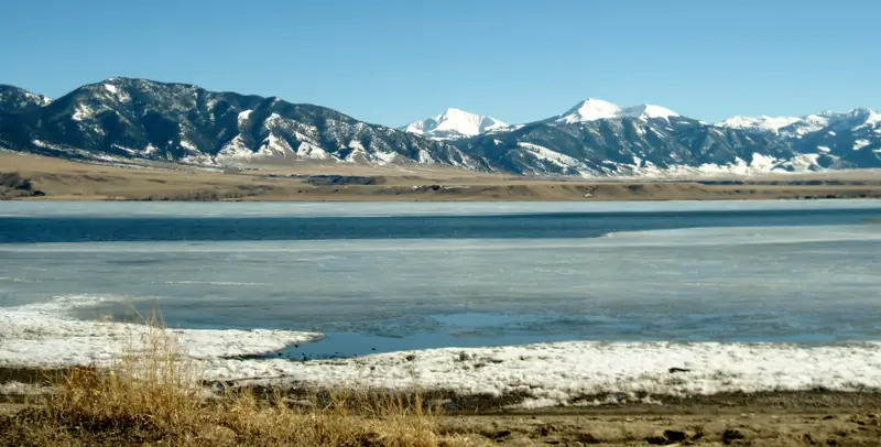 Featured sport-fishing waterRepresentative photo · not Bighorn Lake
Ennis Lake, Montana, in March, with the Madison Range beyond. Photo: Gloria Cabada-Leman, CC BY 2.0, via Flickr Not Bighorn Lake.
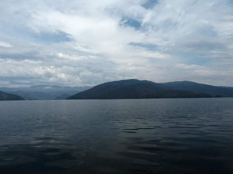 Trophy / quality trout waterRepresentative photo · not Martin Lake
Lake Jocassee from a canoe, South Carolina. Photo: TimothyJ from Atlanta, USA, CC BY 2.0, via Wikimedia Commons Not Martin Lake.
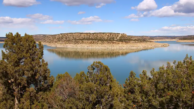 Catch and releaseRepresentative photo · not Becker Lake
Navajo Lake from Navajo Lake State Park, New Mexico. Photo: Larry D. Moore, CC BY 4.0, via Wikimedia Commons Not Becker Lake.
A stillwater fly-fishing checklist for lakes and ponds: a 9–10 ft 5–6 weight rod, floating and intermediate lines, chironomids and leeches, and float-tube options, with estimated prices and where to buy.
9′–10′ rod, 5–6 weight, floating + intermediate lines · Rainbow, brook and brown trout in lakes
Open the checklistChironomids, leeches and where fish hold in a lake.
Public YouTube videos from established channels, chosen by us to support this page. Not sponsored; the creators are not affiliated with Legendary Fly Gear.
Not sponsored All videos on stillwater
Trip stories anglers chose to share publicly and tagged with Þingvallavatn.
No stories from here yet.
Not a statement of access, fish presence or conditions.
A water page organises discovery. It does not assert public access, legal access, current fish presence, guide availability or fishing conditions.
Live readings come from the named provider when the page is shown, under the licence shown on each card. Designations, species and the flagship note link to the agency or body that publishes them; this page copies only the list wording and the species names. Guide and shop listings come from the Legendary directories. Position: the OpenStreetMap feature “Þingvallavatn, Grímsnes- og Grafningshreppur, Southern Region, Iceland” (© OpenStreetMap contributors, ODbL), found with Nominatim; a point on or near the named feature, approximate. Water type is our own classification.