
Bear Creek

Type
Freestone river, California (West)
Designation
Wild Trout Water
USGS gauges
None listed
Guides
1 nearby
Shops
None listed

Today on the Bear Creek

No live reading for this water
Why there is no reading

Nothing live is published for this water, so there is no reading or verdict today. The readings section below says what we checked.

Regulations & access Guides & shops

Bear Creek is a freestone river in California, listed as Wild Trout Water by California Department of Fish and Wildlife / California Fish and Game Commission.

More about the Bear Creek

1 guide nearby are listed here.

Updated · Sources: Designated Wild Trout Waters (Fish and Game Commission)

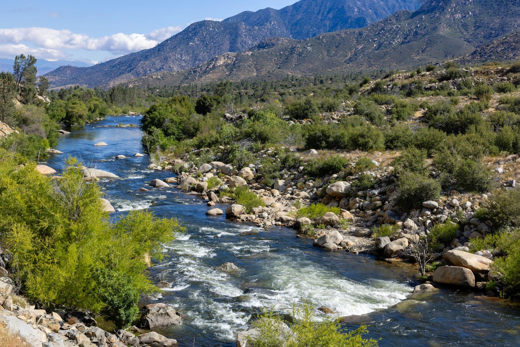
Representative photograph of similar water; not a photograph of this place.
Representative photograph, not this water.
Where it is

Bear Creek is a freestone river in California. California has 78 waters named Bear Creek in the USGS Geographic Names Information System; this page is the stream whose mouth is in Plumas County, the one the agency list names.

No real-time gauge

No real-time gauge on this water. We found no active USGS gauge on Bear Creek or on its stream system within about 25 miles, and no dam operator publishes data for it. A missing gauge says nothing about the water itself. Find the gauges nearest Bear Creek

About these readings

Nothing live is published for this water; the note below says what we checked.

Where to fish

About this

Start from the agency's public access map. Nothing on this page grants or implies access: check the agency map, posted signs and landowner permission before you fish.

Nothing on this page grants or implies access.

Restrooms near Bear Creek

Restrooms near Bear Creek

Restrooms within 2 miles of Bear Creek in a straight line, nearest first, with what anglers found when they went. The map says a restroom is there, not whether it is clean or open today.

No restroom mapped within 2 mi yet — add one you know.

Campgrounds, fishing access sites and boat ramps often have one that isn't on the map yet.

Restroom locations and map details: © OpenStreetMap contributors, Open Database License, read Oct 24, 2026. Ratings, answers and photos are members' own; who shared them is never shown, and every photo is reviewed before it appears. Visits older than 18 months no longer count. Distances are straight-line miles, not driving. Nothing here grants access to private land. Community guidelines.

More water near Bear Creek

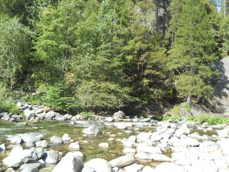
  • The Yuba River flowing over boulders past conifers at Sierra CityWild Trout WaterRepresentative photo · not Middle Fork Feather River
    Photo credit

    The Yuba River at Sierra City, California. Photo: Yngvadottir, CC BY-SA 4.0, via Wikimedia Commons Not Middle Fork Feather River.

    Middle Fork Feather River

    California · about 7 mi

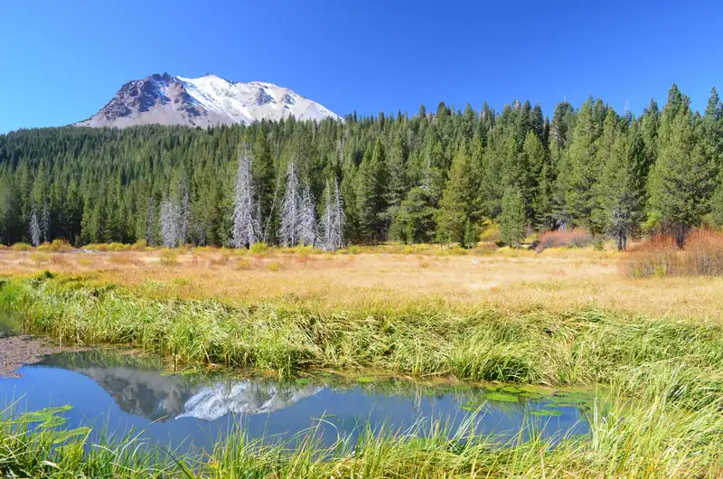
  • Lassen Peak reflected in upper Hat Creek, with autumn meadow grass and conifersWild Trout WaterRepresentative photo · not Onion Valley Creek
    Photo credit

    Upper Hat Creek below Lassen Peak, Lassen Volcanic National Park. Photo: NPS / Lassen Volcanic National Park, public domain, via Wikimedia Commons Not Onion Valley Creek.

    Onion Valley Creek

    California · about 7 mi

  • Pit River Falls spilling into a green basalt canyon near Fall River MillsWild Trout WaterRepresentative photo · not South Branch Middle Fork Feather River
    Photo credit

    Pit River Falls near Fall River Mills, California. Photo: Tom Hilton, CC BY 2.0, via Wikimedia Commons Not South Branch Middle Fork Feather River.

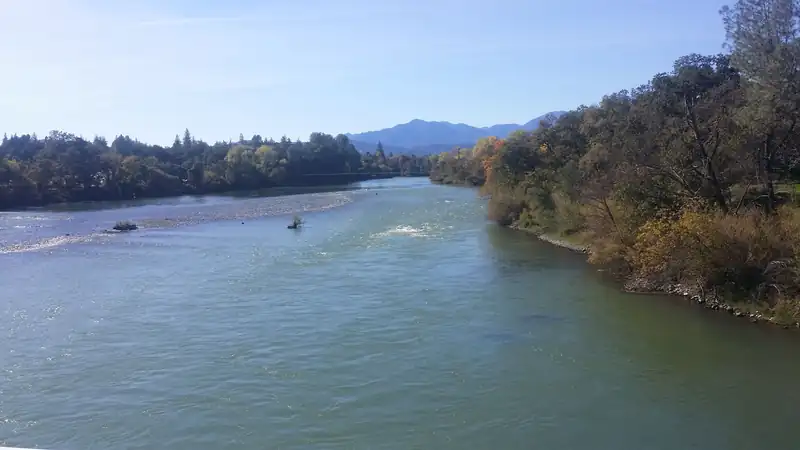
  • The Sacramento River flowing wide and green through Redding under a blue skyWild Trout WaterRepresentative photo · not Little North Fork of Middle Fork Feather River
    Photo credit

    The Sacramento River in Redding, California. Photo: RoyalMayfair, CC BY-SA 4.0, via Wikimedia Commons Not Little North Fork of Middle Fork Feather River.

  • Calm water backed up behind the low Fall River Dam, with juniper trees along the far bankWild Trout WaterRepresentative photo · not Nelson Creek
    Photo credit

    The Fall River Dam and the pool behind it at the lower end of the Fall River, near Fall River Mills, California. Photo: Astronomy1, CC BY-SA 3.0, via Wikimedia Commons Not Nelson Creek.

    Nelson Creek

    California · about 13 mi

  • Aerial view of Eagle Lake beyond the dry bed of Horse LakeWild Trout WaterRepresentative photo · not Long Lake
    Photo credit

    Eagle Lake, Lassen County, California, with dry Horse Lake in the foreground (aerial). Photo: Ken Lund from Reno, Nevada, USA, CC BY-SA 2.0, via Wikimedia Commons Not Long Lake.

    Long Lake

    California · about 18 mi

Regulations

About this

Seasons, limits, special regulations and closures for each reach are on the agency pages below. Read them before you go.

Official designation: Wild Trout Water

Each comes from the agency's own published list; where the list names a reach it is quoted. A designation applies to the listed reach, not necessarily the whole water. Listed in the finder under trout.

The water on the map

About this

Measured from the NHDPlus High Resolution (flowlines and waterbodies) (U.S. Geological Survey, read 2026-11-04) for this water’s own mapped feature. Rounded figures; they describe the channel, not today’s conditions.

Whole Bear Creek, not only this reach.

Length
5.6 mi
Drains
21.7 sq mi
Drop
1,620 ft · 289.3 ft/mi
Flows into
Middle Fork Feather River
Watershed
Middle Fork Feather

Guides and shops near Bear Creek

About this

Listings marked Unclaimed are built from open map records and the business's own website: confirm licensing, rates, dates and hours directly.

Guides

Shops nearby

No shop nearby yet.

How these are chosen

Guides whose own website names this water come first, nearest first. After them, fly-focused guides within 40 miles whose website does not name it. Distances are straight-line.

Shops: fly shops first. A distance is shown when the shop’s website gives its location (within 60 miles); otherwise the shop is in one of the towns within 25 miles of the water.

Guide and shop listings come from the Legendary directories.

Species and hatches

About this

The hatch and season chart for this water's region.

When the bugs come off

Regional hatch months: California
About this chart

12 hatches charted for the region, not measured on this water. From California Fly Fisher (secondary sources: an angling organisation or magazine, not an agency).

  1. January: no charted hatch
  2. February: no charted hatch
  3. March: no charted hatch
  4. April: 1 charted hatch
  5. May: 7 charted hatches
  6. June: 11 charted hatches
  7. July: 10 charted hatches
  8. August: 7 charted hatches
  9. September: 5 charted hatches
  10. October: 3 charted hatches
  11. November: 1 charted hatch
  12. December: no charted hatch

American grannom (April to September) · Golden stonefly (May to July) · Green drake (May to July) · Pale morning dun (May to August) · Saddle-case caddis (May to September) · Salmonfly (May to June) · and 6 more on the chart

Plan a trip here

About this

None of our destination hubs is within 40 miles in a straight line. The trip planner builds a trip around the water itself: the guides and shops listed within 40 miles of it, its gauges and its nearest towns and airports.

No hub within 40 miles
Gear checklist

About this

A wade-fishing checklist for big western trout rivers: a 9 ft 5–6 weight outfit, nymph, dry and streamer setups, waders, boots and a wading staff, with estimated prices by tier and where to buy.

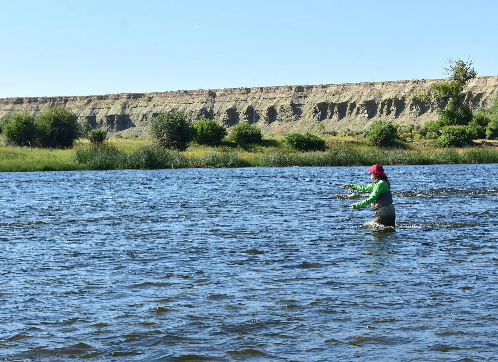
A woman in waders and a sun hat wades a broad river and casts, bluffs on the far bank

Big western rivers (wade fishing)

9′ rod, 5–6 weight, floating line · Rainbow and brown trout, whitefish

Open the checklist
Videos for this water (5)

Watch: reading a trout stream

About this

Seams, shelves and soft water, shown on real rivers.

Public YouTube videos from established channels, chosen by us to support this page. Not sponsored; the creators are not affiliated with Legendary Fly Gear.

  • How I Learned to Read Water (Fly Fishing)Embedded from YouTube · Mad River Outfitters · not affiliated with Legendary Fly Gear. Watch on YouTube
  • How To Read The Water with Tom RosenbauerEmbedded from YouTube · The New Fly Fisher · not affiliated with Legendary Fly Gear. Watch on YouTube
  • Reading the Water to Successfully Locate TroutEmbedded from YouTube · Orvis Guide to Fly Fishing · not affiliated with Legendary Fly Gear. Watch on YouTube

Not sponsored All videos on reading water

Watch: nymphing basics

About this

Indicator rigs, depth and detecting the take.

Public YouTube videos from established channels, chosen by us to support this page. Not sponsored; the creators are not affiliated with Legendary Fly Gear.

  • 90° Nymph RigEmbedded from YouTube · Huge Fly Fisherman · not affiliated with Legendary Fly Gear. Watch on YouTube
  • Casting with an Indicator & Better Nymphing TechniquesEmbedded from YouTube · The New Fly Fisher · not affiliated with Legendary Fly Gear. Watch on YouTube

Not sponsored All videos on nymphing

Fish Tales

About this

Trip stories anglers chose to share publicly and tagged with Bear Creek.

No stories from here yet.

Sources for this page

Not a statement of access, fish presence or conditions.

Something wrong?

All 7 sources and dates

A water page organises discovery. It does not assert public access, legal access, current fish presence, guide availability or fishing conditions.

Flows, gauge statistics and flood stages come from USGS and the National Weather Service when the page is shown. Regulations, stocking, species and season statements link to the agency that publishes them; this page copies only the species names and the quoted sentences. Guide and shop listings come from the Legendary directories. Position: a point on the mapped channel of “Bear Creek”, halfway along its length in California, from the USGS high-resolution hydrography (NHDPlus HR), read 4 Nov 2026. It marks the water, not a particular access or reach. Water type is our own classification.