
Fly fishing in Massachusetts.
Live flows, rules, access maps and nearby guides.
- 34waters
- 28with a live gauge
- 29designated
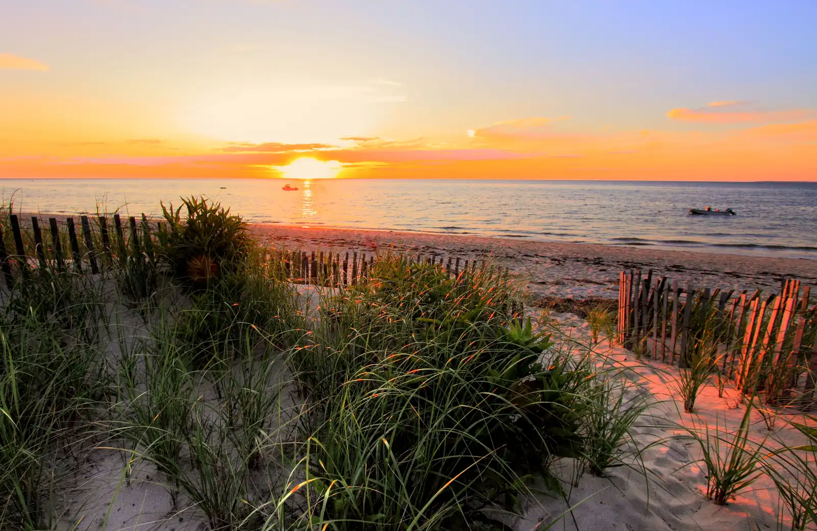
Photo credit
Sunset over the Brewster flats on Cape Cod Bay. Photo: PapaDunes, CC BY-SA 2.0, via Wikimedia Commons
34 fly-fishing waters in Massachusetts have a page here, 28 with a live USGS flow gauge and 28 with an official agency designation (such as Designated trout water).
More about Massachusetts
14 fly-fishing guides and 10 fly shops in Massachusetts are listed, unclaimed unless marked. Destination hubs: Cape Cod and Western Massachusetts: the Deerfield & the Swift.
35 watersMost fished first
- Cape Cod BaySaltwater flats · tides
- Nantucket SoundSaltwater flats · tides
- Deerfield RiverTailwater · Designated trout water · live flow
- Monomoy flatsSaltwater flats · tides
- Outer Cape beachesSurf and shore · tides
- Swift RiverTailwater · Designated trout water · live flow
- Cape Cod CanalSurf and shore · tides
- West RiverTailwater · Designated trout water · live flow
- Nashua RiverFreestone river · Special-regulation trout water · nearby gauge
- Green RiverFreestone river · Designated trout water · live flow
- Gates BrookFreestone river · Designated trout water · live flow
- Walker BrookFreestone river · Designated trout water · live flow
- Blackwater BrookFreestone river · Designated trout water · live flow
- Cold RiverFreestone river · Designated trout water · live flow
- East Branch Housatonic RiverFreestone river · Designated trout water · live flow
- East Branch Swift RiverFreestone river · Designated trout water · live flow
- East Branch Tully RiverFreestone river · Designated trout water · live flow
- Fort RiverFreestone river · Designated trout water · live flow
- French RiverFreestone river · Designated trout water · live flow
- Hoosic RiverFreestone river · Designated trout water · live flow
- Housatonic RiverFreestone river · Designated trout water · live flow
- Jones RiverFreestone river · Designated trout water · live flow
- Kinderhook CreekFreestone river · Designated trout water · live flow
- North Branch Hoosic RiverFreestone river · Designated trout water · live flow
- Old Swamp RiverFreestone river · Designated trout water · live flow
- Quashnet RiverFreestone river · Designated trout water · live flow
- Quinapoxet RiverFreestone river · Designated trout water · live flow
- Segreganset RiverFreestone river · Designated trout water · live flow
- Squannacook RiverFreestone river · Designated trout water · live flow
- Stillwater RiverFreestone river · Designated trout water · live flow
- Tiasquam RiverFreestone river · Designated trout water · live flow
- West Branch Swift RiverFreestone river · Designated trout water · live flow
- West Branch Westfield RiverFreestone river · Designated trout water · live flow
- Westfield RiverFreestone river · Designated trout water · live flow
- Pleasant BaySaltwater flats · tides
More in the East 13 states
About the Massachusetts list
About this
34 Massachusetts rivers, creeks, lakes and flats with a page: each with its official agency designations and their source, live USGS flow where a gauge exists, the state’s regulations and access map, and the guides and shops nearby. Waters that cross into Massachusetts from a neighbouring state are included.
A Massachusetts water is here because the state agency lists it under an official designation, because guides and shops in our directories name it on their own websites, or because a live USGS gauge sits on a river a guide names. Species appear only where an agency page states them. “Most fished first” ranks by designations and by how many guide and shop websites name the water.