Loading guides
Outfitters who fish with flies, by their own websites.
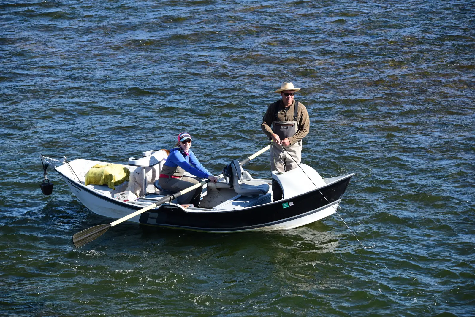
Fly fishing from a drift boat at Seedskadee National Wildlife Refuge, Wyoming. Photo: Tom Koerner, US Fish and Wildlife Service, public domain, via Wikimedia Commons
Fly fishing first; All fishing adds charters.
Montana FWP’s list identifies businesses authorized for commercial Smith River float trips in 2026. That scope does not establish services on other waters or current trip availability. Confirm permits, services, rates and dates with FWP and the business.
Filtered by All fishing. Clear filters
Showing 1–24 of 38
Map of guides in Rhode Island matching these filters
Skip the map; every place is in the list belowMap of guides matching these filters, for the ones whose own website gives a street address and map point, or a lodge or fly shop address it lists, placed by the US Census geocoder.
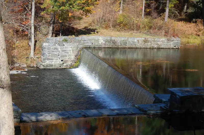
Water in the region, 74 mi awaySwift River, Massachusetts
Photo: Richard B. Johnson (LymanSchool), CC BY-SA 3.0, via Wikimedia Commons. Not a photo of this business. Opens the photo's source page in a new tab.
Water in the region, 56 mi awayCape Cod Canal, Massachusetts
Photo: Pvalerio, CC BY 3.0, via Wikimedia Commons. Not a photo of this business. Opens the photo's source page in a new tab.
Water in the region, 54 mi awayCape Cod Bay, Massachusetts
Photo: PapaDunes, CC BY-SA 2.0, via Wikimedia Commons. Not a photo of this business. Opens the photo's source page in a new tab.Fly-fishing guide
Based in Portsmouth, RI
Water in the region, 61 mi awaySwift River, Massachusetts
Photo: Richard B. Johnson (LymanSchool), CC BY-SA 3.0, via Wikimedia Commons. Not a photo of this business. Opens the photo's source page in a new tab.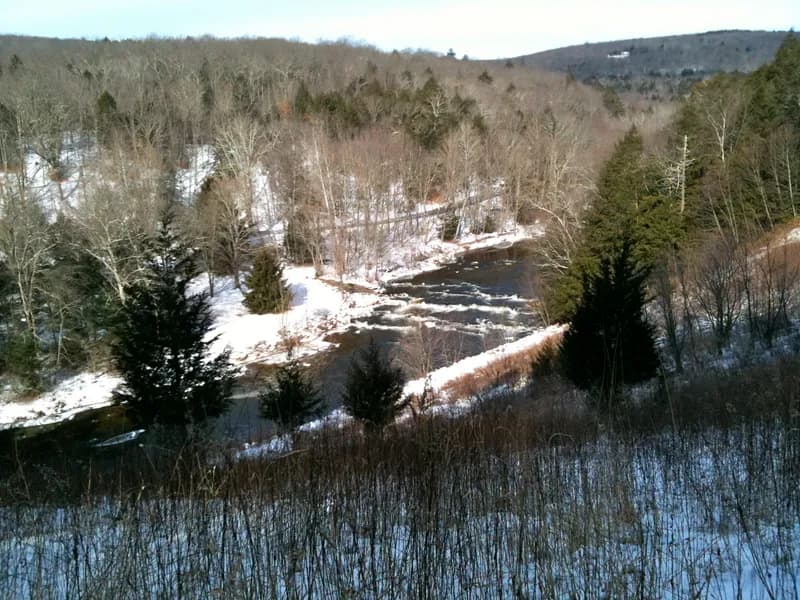
Nearby waterSalmon River, Connecticut
Photo: H. Morrow Long, CC BY-SA 3.0, via Wikimedia Commons. Not a photo of this business. Opens the photo's source page in a new tab.Fishing guide
Based in Westerly, RI
Map record, unconfirmed. Open map record. Trips, licensing and current operation aren’t confirmed.
Water in the region, 56 mi awayCape Cod Canal, Massachusetts
Photo: Pvalerio, CC BY 3.0, via Wikimedia Commons. Not a photo of this business. Opens the photo's source page in a new tab.Fishing guide
Based in South Kingstown, RI
Map record, unconfirmed. Open map record. Trips, licensing and current operation aren’t confirmed.
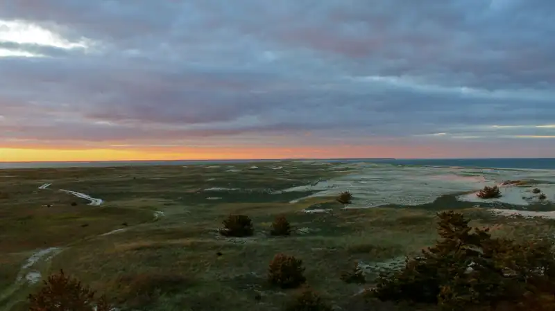
Water in the region, 68 mi awayMonomoy flats, Massachusetts
Photo: U.S. Fish and Wildlife Service, Northeast Region, public domain, via Wikimedia Commons. Not a photo of this business. Opens the photo's source page in a new tab.
Fishing guide
Based in Newport, RI
Map record, unconfirmed. Open map record. Trips, licensing and current operation aren’t confirmed.
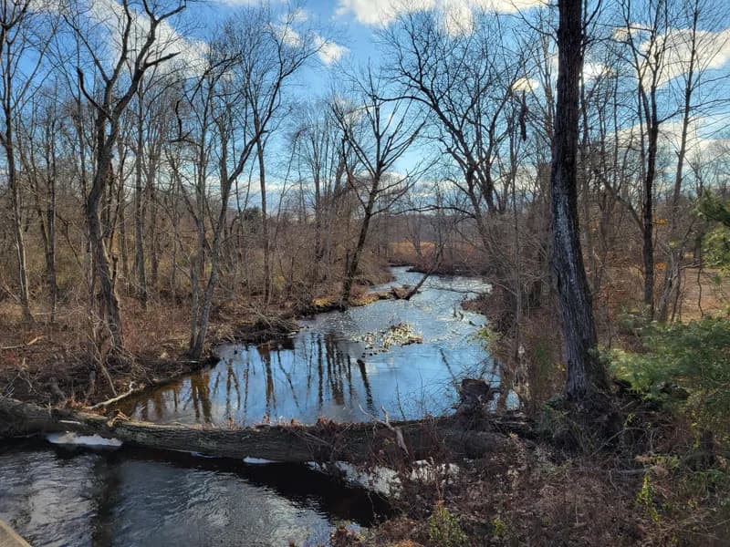
Nearby waterEightmile River, Connecticut
Photo: John Phelan, CC BY 4.0, via Wikimedia Commons. Not a photo of this business. Opens the photo's source page in a new tab.Fishing guide
Based in Westerly, RI
Map record, unconfirmed. Open map record. Trips, licensing and current operation aren’t confirmed.
Water in the region, 72 mi awayCape Cod Bay, Massachusetts
Photo: PapaDunes, CC BY-SA 2.0, via Wikimedia Commons. Not a photo of this business. Opens the photo's source page in a new tab.Fishing guide
Based in Narragansett, RI
Map record, unconfirmed. Open map record. Trips, licensing and current operation aren’t confirmed.
Water in the region, 66 mi awayCape Cod Canal, Massachusetts
Photo: Pvalerio, CC BY 3.0, via Wikimedia Commons. Not a photo of this business. Opens the photo's source page in a new tab.Fishing guide
Based in Block Island, RI
Map record, unconfirmed. Open map record. Trips, licensing and current operation aren’t confirmed.
Water in the region, 61 mi awaySwift River, Massachusetts
Photo: Richard B. Johnson (LymanSchool), CC BY-SA 3.0, via Wikimedia Commons. Not a photo of this business. Opens the photo's source page in a new tab.Fishing guide
Based in Warwick, RI
Map record, unconfirmed. Open map record. Trips, licensing and current operation aren’t confirmed.
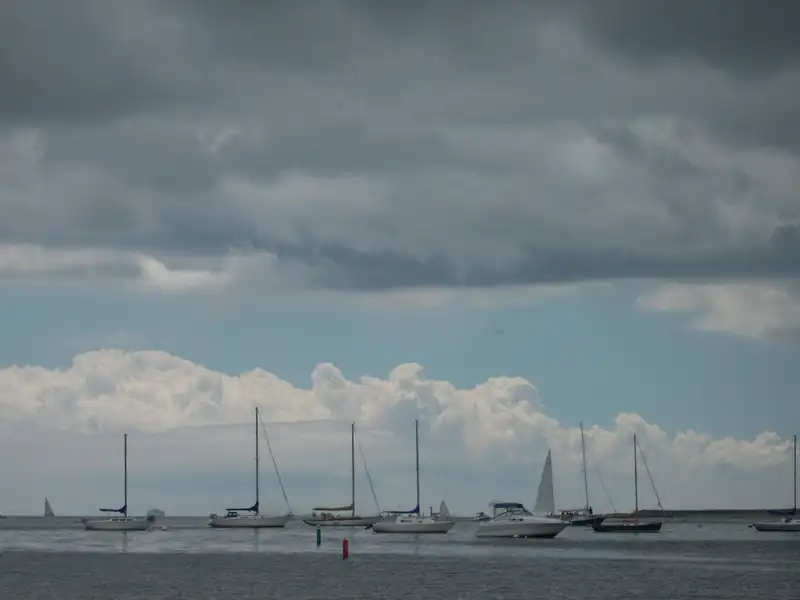
Water in the region, 65 mi awayNantucket Sound, Massachusetts
Photo: EgorovaSvetlana, CC BY-SA 4.0, via Wikimedia Commons. Not a photo of this business. Opens the photo's source page in a new tab.Fishing charter (conventional tackle)
Based in Narragansett, RI
Water in the region, 52 mi awaySalmon River, Connecticut
Photo: H. Morrow Long, CC BY-SA 3.0, via Wikimedia Commons. Not a photo of this business. Opens the photo's source page in a new tab.Fishing charter (conventional tackle)
Based in Warwick, RI
Fishing charter (conventional tackle)
Based in Westerly, RI
Water in the region, 72 mi awayCape Cod Bay, Massachusetts
Photo: PapaDunes, CC BY-SA 2.0, via Wikimedia Commons. Not a photo of this business. Opens the photo's source page in a new tab.
Fishing charter (conventional tackle)
Based in Narragansett, RI
Water in the region, 52 mi awaySalmon River, Connecticut
Photo: H. Morrow Long, CC BY-SA 3.0, via Wikimedia Commons. Not a photo of this business. Opens the photo's source page in a new tab.Fishing charter (conventional tackle)
Based in Warwick, RI
Water in the region, 66 mi awayNantucket Sound, Massachusetts
Photo: EgorovaSvetlana, CC BY-SA 4.0, via Wikimedia Commons. Not a photo of this business. Opens the photo's source page in a new tab.
Fishing charter (conventional tackle)
Based in South Kingstown, RI

Fishing charter (conventional tackle)
Based in Wakefield, RI
Water in the region, 74 mi awaySwift River, Massachusetts
Photo: Richard B. Johnson (LymanSchool), CC BY-SA 3.0, via Wikimedia Commons. Not a photo of this business. Opens the photo's source page in a new tab.
Fishing charter (conventional tackle)
Based in Narragansett, RI
Nearby waterSalmon River, Connecticut
Photo: H. Morrow Long, CC BY-SA 3.0, via Wikimedia Commons. Not a photo of this business. Opens the photo's source page in a new tab.
Fishing charter (conventional tackle)
Based in Westerly, RI
Fishing charter (conventional tackle)
Based in Narragansett, RI
Nearby waterCape Cod Canal, Massachusetts
Photo: Pvalerio, CC BY 3.0, via Wikimedia Commons. Not a photo of this business. Opens the photo's source page in a new tab.Fishing charter (conventional tackle)
Based in Portsmouth, RI
Listings: Overture Maps Places , release 2026-09-23.1 (© Overture Maps Foundation; OpenStreetMap-derived records © OpenStreetMap contributors, ODbL). Details: each outfitter’s own website, checked October 2026 by our crawler, which follows robots.txt and records facts only. Listings are unclaimed and not verified by Legendary Fly Gear unless marked Claimed; licenses and availability are not checked. Logos and photos marked “Photo from” a website are the outfitter’s own, from its own website, credited and removed on request; an outfitter that claims its listing can replace them. Other card photographs show a water we cover, never the outfitter: credited photographs from Wikimedia Commons and public agencies (tap © for each credit). We never copy descriptions or reviews.
Veteran-owned and veteran programs: guides and shops by what they say on their own websites or an official register, the SBA VetCert register or an approved claim (the listing page names the source), organisations, and license concessions for veterans and service members.
Official source: Montana FWP Smith River information .