Fly fishing near Ledgewood, New Jersey

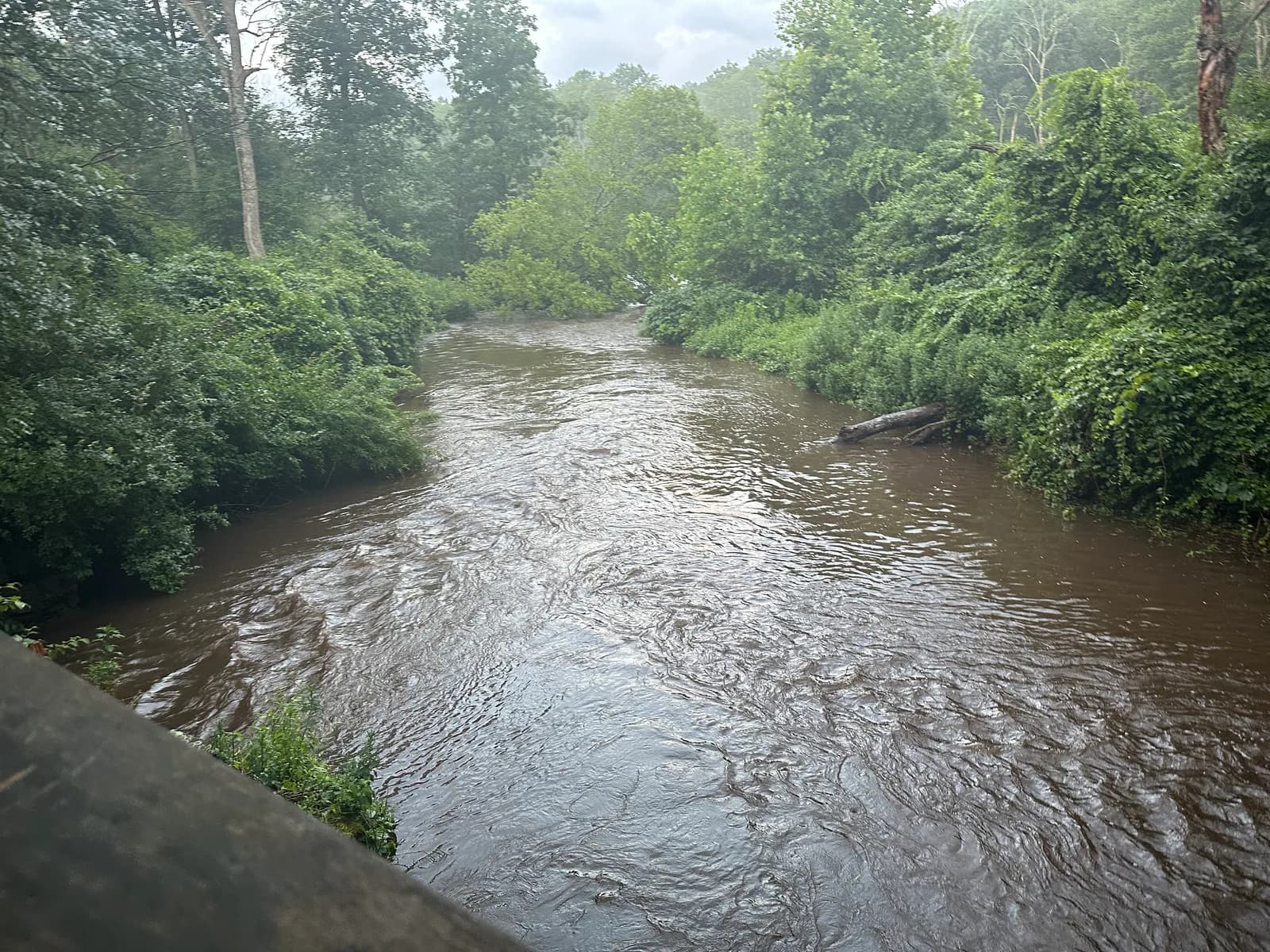
The South Branch Raritan River running brown after rain beside the Columbia Trail
Photo credit

The South Branch Raritan River at the Columbia Trail after rain, New Jersey. Photo: Magpieturtle, CC BY 4.0, via Wikimedia Commons

27 waters with a page lie within 25 miles of Ledgewood, New Jersey, in a straight line; the nearest are Jackson Brook (3 mi), Musconetcong River (3 mi) and Turkey Brook (4 mi).

More about Ledgewood

2 fly shops are in Ledgewood or within 15 miles, unclaimed unless marked on their page. The nearest destination hub is Roscoe & the Catskills, 74 miles away.

Updated · Sources: USGS GNIS (town point)

27 waters near Ledgewood

About this

Straight-line miles from the town's point in the USGS Geographic Names Information System to the nearest mapped point or gauge on each water; the road is longer. Each page has the live flow where a gauge reports, the agency's rules and access map, and who guides it.

Within 25 miles, straight line

  1. Jackson BrookFreestone river · 3 mi · Wild Trout Water
  2. Musconetcong RiverFreestone river · 3 mi · Special-regulation trout water · live USGS flow
  3. Turkey BrookFreestone river · 4 mi · Wild Trout Water
  4. India BrookFreestone river · 5 mi · Wild Trout Water
  5. Burnett BrookFreestone river · 6 mi · Wild Trout Water
  6. Whippany RiverFreestone river · 9 mi · Wild Trout Water · live USGS flow
  7. Pequest RiverFreestone river · 9 mi · Special-regulation trout water · live USGS flow
  8. Primrose BrookFreestone river · 12 mi · Wild Trout Water
  9. Stephensburg BrookFreestone river · 13 mi · Wild Trout Water
  10. Pequannock RiverFreestone river · 14 mi · Wild Trout Water · live USGS flow
  11. Cold BrookFreestone river · 14 mi · Wild Trout Water
  12. Passaic RiverFreestone river · 15 mi · Wild Trout Water · live USGS flow
  13. White LakeLake or reservoir · 16 mi · Special-regulation trout water
  14. Rocky RunFreestone river · 18 mi · Wild Trout Water
  15. Clinton ReservoirLake or reservoir · 18 mi · Special-regulation trout water
  16. Brass Castle CreekFreestone river · 20 mi · Wild Trout Water
  17. Round Valley ReservoirLake or reservoir · 20 mi · Trophy / quality trout water
  18. Beaver BrookFreestone river · 21 mi · Wild Trout Water · live USGS flow
  19. Van Campens BrookFreestone river · 21 mi · Wild Trout Water
  20. Flat BrookFreestone river · 22 mi · Catch and release · live USGS flow
  21. Wanaque RiverFreestone river · 22 mi · Wild Trout Water · live USGS flow
  22. West BrookFreestone river · 22 mi · Wild Trout Water · live USGS flow
  23. South Branch Raritan RiverFreestone river · 23 mi · Catch and release · live USGS flow
  24. Dunnfield CreekFreestone river · 24 mi · Wild Trout Water
  25. Lake WawayandaLake or reservoir · 24 mi · Special-regulation trout water
  26. Bush KillFreestone river · 25 mi · Catch and release · live USGS flow
  27. Toms CreekFreestone river · 25 mi · Catch and release

Fly shops nearby

About this

Shops that name Ledgewood as their town or publish a location within 15 miles. Facts come from each shop's own website; listings are unclaimed unless their page says claimed.

Nearest destination hub

Roscoe & the Catskills · 74 mi

Where this comes from

Sources

Town point: USGS Geographic Names Information System (town points) (U.S. Geological Survey, public domain), feature 877722, Morris County. Water positions, gauges, designations and species: the sources listed on each water page. Guides and shops: their own websites, as listed on each page. Nothing here grants or implies access: check the agency map, posted signs and landowner permission before you fish.

Nothing here grants access. Check maps, signs and landowners.