
Jemas Ranch
Daniel, Wyoming
Guest ranch · 0.7 mi
- Unclaimed
- Guided fishing
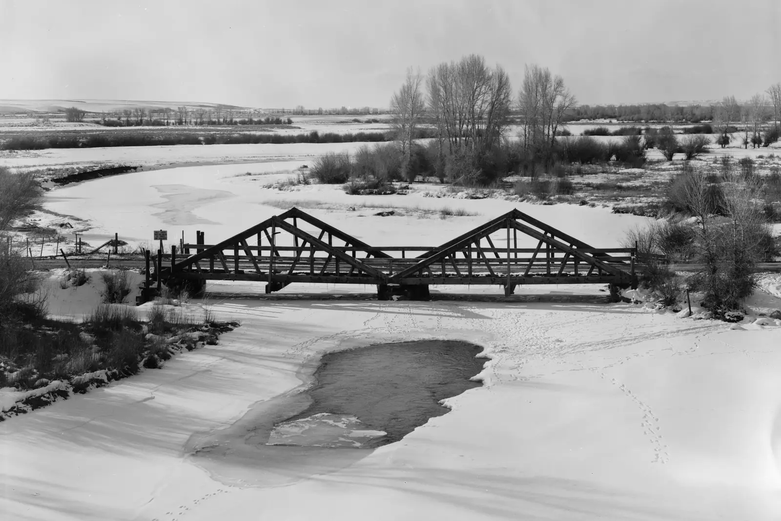
The New Fork River at the DDZ Bridge near Boulder, Wyoming, in winter. Photo: Clayton B. Fraser, public domain, cropped, via Wikimedia Commons
7 waters with a page lie within 25 miles of Daniel, Wyoming, in a straight line; the nearest are Forty Rod Creek (5 mi), Duck Creek (6 mi) and New Fork River (11 mi).
3 fly-fishing guides are in Daniel or within 15 miles, unclaimed unless marked on their page. The nearest destination hub is Jackson Hole, 55 miles away.
Straight-line miles from the town's point in the USGS Geographic Names Information System to the nearest mapped point or gauge on each water; the road is longer. Each page has the live flow where a gauge reports, the agency's rules and access map, and who guides it.
Within 25 miles, straight line
Guides and outfitters that name Daniel as their town or are mapped within 15 miles. Confirm licences, rates and dates directly; listings are unclaimed unless their page says claimed.
Jackson Hole · 55 mi
Town point: USGS Geographic Names Information System (town points) (U.S. Geological Survey, public domain), feature 1587343, Sublette County. Water positions, gauges, designations and species: the sources listed on each water page. Guides and shops: their own websites, as listed on each page. Nothing here grants or implies access: check the agency map, posted signs and landowner permission before you fish.
Nothing here grants access. Check maps, signs and landowners.
Daniel, Wyoming
Guest ranch · 0.7 mi
Pinedale, Wyoming
River cabins · 11 mi
Pinedale, Wyoming
Fishing lodge · 11 mi
Pinedale, Wyoming
Fishing lodge · 17 mi
Cora, Wyoming
Fishing lodge · 25 mi